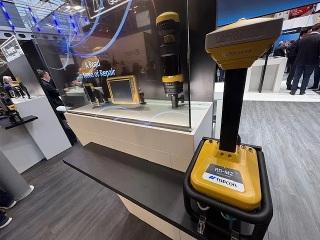
Using robotic total stations and Millimeter GPS, Topcon’s ZS100 combines two existing technologies to give operators fewer set-ups, fewer instruments – and a much simpler job site
Topcon Positioning Systems (TPS) is working with the Vatican and Pope Benedict XVI to develop the Person and Technological Innovation program for agriculture. The program is designed to introduce young people in developing countries to technologies and applications of precise positioning in the global agriculture markets. Initial training will be conducted at the TPS training facilities in Modena, Italy. Countries targeted for the first projects will be Cameroon, Ethiopia and Ghana.
Maximising the economic benefit of infrastructure assets can be achieved through delivering better quality maintenance. Increasing utilisation of infrastructure follows on from those assets being in better condition. Clearly by tracking infrastructure condition closely, huge gains can be made in addressing technical issues before they become more serious and more costly, as well as minimising disruption. In UK city Birmingham, high resolution aerial photography from Bluesky is helping the city council under
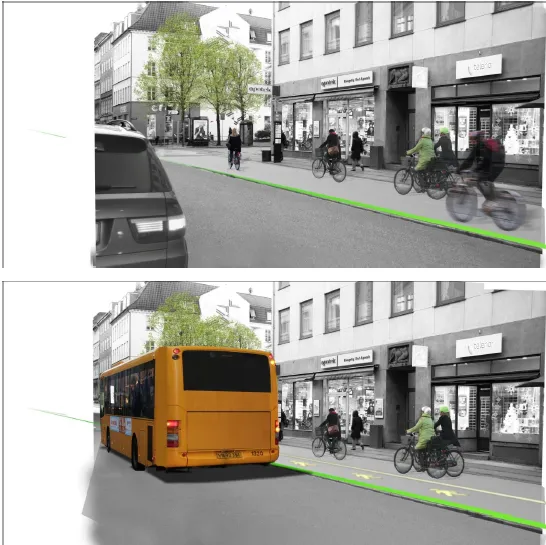
Copenhagen, Denmark, has long been known as one of the world’s leading cities for cycling. In some areas of the city, the modal share of bikes has reached a level of as much as 50 %. And on some of the most frequently used bike paths the average daily number of cyclists is close to 30,000. As these numbers continue to rise, new ways of planning and implementing cycling infrastructure are needed. Increasingly, Danish traffic planners are turning to technology as a tool for planning cycling infrastructure. I