Using robotic total stations and Millimeter GPS, Topcon’s ZS100 combines two existing technologies to give operators fewer set-ups, fewer instruments – and a much simpler job site
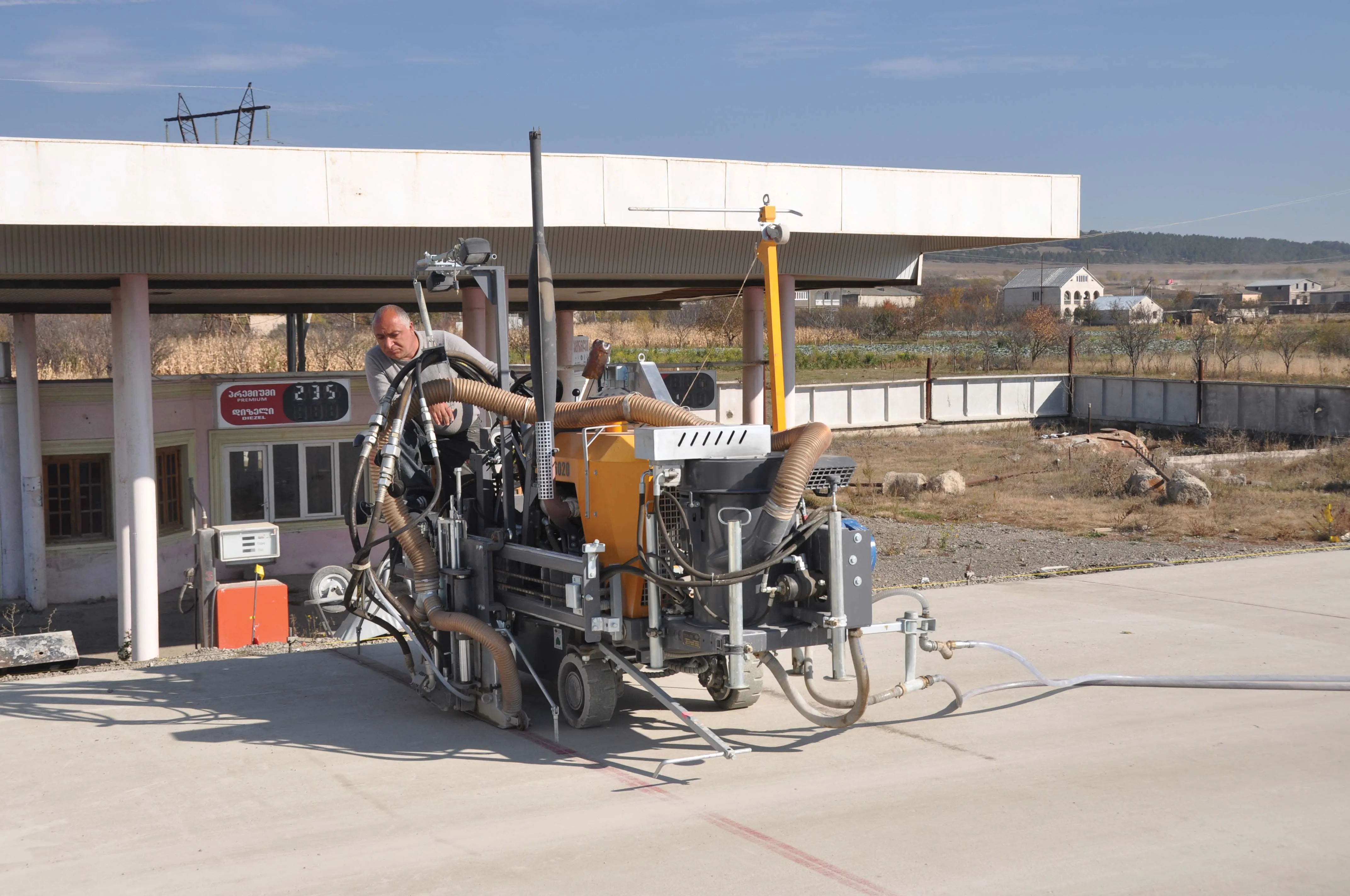
The Silk Route is one of the oldest trading links between Europe and Asia and is being upgraded with some of the newest equipment. The nation of Georgia is located on what is known as the ‘crossroads’ between Western Asia and Eastern Europe. It lies to the east of the Black Sea and is on one of the shortest routes between western China and Europe. Since the Middle Ages this strategically important country has played host to one of the network of roads collectively known as the Silk Route. For much of the 20
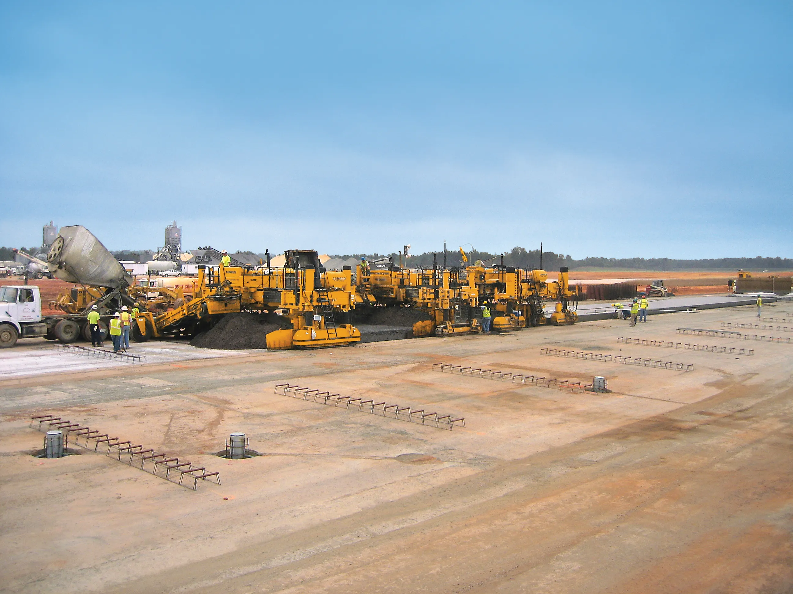
Leica Geosystems has launched v3.0 of its Leica PaveSmart 3D system, which is designed specifically for concrete and asphalt paving and milling applications. This upgraded package is now said to support a wider range of paving equipment and applications than before. PaveSmart 3D v3.0 will be available late March 2012 through Leica Geosystems’ direct sales and approved paving solution distribution channels, including GOMACO.
Leica Geosystems has launched v3.0 of its Leica PaveSmart 3D system, which is designed specifically for concrete and asphalt paving and milling applications. This upgraded package is now said to support a wider range of paving equipment and applications than before. PaveSmart 3D v3.0 will be available late March 2012 through Leica Geosystems’ direct sales and approved paving solution distribution channels, including GOMACO.