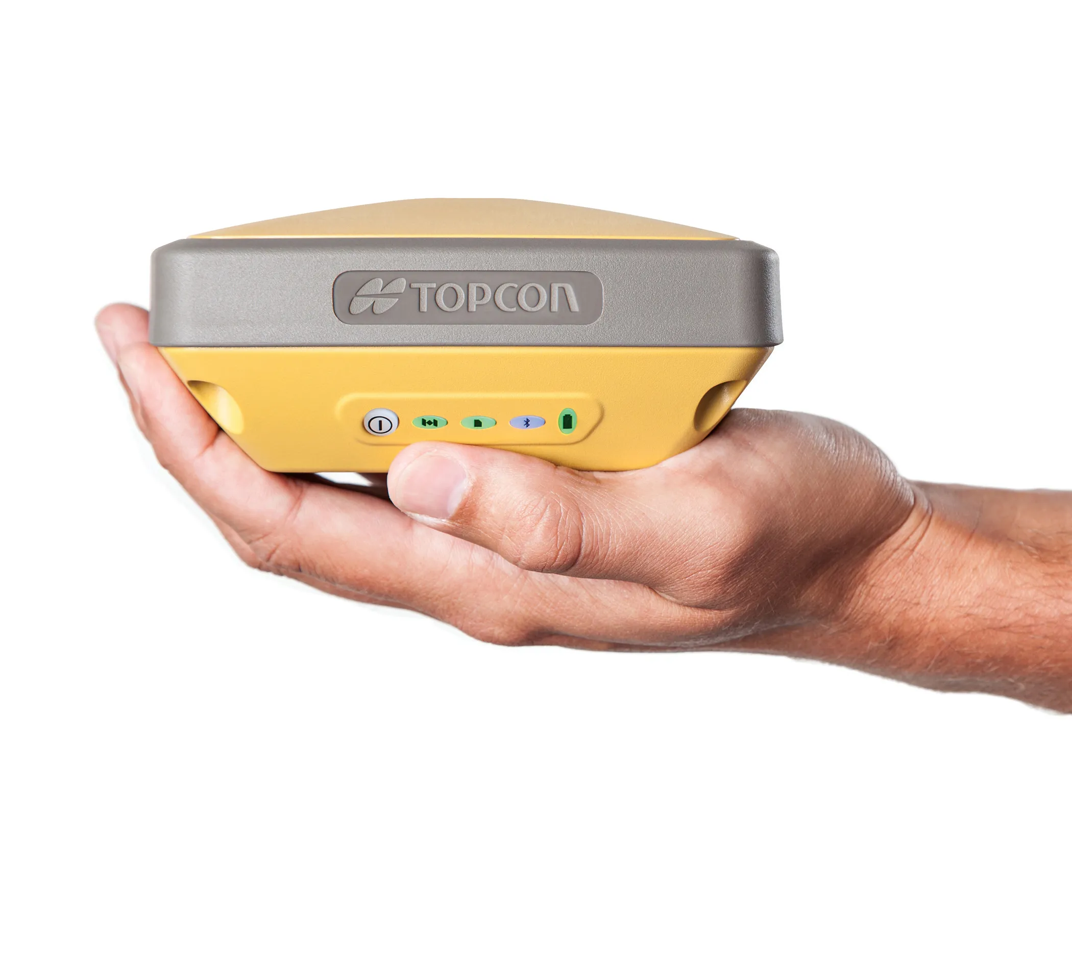
Using robotic total stations and Millimeter GPS, Topcon’s ZS100 combines two existing technologies to give operators fewer set-ups, fewer instruments – and a much simpler job site
Topcon Postioning is now offering a sophisticated surveying tool in the shape of an auto-collimating total station for surveying professionals looking for a motorised solution. The firm says that this rugged waterproof total station benefits from the latest TSshield technology for advanced security and maintenance. The system can also be upgraded to Autotracking when the customer is ready to advance further to robotic applications. The GT-503M can be used for Tunnel Guidance and Periodic Monitoring applicat
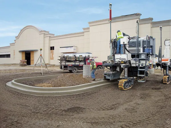
Wirtgen has developed a novel control system for use on its concrete paving equipment. Matthias Fritz is the product engineer at Wirtgen tasked with developing the system. The new AutoControlpackage uses GPS technology to provide guidance for the machine's steering functions. Fritz added, "It has an augmentation centre for vertical control because it requires millimetre accuracy for height." This 3D control system is for use with the firm's SP15 and SP25 slipform pavers and is said to be a user-friendly, co
Topcon is offering an array of new tools that can improve surveying and machine control capabilities for contractors. Light and compact, the B110 dual-frequency positioning receiver board features the new Vanguard ASIC system and can support 226 universal channels for GPS, GLONASS and Galileo tracking and scalable positioning. The B110 board’s small size, low power consumption and versatile communication interfaces make it easy to integrate into any precise positioning application. It features a high perfor
Laser scanners and improved data collection and analysis software are making light of asset management surveying. David Arminas reports
The age of the laser scanner is upon us, taking over from traditional manual methods of surveying, data collection and processing. These new technical developments are making it much easier to process and use the data captured and are providing highways engineers with powerful tools to record, map and visualise their assets.
This is good news for highways authorities