Roundtable: data mining and the intelligence it creates

In this, the third in our series of top-level roundtable discussions led by World Highways, editor Mike Woof and roundtable host Nadira Tudor talk machine control technology with three world-class experts from Leica Geosystems (part of Hexagon), Topcon, and Trimble...
December 15, 2022

Related Content

  • Data allowing safety on UK motorways
    February 17, 2025
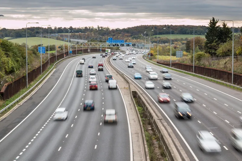
    Accurate data is allowing safer roads for UK motorways
  • Data sharing boosts workzone safety
    March 19, 2012
    Faster and safer utilities works are the benefit of innovative data sharing moves – Mike Woof writes. Utilities works in urban areas can cause major problems with regard to traffic congestion, as well as posing key safety issues for road users and site workers. Better planning of utilities operations can help tackle congestion and prevent jams, while also ensuring that on-site personnel have a safer working environment. To ensure that site workers know the exact location of buried utilities, comprehensive m
  • Industry agrees telematics data deal
    February 25, 2014
    Industry associations and manufacturers have reached an agreement on telematics data. A large group off heavy equipment manufacturers, fleet managers and two leading industry associations have agreed on unified communications for telematics.
  • London police mapping crash data
    June 27, 2013
    London’s Metropolitan Police Service is using the latest desktop mapping software to collate essential data about road traffic collisions. The advanced Geographical Information System (GIS) from GGP Systems in being used to identify and map the exact location of incidents where a personal injury has occurred and prepare detailed reports for the Department for Transport (DfT) and Transport for London (TfL). This can be used to highlight problem areas, with plans for improving infrastructure then being drawn