Roundtable: data mining and the intelligence it creates

In this, the third in our series of top-level roundtable discussions led by World Highways, editor Mike Woof and roundtable host Nadira Tudor talk machine control technology with three world-class experts from Leica Geosystems (part of Hexagon), Topcon, and Trimble...
December 15, 2022

Related Content

  • Improved survey data handling
    August 2, 2012
    Leica Geosystems says that its Leica MobileMatriX v3.0 package can be used to synchronise survey data with an enterprise geodatabase, transfer digital images taken from a mobile phone via Bluetooth and link it with a feature, in addition to many other improvements. The firms says that its MobileMatriX v3.0 package offers a flexible and powerful mobile GIS application and can be used in both large projects and small projects involving only a few field crews. Survey data can be replicated within the editing p
  • Fast field data collection
    February 10, 2012
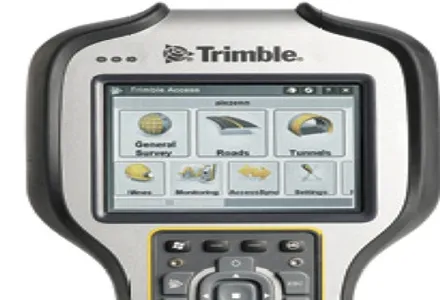
    Trimble's sophisticated TSC3 controller is designed to allow surveyors and geospatial professionals to collect, share and deliver data. This unit is said to improve accuracy, efficiency and productivity between the field and office and is designed to be used with the Trimble Access software. The TSC3 controller offers fast and reliable data collection, computing and connectivity capabilities and provides multiple functions in a single handheld device. The unit incorporates a digital camera, integrated commu
  • Road accident data management
    July 19, 2012
    IRF Geneva unveils a modern solution for road accident data management. This year's Intertraffic Amsterdam exhibition provided a high-profile backdrop for the launch of RADaR, a pioneering new tablet application developed to facilitate the on-site collection of precise and scientific accident data, primarily by traffic police. Introducing the application to an international audience gathered in the venue’s inaugural Smart Mobility Centre, IRF Geneva's director general, Sibylle Rupprecht, highlighted RADaR's
  • ESRI's highway data solution
    February 6, 2012
    ESRI is developing a comprehensive highway data maintenance and linear referencing solution scheduled for release in the fourth quarter of 2010. Aimed at highway departments, state departments of transportation, and national roadway administrations, the company says it will provide an integrated set of tools and functionality that allows agencies to easily maintain highway geometry, their associated multiple linear referencing systems, and complex roadway features.