
The Road Zipper™ system: Moveability Vs Traditional Barriers

June 1, 2025

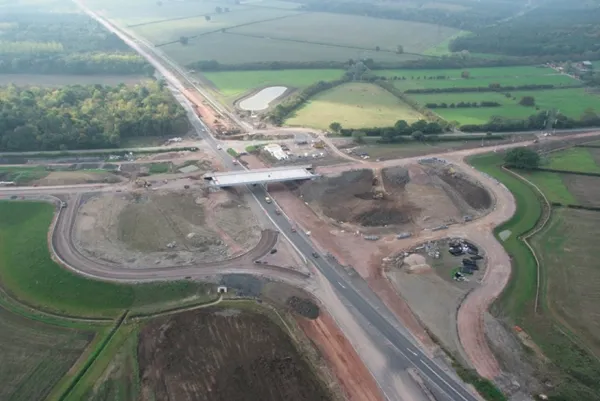
Improve construction project efficiency while saving lives and improving quality of life with the Road Zipper System™. As the world’s population grows, roads and highways must be expanded. The Road Zipper provides positive protection in work zones plus on-demand flexibility requiring minimum labor to increase windows of time for crews to work safely. As an all-in-one traffic management system, the Road Zipper also quickly and seamlessly shifts lanes to maximize traffic flow for commuters, reducing the risk of accidents and saving thousands of hours of drive time.

Content produced in association with Lindsay Corporation

Exhibitions

For more information on companies in this article

Related Content

  • Brisbane’s Airport: Innovative Management of One of the World’s Busiest Runways
    June 26, 2014
    When it comes to runways, there are few busier then Brisbane’s main runway. Servicing both domestic and international travel, with over 200,000 movements per year, operating without a curfew Brisbane’s main runway is the busiest in Australia. For maintenance, crews only have a limited period of time to determine the pavement condition, normally during the night, making the detection of pavement faults difficult. To resolve this issue, a new high speed pavement scanner was used to rapidly survey the pavem
  • Road tolling is vital for good roads
    January 2, 2024
    Upcoming transportation projects are outlined in planning documents throughout America by Mary Scott Nabers
  • Mobile mapping innovation
    June 1, 2022
    There are millions of kilometres of roads and features that need to be mapped in today’s world. We see a strong vision and application for the future, therefore Leica Geosystems, part of Hexagon, recently announced the introduction of the reality capture mobile mapping system Leica Pegasus TRK, introducing artificial intelligence, autonomous workflows and intuitive interfaces. This technology goes beyond the capabilities of what’s already been done, making it the perfect companion for today’s mobile mapping requirements.
  • Smart constructioon with GIS, GPS design technology
    May 2, 2012
    A UK highway project has benefited from the latest software, GIS and GPS technology, Mike Woof reports. Sophisticated software, GIS and GPS technology has played an important role in a large highway upgrade project in the UK and helping to increase efficiency and drive down construction costs.