Leica Geosystems has released a cloud solution to integrate, manage and analyse surveying and control workflows for heavy construction projects: ConX will increase efficiency and reduce downtime, the company says
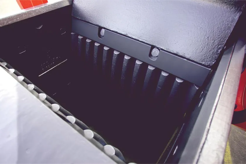
New technology broadens Sandvik's offering for crushing and screening. Mike Woof reports Sandvik is making a series of upgrades to its crushing and screening line in jaw and cone crushers as well as wear parts, and these should suit an array of applications ranging from small recycling operations up to large quarry sites. At the more versatile end of the range is the new CJ208 jaw crusher, the latest addition to the CJ200 series jaw crusher line-up. This crusher is the smallest of the CJ200 Series and offer
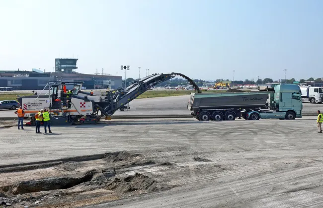
Rebuilding a runway requires special attention to detail to maximise efficiency and safety
Airport runways face special challenges with regard to the loads they carry on a daily basis, particularly when aircraft are landing. A modern jet aircraft will typically land at speeds of around 240-260km/h, with a laden 747 weighing as much as 265tonnes at the end of a long flight.
The stresses these large aircraft place on runway surfaces are enormous and not just with the massive impact forces exerted during
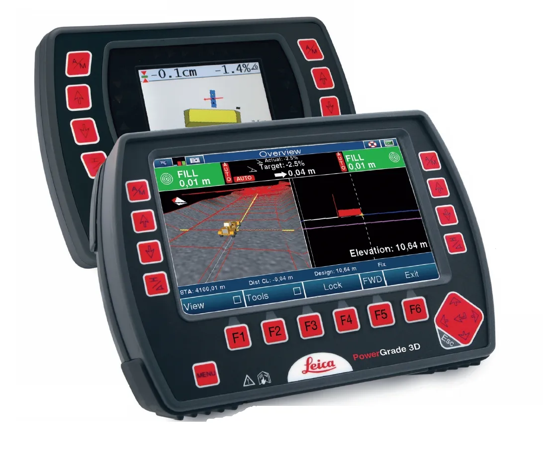
Leica Geosystems says that its CI-14 CAT Interface Module cuts installation time when fitting its 2D & 3D machine control systems to Caterpillar off-highway machines. Using the CI-14 package is said to eliminate the cost and effort of installing add-on hydraulic valves when fitting control tools from Leica Geosystems to Caterpillar K and T Series dozers and M Series graders. The CI-14 system can be used in conjunction with laser, slope, ultrasonic or 3D GPS/GNSS as well as the Leica PowerTracker total stati
Topcon says that its new IP-S2 package combines GNNS positioning capabilities with inertial sensors, while the firm also has a solution for customers wanting to mix and match receiver components. The IP-S2 is a vehicle-mounted, mobile 3D tool that offers precision mapping and surveying capabilities. The package collects data using 3D laser scanners, LIDAR, and/or cameras, and this is then integrated, time-stamped and geo-referenced. The customer can use this assembled data to combine LIDAR point cloud and d