Leica Geosystems has released a cloud solution to integrate, manage and analyse surveying and control workflows for heavy construction projects: ConX will increase efficiency and reduce downtime, the company says
Trimble has launched a range of new tools which it says will deliver faster and more accurate data to surveyors.
The Trimble S6 Robotic Total Station with Trimble Vision Technology enables surveyors to remotely see and measure through a live video feed from the instrument on their data controller.
Sokkia is introducing new field and office software solutions for its total stations, robotics and GNSS rover systems. These are the GeoPro Field and GeoPro Office packages.
GeoPro Field provides a graphical user interface designed to collect field measurements for land surveying and construction activities. Sokkia GeoPro Office is the office-processing complement to the field software and can clean, process, and analyse field data into an easy-to-use form.
The office software can also be expanded wi
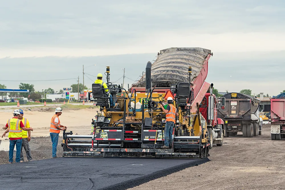
According to recent figures, there are over 560,000 potholes that pose a risk of damage to vehicles in the UK alone, and the situation is similar in countries across the globe.
Leica Geosystems has added two new modules to its iCON telematics platform. Using an MCH100 box with wireless connectivity, operators can tap into Leica’s new machine utilisation module to find out whether your earthmoving machines are working or not. The earthmover module is for any kind of cut and fill operation and monitors productivity and utilisation levels.