Leica Geosystems has released a cloud solution to integrate, manage and analyse surveying and control workflows for heavy construction projects: ConX will increase efficiency and reduce downtime, the company says
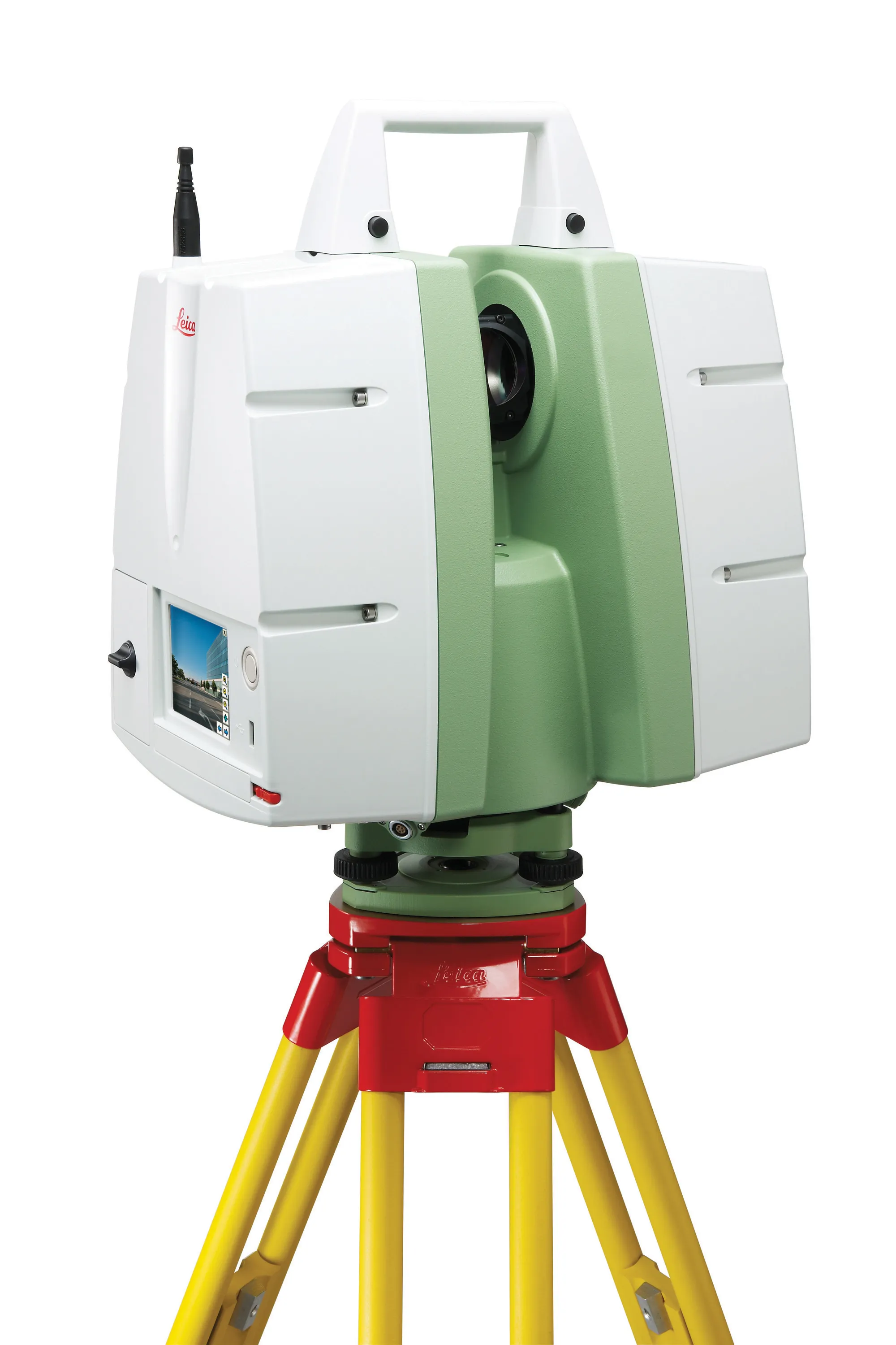
The upgraded ScanStation C10 laser scanning system from Leica Geosystems now offers high performance as well as increased versatility and productivity.
Topcon Positioning Group and Bentley Systems has run the first in its collaborative Constructioneering Academy initiatives
The first session was held recently in Livermore, California. The two firms have joined efforts to provide opportunities designed to allow construction industry professionals to learn best practices in constructioneering, a process of managing and integrating survey, engineering, and construction data, to streamline construction workflows and improve project delivery.
This approach
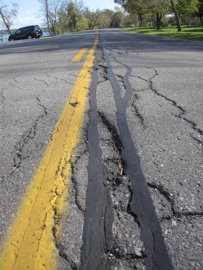
Poor asset management will often lead to “wrong decisions regarding replacements and improvements” or “uncertainty in decision-making”, according to recent research.
The result - 28% - is from a poll of 400 members of the UK-based global Institute of Asset Management (AIM) commissioned by technology company Yotta.
A further 26% highlighted “improper financial decision-making criteria for investment decisions and maintenance” as a major consequence of poor asset management.
The research also indicat
ESRI is developing a comprehensive highway data maintenance and linear referencing solution scheduled for release in the fourth quarter of 2010. Aimed at highway departments, state departments of transportation, and national roadway administrations, the company says it will provide an integrated set of tools and functionality that allows agencies to easily maintain highway geometry, their associated multiple linear referencing systems, and complex roadway features