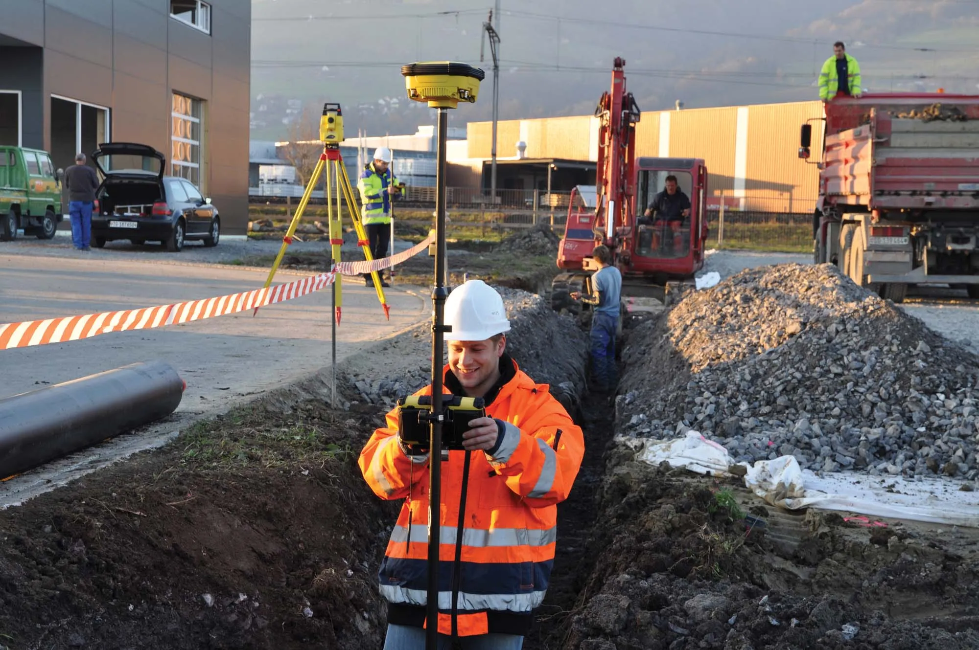
Leica Geosystems has released a cloud solution to integrate, manage and analyse surveying and control workflows for heavy construction projects: ConX will increase efficiency and reduce downtime, the company says
An array of new software tools will deliver greater efficiencies to construction companies – Mike Woof writes. Sophisticated software systems are delivering advanced solutions to traditional construction tasks. Key developments have been made by major players in the sector, such as Bentley Systems, Fugro Roadware, Leica Geosystems and Topcon Sokkia.
From Bentley comes a new package that will help road construction activities in urban areas featuring a heavy concentration of underground utilities. This n
Leica Geosystems says that its new safety awareness module can reduce risks on working construction sites. The Leica ConX Safety Awareness Module forms part of the firm’s Leica ConX cloud solution. According to the company, the integration of Leica Geosystems’ safety awareness solutions with ConX increases safety on construction sites by collecting and visualising data that improves awareness, speeds up hazard response and provides better insights.
The rapid increase in information availability is transforming the construction sector. Conventional methods used for sourcing geographic data based on maps and localised sampling meant that there was often a lack of accurate information relating to ground conditions at specific areas where work was planned, often resulting in unwelcome surprises for construction companies along with additional costs for projects.
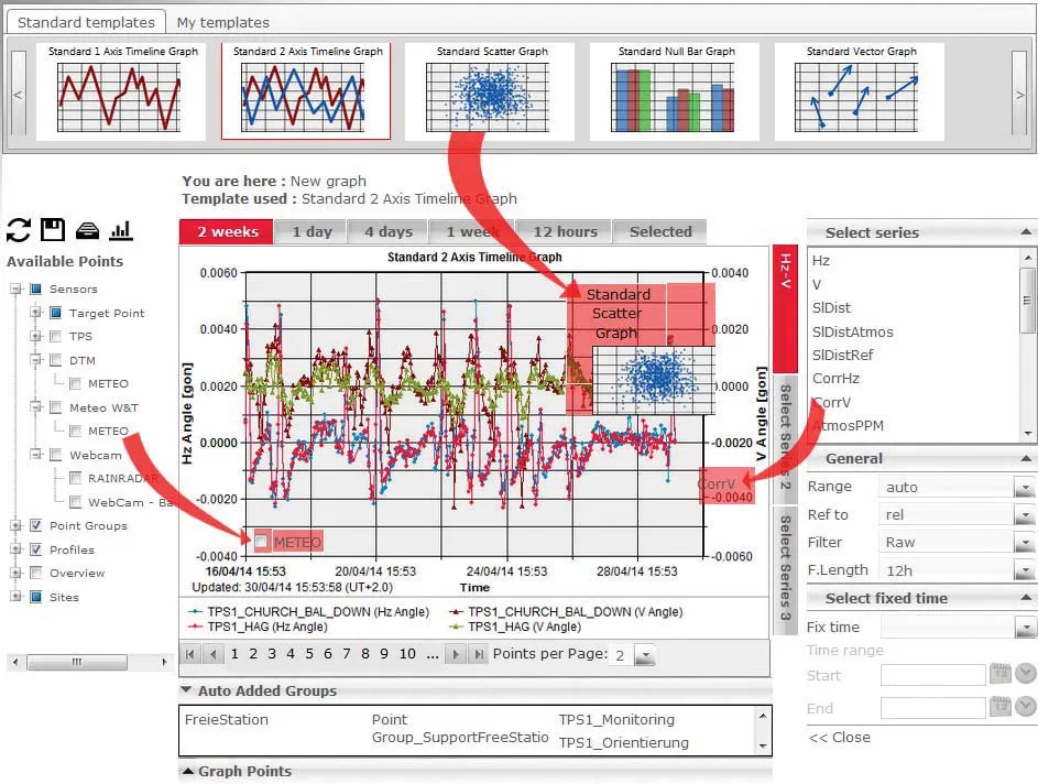
Highly sophisticated, the Leica GeoMoS Now! From Leica Geosystems is a new web-based application enables on-the-go visualisation and analysis of structural and ground movement monitoring data.
With this package, large quantities of geodetic and geotechnical data are said to be easier to handle with simplified workflows using automatic configuration and distribution tools. The package can quickly notify users of any changes in data for faster, more informed responses.
Leica GeoMoS Now! allows users t