Kristina's World of Concrete Part 2: TamiSoft by Autom'elec
January 6, 2017
Kristina takes a look at the TamiSoft machine which offers granular measurement of aggregate chunks. The system triangulates Laser beams reflected off the aggregate into a camera, which records up to 1000 measurements per second.
No video provider was found to handle the given URL. See the documentation for more information.
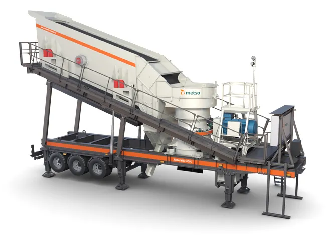
Metso is introducing new higher capacity models to its popular wheel-mounted Metso NW Rapid series. In addition to the bigger jaw crusher model, the NW Rapid units are now also available with a variety of most robust cone crushers, including the first model with the MX crusher. Easily transportable using standard prime movers, over 1,000 NW Rapid models have already been sold.
Planning a crushing and screening process can typically take months. Additionally, it's often difficult for aggregates producers
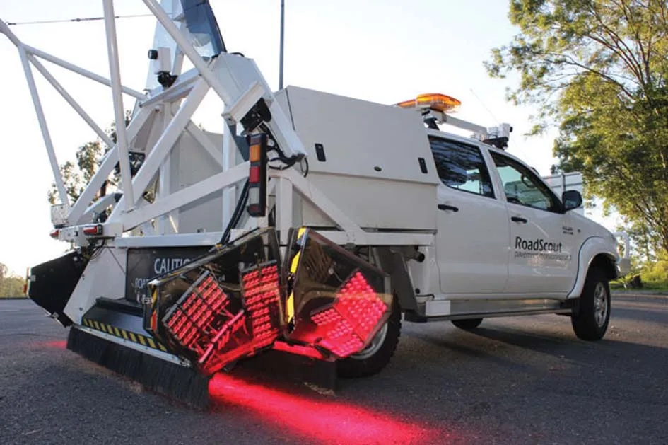
Radar Portal Systems (RPS) has spent a lot of time developing its sophisticated pavement top-surface photometric imaging system so it can cater specifically for the aviation market. This has now been specially developed for use on aircraft runways and taxiways The system was recently used at Brisbane Airport to survey runway and runway shoulders, collecting photometric top-surface data at a 4m width at speeds of up to 100km/h. This dataset allows the firm to display meshing data of the runway surface showin
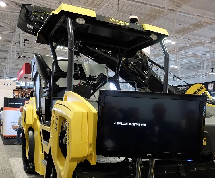
Major manufacturers are offering a range of new compaction machines and technology to the market. Mike Woof reports from the recent World of Asphalt event in Nashville, Tennessee.
Topcon says that its new IP-S2 package combines GNNS positioning capabilities with inertial sensors, while the firm also has a solution for customers wanting to mix and match receiver components. The IP-S2 is a vehicle-mounted, mobile 3D tool that offers precision mapping and surveying capabilities. The package collects data using 3D laser scanners, LIDAR, and/or cameras, and this is then integrated, time-stamped and geo-referenced. The customer can use this assembled data to combine LIDAR point cloud and d