
Vivacity to capture cycling data

Vivacity Labs has partnered with the London boroughs of Sutton and Kingston to review and monitor the use of cycle routes
October 5, 2021 Read time: 1 min
Vivacity Labs will use sensors to monitor cycle lane use

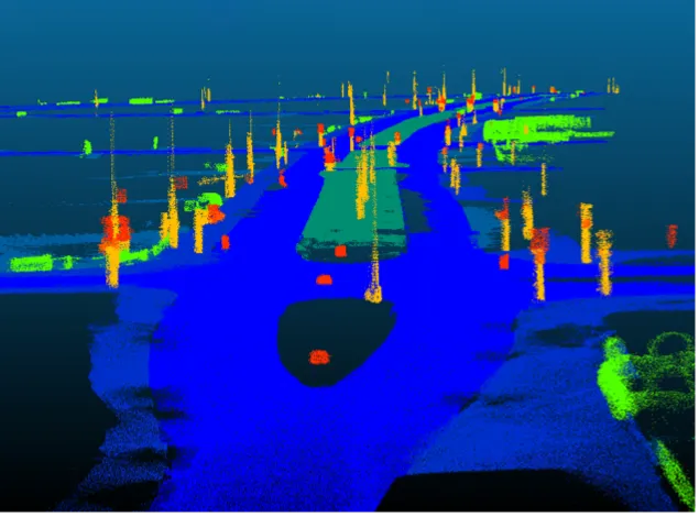
The councils will use Vivacity’s artificial intelligence and Internet of Things (IoT) technology to provide anonymous data on different transport modes and movement patterns.

Sensors will be deployed to gather more information about each borough’s cycle infrastructure, including the number of cyclists using the cycle lanes and main roads as well as the number of unauthorised vehicles illegally using the spaces.

Vivacity says this will help the councils to consider the areas to be included within expansion of cycle route networks and the type of infrastructure needed to aid the users.

In Sutton, 13 sites will have sensors and 17 sites have been identified in Kingston, with both councils including town centre locations.

The councils are carrying out the project as part of the South London Partnership, an initiative that seeks to deliver an IoT platform that will connect various sensors across borough boundaries.

For more information on companies in this article

Related Content

  • Don't miss the Intelligent Infrastructure Award at Highways UK
    August 10, 2016
    The deadline is fast approaching to submit a product for consideration in the Intelligent Infrastructure Hub at the Highways UK event in November. Highways UK is for people and organisations involved in - and passionate about - the planning, development, management and maintenance of the UK's roads. Last year the event, held in London, attracted 1,500 delegates. This year’s event from 16-17 November at the NEC in Birmingham is expected to have 2,500 attendees. An important part of Highways UK's remit
  • Current technologies could eliminate 90 per cent of traffic accidents
    April 27, 2012
    Nearly every traffic accident caused by driver error – up to 90 per cent of all crashes – could be eliminated if existing intelligent transportation technologies were implemented in vehicles and on roads, say experts at IEEE, the world's largest technical professional association. These include electronics and computing technologies such as in-vehicle machine vision and sensors to detect drowsy drivers, lane departure warning systems, and vehicle-to-vehicle and vehicle-to-infrastructure communications for s
  • Digital roads of the future – we are there!
    November 20, 2023
    Digital Roads of the Future is an initiative gathering researchers at the University of Cambridge to further the digital transformation of the UK road sector, reports *Nevena Vajdic.
  • Bluesky Aerial Mapping sees the trees and not the forest
    February 6, 2017
    Scientists at the University of Lancaster in England are using 3D data produced by Bluesky to refine a tree failure-risk model Pinpointing trees that might collapse onto roads and other infrastructure currently uses complex wind analysis techniques to assign a level of risk to individual trees. The data is Bluesky’s UK National Tree Map, laser mapped 3D height models, colour infrared (CIR) data and soil data. It will help identify individual trees and their proximity to roads as well as electricity insta