Vivacity to capture cycling data

Vivacity Labs has partnered with the London boroughs of Sutton and Kingston to review and monitor the use of cycle routes
October 5, 2021 Read time: 1 min
Vivacity Labs will use sensors to monitor cycle lane use

The councils will use Vivacity’s artificial intelligence and Internet of Things (IoT) technology to provide anonymous data on different transport modes and movement patterns.

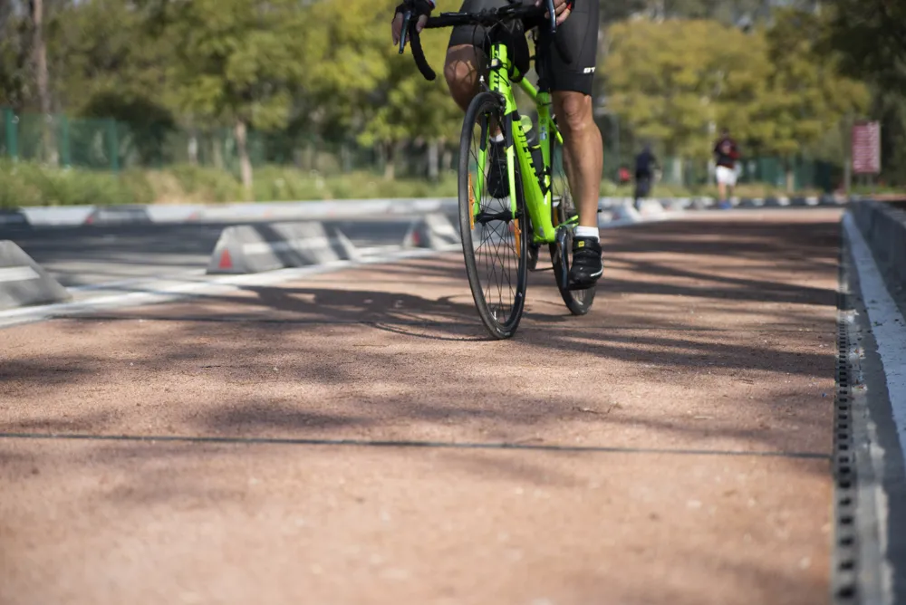
Sensors will be deployed to gather more information about each borough’s cycle infrastructure, including the number of cyclists using the cycle lanes and main roads as well as the number of unauthorised vehicles illegally using the spaces.

Vivacity says this will help the councils to consider the areas to be included within expansion of cycle route networks and the type of infrastructure needed to aid the users.

In Sutton, 13 sites will have sensors and 17 sites have been identified in Kingston, with both councils including town centre locations.

The councils are carrying out the project as part of the South London Partnership, an initiative that seeks to deliver an IoT platform that will connect various sensors across borough boundaries.

For more information on companies in this article

Related Content

  • Why Hitachi rental electric excavators are a perfect fit
    July 1, 2025
    When Jurgen van Uijthoven needed an electric excavator for a short-term project, he knew exactly who to ask. The long-standing customer of Hitachi Construction Machinery sub-dealer Pellen BV found an ideal solution to win the tender and complete the work.
  • Innovative GIS advances from Bluesky
    July 18, 2012
    Aerial survey specialist Bluesky is funding research into the development and use of a new system to map the UK’s cities and towns at night. Bluesky has teamed up with the University of Leicester to look at solutions using new high sensitivity camera sensor technology. Mounted on survey aircraft, the new system can record the location of street lights, illuminated road signs and other night-time sources of light. This can deliver an accurate resource for asset inventories, light pollution assessment and ene
  • Proper GPR Surveying Techniques
    May 10, 2019
    A sustainably good road surface often depends on how well understood is the ground underneath the road’s route. Brian Jones* offers some best practice and advice for getting the most from ground-penetrating radar investigations Ground-penetrating radar (GPR) is one of the most accurate non-destructive testing (NDT) methods available. To get the most from GPR surveying, it is absolutely essential to understand how GPR tools work and follow best practices when conducting surveys. Key areas to be aware o
  • New technology solutions
    April 30, 2024
    Construction machinery manufacturers are introducing new systems that can boost machine efficiency and site safety – Mike Woof writes