Improved detection of buried objects can be achieved with the latest RD7000+ utility cable and pipe locator range from Radiodetection.
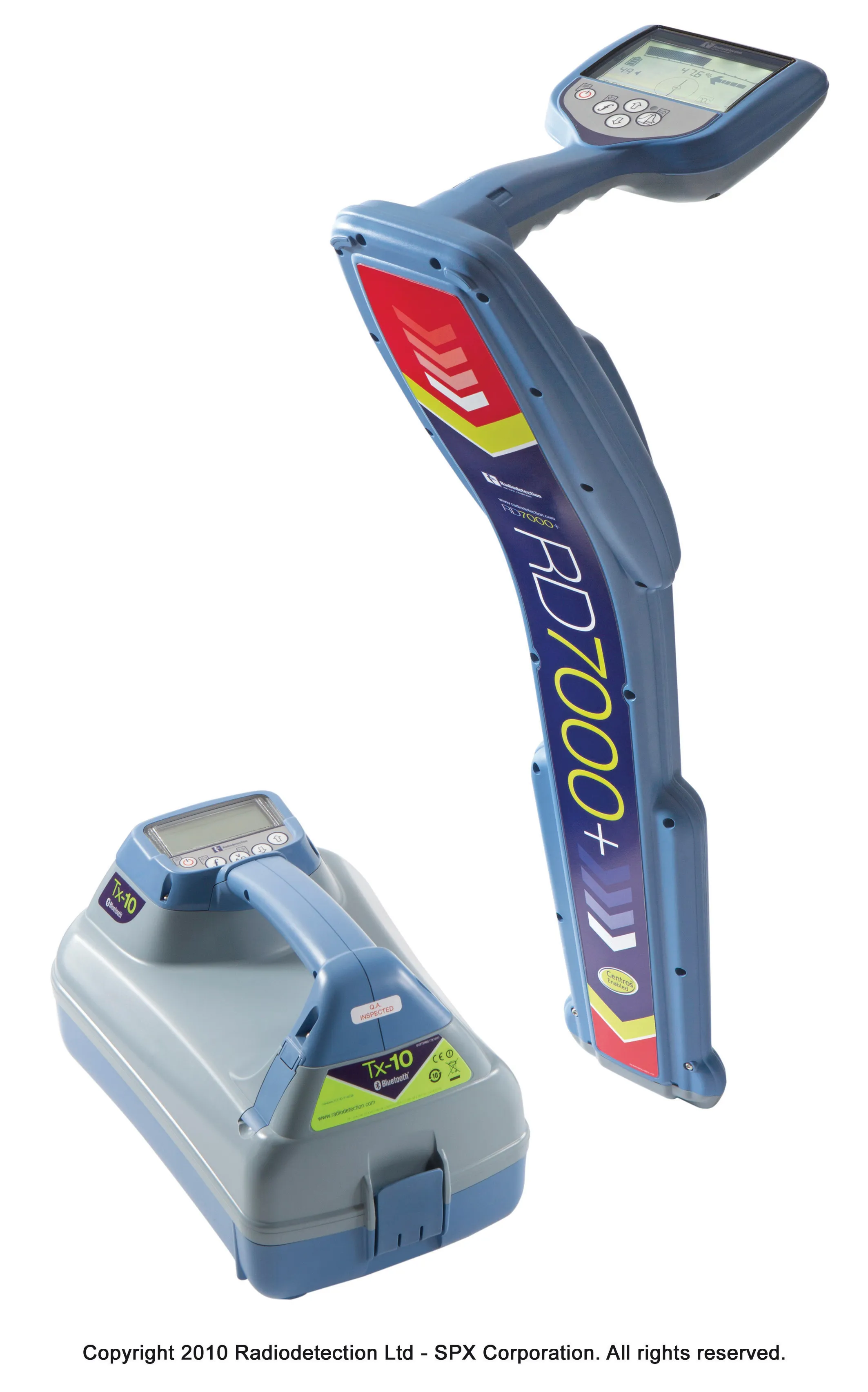
Improved detection of buried objects can be achieved with the latest RD7000+ utility cable and pipe locator range from 2537 Radiodetection. The units feature compass and dynamic overload protection and are said to be ergonomic in design and user-friendly. The dynamic overload protection system improves location performance in electrically noisy areas while the compass package determines the orientation of a target cable or pipe, simplifying route determination and helps to improve depth measurement accuracy. The RD7000+ range comprises four locators, with the RD7000SL+ featuring standard active frequencies and rugged design, suiting it particularly to use in the construction industry. All the RD7000+ units are Centros and this measurement engine is based on over 30 years of development, combining new and innovative algorithms with established software on a high-performance processor core. The units also feature Radiodetection's eCAL package, which allows users to validate the original factory calibration of their RD7000+ locator.