Trimble’s new georeferencing package

Trimble company Applanix is now offering the POSPac MMS 8 package, an advanced GNSSaided inertial post-processing software for georeferencing data. This information can be collected from cameras, LIDARs, multibeam sonars and other sensors on mobile platforms. Using the Trimble CenterPoint RTX subscription service with the RTX technology, POSPac MMS 8 is said to offer new capabilities for mobile mapping from land, air, marine and UAV platforms. It can offer centimetre-level accuracy within one hour aft
March 13, 2017 Read time: 2 mins
2122 Trimble company Applanix is now offering the POSPac MMS 8 package, an advanced GNSSaided inertial post-processing software for georeferencing data. This information can be collected from cameras, LIDARs, multibeam sonars and other sensors on mobile platforms.

Using the Trimble CenterPoint RTX subscription service with the RTX technology, POSPac MMS 8 is said to offer new capabilities for mobile mapping from land, air, marine and UAV platforms.

It can offer centimetre-level accuracy within one hour after data collection with just an internet connection. The firm says it can be used to map inaccessible regions that have no existing continuously operational reference stations (CORS) without the cost of deploying local base stations. It can also provide reliable uptime using Trimble’s professionally managed, highly maintained private network and automatically survey in dedicated base stations direct from POSPac: streamline map production work_ ow.

A key advance is the integration of the Trimble RTX technology into POSPac MMS. The package also includes several new features such as a tool to avoid reworking with separate QC software that can be commuted to the field for running quality control on the GNSS observations to ensure accurate specifications can be met before leaving the project area.

For more information on companies in this article

Related Content

  • Trimble’s VisionLink helps contractors view all their equipment
    January 6, 2017
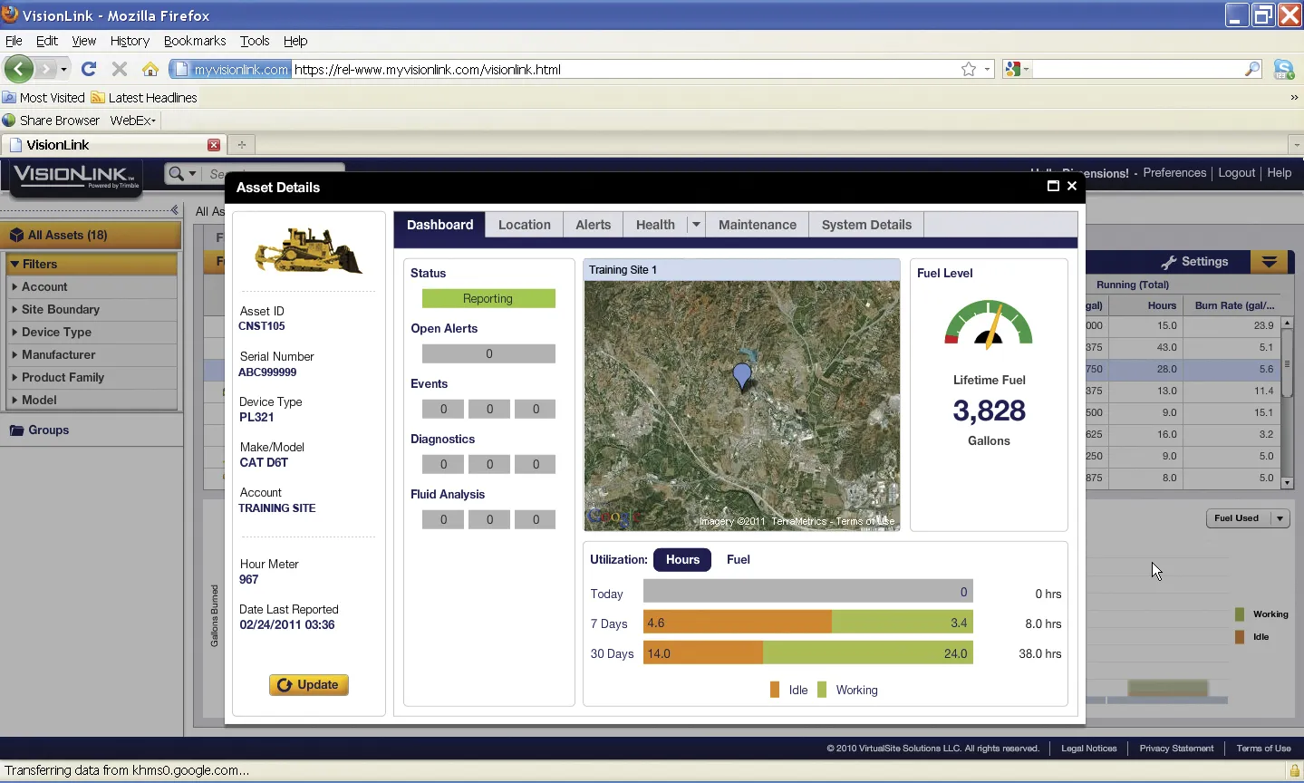
    Trimble’s VisionLink, demonstrated at ConExpo 2014, shows how centralising and simplifying the management of on-site operations maximises efficiency, raises productivity and lowers costs for equipment fleets. The web-based application allows contractors to quickly and easily view all their equipment, regardless of make, in a secure, web-based application. Trimble says that VisionLink integrates site productivity, material quantities, and materials movement with asset and fleet management to give a holisti
  • Trimble’s VisionLink helps contractors view all their equipment
    January 23, 2014
    Trimble’s VisionLink, demonstrated at ConExpo 2014, shows how centralising and simplifying the management of on-site operations maximises efficiency, raises productivity and lowers costs for equipment fleets. The web-based application allows contractors to quickly and easily view all their equipment, regardless of make, in a secure, web-based application. Trimble says that VisionLink integrates site productivity, material quantities, and materials movement with asset and fleet management to give a holisti
  • Bentley’s OpenRoads Designer CONNECT Edition Advances Roadway Projects
    November 15, 2016
    OpenRoads’ Comprehensive Modeling Environment Leverages BIM Advancements to Empower Project Delivery LONDON – The Year in Infrastructure 2016 Conference – 1 November 2016 – Bentley Systems, Incorporated, a leading global provider of comprehensive software solutions for advancing infrastructure, today announced that OpenRoads Designer CONNECT Edition will be available for Early Access on December 1, 2016.
  • Springtime for the use of analytics
    January 20, 2021
    Winter road maintenance can be made more efficient and effective through the use of big data and analytics, says Samu Karanko, head of science for Vaisala Digital in Europe.