Trimble’s new georeferencing package

Trimble company Applanix is now offering the POSPac MMS 8 package, an advanced GNSSaided inertial post-processing software for georeferencing data. This information can be collected from cameras, LIDARs, multibeam sonars and other sensors on mobile platforms. Using the Trimble CenterPoint RTX subscription service with the RTX technology, POSPac MMS 8 is said to offer new capabilities for mobile mapping from land, air, marine and UAV platforms. It can offer centimetre-level accuracy within one hour aft
March 13, 2017 Read time: 2 mins
2122 Trimble company Applanix is now offering the POSPac MMS 8 package, an advanced GNSSaided inertial post-processing software for georeferencing data. This information can be collected from cameras, LIDARs, multibeam sonars and other sensors on mobile platforms.

Using the Trimble CenterPoint RTX subscription service with the RTX technology, POSPac MMS 8 is said to offer new capabilities for mobile mapping from land, air, marine and UAV platforms.

It can offer centimetre-level accuracy within one hour after data collection with just an internet connection. The firm says it can be used to map inaccessible regions that have no existing continuously operational reference stations (CORS) without the cost of deploying local base stations. It can also provide reliable uptime using Trimble’s professionally managed, highly maintained private network and automatically survey in dedicated base stations direct from POSPac: streamline map production work_ ow.

A key advance is the integration of the Trimble RTX technology into POSPac MMS. The package also includes several new features such as a tool to avoid reworking with separate QC software that can be commuted to the field for running quality control on the GNSS observations to ensure accurate specifications can be met before leaving the project area.

For more information on companies in this article

Related Content

  • Accurate positioning with Leica Geosystems
    June 19, 2017
    The new Zeno GG04 smart antenna from Leica Geosystems is said to increase access to GIS and boost tracking performance. This is said to deliver a versatile solution that can improve the accuracy of GNSS mobile devices with real-time Kinematic (RTK) and precise point positioning (PPP). Paired with the Zeno GG04, any Zeno or third party mobile device with Android or Windows OS can now collect precise positioning data with Leica Geosystems’ GNSS technology and 555-channel tracking performance. With PPP, users
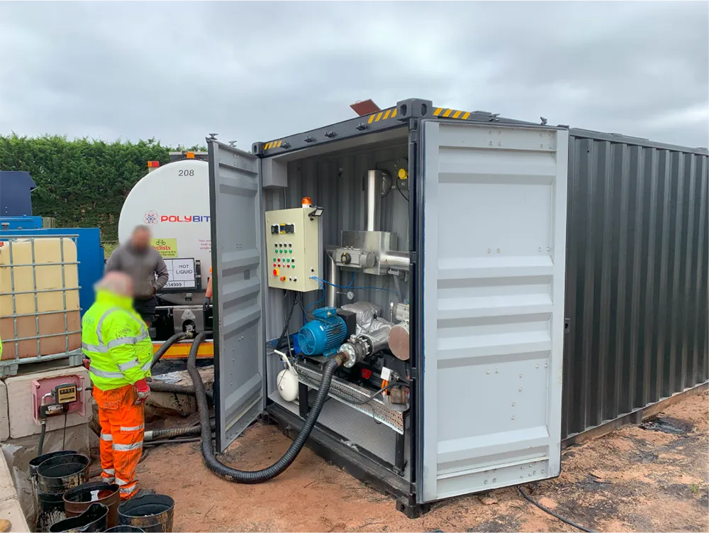
  • Optimising Specialist Bitumen Handling with the MEST Bitutainer™
    June 1, 2025

    As roads become more advanced and surface performance expectations rise, traditional hot bitumen is no longer the only material in demand. Across the globe, highways projects are increasingly relying on high-performance binders, from polymer-modified bitumen (PMBs) to specialist emulsions and tack coats designed for specific temperature conditions or traffic volumes.

  • Trimble calls for Dimensions 2014 user conference speakers
    June 12, 2014
    Trimble is now accepting speaker candidates for the Trimble Dimensions 2014 International User Conference.
  • Mapping improvements
    February 13, 2012
    Trimble says that its Construction Manager version 2.5 package offers polygon site management and better support for CAD map overlays, using imagery provided by Google Maps. This advanced remote construction asset management solution combines GPS technology with wireless communication and Internet capabilities. The package can supply quantitative information to analyse and improve asset productivity, saving time and cutting construction project costs. The software features interpret charts, reports, and das