Trimble’s new georeferencing package

Trimble company Applanix is now offering the POSPac MMS 8 package, an advanced GNSSaided inertial post-processing software for georeferencing data. This information can be collected from cameras, LIDARs, multibeam sonars and other sensors on mobile platforms. Using the Trimble CenterPoint RTX subscription service with the RTX technology, POSPac MMS 8 is said to offer new capabilities for mobile mapping from land, air, marine and UAV platforms. It can offer centimetre-level accuracy within one hour aft
March 13, 2017 Read time: 2 mins
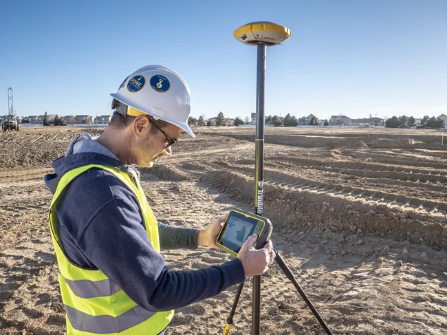
2122 Trimble company Applanix is now offering the POSPac MMS 8 package, an advanced GNSSaided inertial post-processing software for georeferencing data. This information can be collected from cameras, LIDARs, multibeam sonars and other sensors on mobile platforms.

Using the Trimble CenterPoint RTX subscription service with the RTX technology, POSPac MMS 8 is said to offer new capabilities for mobile mapping from land, air, marine and UAV platforms.

It can offer centimetre-level accuracy within one hour after data collection with just an internet connection. The firm says it can be used to map inaccessible regions that have no existing continuously operational reference stations (CORS) without the cost of deploying local base stations. It can also provide reliable uptime using Trimble’s professionally managed, highly maintained private network and automatically survey in dedicated base stations direct from POSPac: streamline map production work_ ow.

A key advance is the integration of the Trimble RTX technology into POSPac MMS. The package also includes several new features such as a tool to avoid reworking with separate QC software that can be commuted to the field for running quality control on the GNSS observations to ensure accurate specifications can be met before leaving the project area.

For more information on companies in this article

Related Content

  • Securing safer transportation infrastructure through non-destructive technology
    June 16, 2014
    Kevin Vine reports on the use of non-destructive testing for structural analysis of bridges Seven years ago, the overpass collapse in Laval, Québec that led to the death of five people brought to light severe issues with the state of the country’s bridges and transportation infrastructure. More recently, a crack in the Champlain Bridge to Montreal that forced over 160,000 commuters to find alternate routes to work reaffirmed a need for greater emphasis on early detection before a crisis occurs.
  • Piling rig control system from Trimble 
    October 27, 2022
    Trimble is offering machine control options for piling and drilling machines from ABI Maschinenfabrik und Vertriebsgesellschaft as well as Junttan.
  • Asecap Days – Istanbul 2023
    February 16, 2024
    The “vast lakes of data” collected daily by global highway operators are going to waste meaning opportunities to improve services and boost revenue are continually lost. This must change, reports Geoff Hadwick from the ASECAP Days 2023 conference in Istanbul.
  • Trimble's ruggedised tablet for site use
    May 15, 2019
    Trimble is now offering its T7 Tablet, a rugged, lightweight and versatile device for construction surveying applications. The unit features the Trimble Siteworks Software for construction surveying, allowing it to provide real-time data to visualise cut/fill levels, calculate material volumes, check grade and communicate work orders. This can allow users to to improve productivity and decision-making. Scott Crozier, general manager for Trimble’s Civil Engineering and Construction Division said, “Surveyors