Trimble’s new georeferencing package

Trimble company Applanix is now offering the POSPac MMS 8 package, an advanced GNSSaided inertial post-processing software for georeferencing data. This information can be collected from cameras, LIDARs, multibeam sonars and other sensors on mobile platforms. Using the Trimble CenterPoint RTX subscription service with the RTX technology, POSPac MMS 8 is said to offer new capabilities for mobile mapping from land, air, marine and UAV platforms. It can offer centimetre-level accuracy within one hour aft
March 13, 2017 Read time: 2 mins
2122 Trimble company Applanix is now offering the POSPac MMS 8 package, an advanced GNSSaided inertial post-processing software for georeferencing data. This information can be collected from cameras, LIDARs, multibeam sonars and other sensors on mobile platforms.

Using the Trimble CenterPoint RTX subscription service with the RTX technology, POSPac MMS 8 is said to offer new capabilities for mobile mapping from land, air, marine and UAV platforms.

It can offer centimetre-level accuracy within one hour after data collection with just an internet connection. The firm says it can be used to map inaccessible regions that have no existing continuously operational reference stations (CORS) without the cost of deploying local base stations. It can also provide reliable uptime using Trimble’s professionally managed, highly maintained private network and automatically survey in dedicated base stations direct from POSPac: streamline map production work_ ow.

A key advance is the integration of the Trimble RTX technology into POSPac MMS. The package also includes several new features such as a tool to avoid reworking with separate QC software that can be commuted to the field for running quality control on the GNSS observations to ensure accurate specifications can be met before leaving the project area.

For more information on companies in this article

Related Content

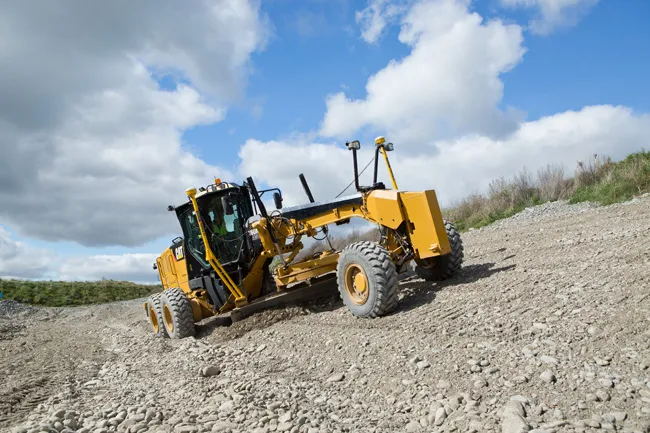
  • Improved grader efficiency with Trimble technology
    December 10, 2018
    The introduction of the Earthworks for Motor Graders package offers a GNSS-based, 3D grade control system that makes fine grading more accurate, faster and easier. This utilises the same hardware as the firm’s existing excavator and dozer packages, with IMU units featuring inertial measurement technology fitted to key moving components on the machine. These provide three axis tracking of operations Scott Crozier, general manager for Trimble's Civil Engineering and Construction Division said, “It’s the thir
  • Reality check: Topcon’s Aptix
    July 20, 2023
    The biggest challenge facing construction professionals and general contractors is disconnected data and/or siloed data sources. The recently launched Aptix integration platform has broken down these silos, explains Topcon’s Scott Langbein.
  • Compact machine control package from trimble
    December 10, 2018
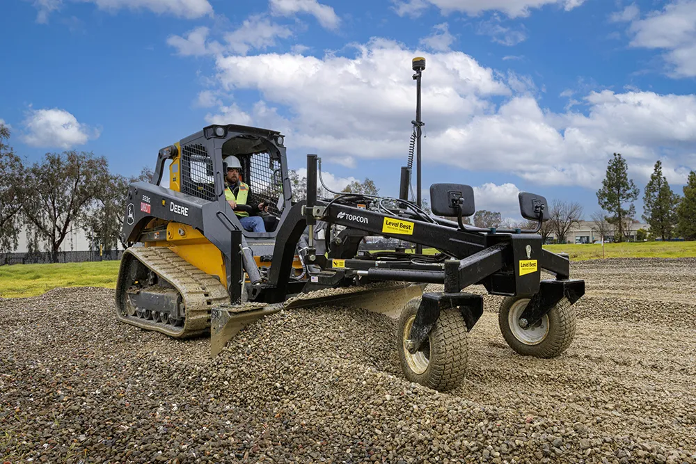
    Trimble is introducing the Earthworks GO! package, aimed at use with compact machines. This is a significant development as it will allow users of small machines access to machine control systems, improving productivity and work quality. The firm says that its Earthworks GO! offering allows users to deliver accurate grading with a simple, portable package. This compact machine control solution runs on Android or iOS smartphones. Scott Crozier is general manager of Trimble’s general construction division. H
  • Rugged controller for site use
    June 25, 2021
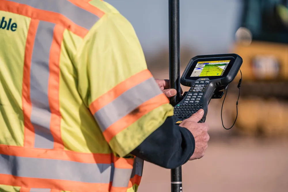
    Trimble is now offering its TSC5 Controller, a rugged and lightweight field controller for civil construction surveyors.