Trimble’s new georeferencing package

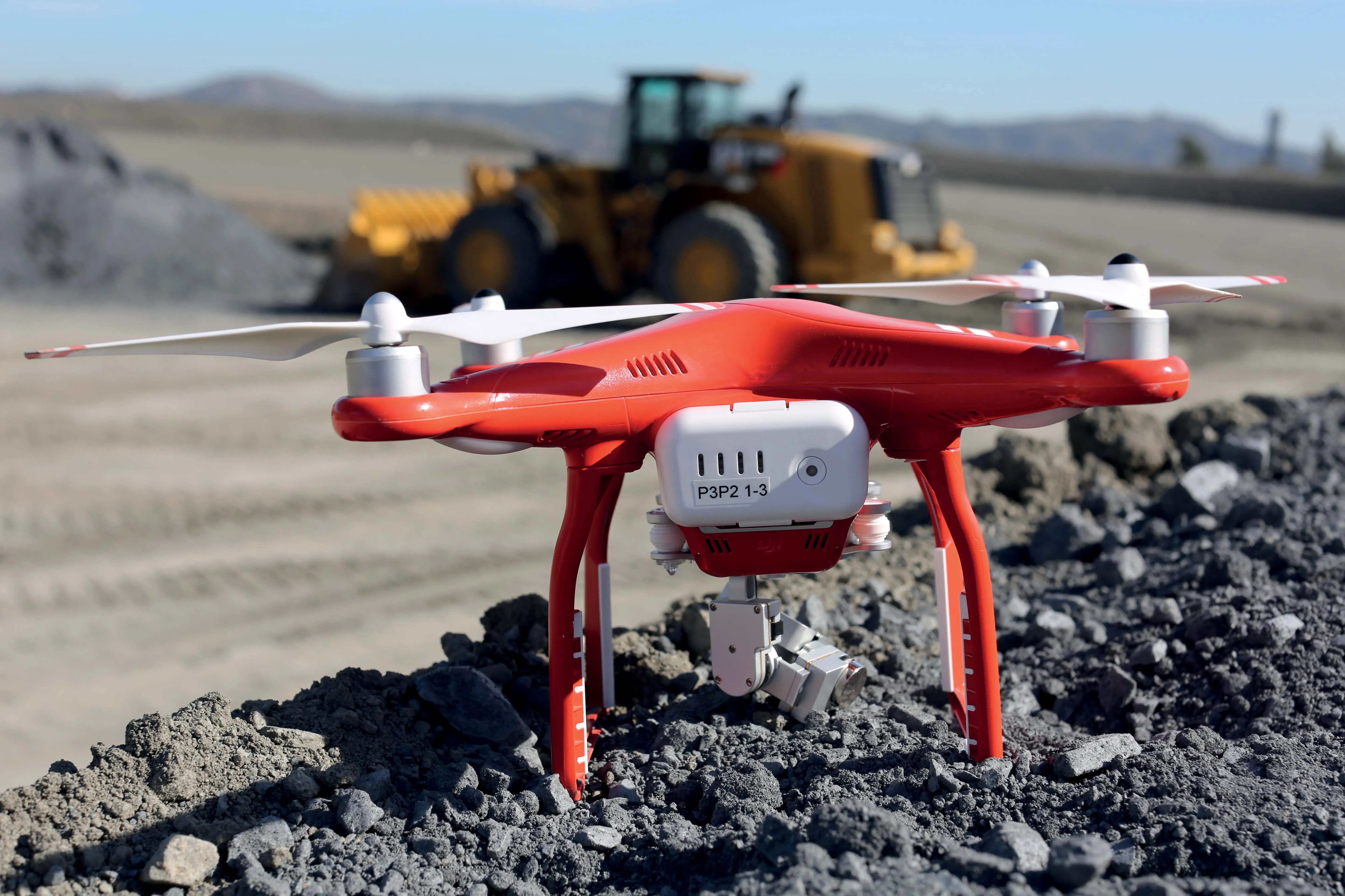
Trimble company Applanix is now offering the POSPac MMS 8 package, an advanced GNSSaided inertial post-processing software for georeferencing data. This information can be collected from cameras, LIDARs, multibeam sonars and other sensors on mobile platforms. Using the Trimble CenterPoint RTX subscription service with the RTX technology, POSPac MMS 8 is said to offer new capabilities for mobile mapping from land, air, marine and UAV platforms. It can offer centimetre-level accuracy within one hour aft
March 13, 2017 Read time: 2 mins
2122 Trimble company Applanix is now offering the POSPac MMS 8 package, an advanced GNSSaided inertial post-processing software for georeferencing data. This information can be collected from cameras, LIDARs, multibeam sonars and other sensors on mobile platforms.

Using the Trimble CenterPoint RTX subscription service with the RTX technology, POSPac MMS 8 is said to offer new capabilities for mobile mapping from land, air, marine and UAV platforms.

It can offer centimetre-level accuracy within one hour after data collection with just an internet connection. The firm says it can be used to map inaccessible regions that have no existing continuously operational reference stations (CORS) without the cost of deploying local base stations. It can also provide reliable uptime using Trimble’s professionally managed, highly maintained private network and automatically survey in dedicated base stations direct from POSPac: streamline map production work_ ow.

A key advance is the integration of the Trimble RTX technology into POSPac MMS. The package also includes several new features such as a tool to avoid reworking with separate QC software that can be commuted to the field for running quality control on the GNSS observations to ensure accurate specifications can be met before leaving the project area.

For more information on companies in this article

Related Content

  • Caterpillar has a Vision that includes total project site overview
    April 5, 2016
    Caterpillar may be on its financial back foot, but a recent event showed the company has a vision far beyond this or the next financial year – David Arminas reports. Many construction machinery manufacturers have some data collection and analysis systems for their heavy equipment. For a good decade, manufacturers have been moving in this direction, first as retrofit packages on machines in the field and increasingly as standard on newer models. Caterpillar is no exception among manufacturers that are movin
  • New tests, new technology, new users: why materials testing is a growing market
    February 7, 2017
    A look back at some of the developments this year, and a look ahead to what may come next reveals the increasing use of materials testing. New technology and new ways to process and analyse data will drive change even further - Kristina Smith reports For materials testing equipment manufacturers, constant change is business as usual. New tests emerge, new standards are written and new practices spread around regions and the world. There are also new materials to deal with: bitumen modified with polymers
  • Optimising traffic control ensures efficient use of infrastructure
    April 10, 2013
    Central and local governments are facing many challenges, not least a shortage of funds due to budget restraints in the US and Europe in particular. In other markets, ensuring efficient traffic flow is the priority, with monitoring of network status being a key tool. New technology for traffic monitoring plays a crucial role and the sector is keen to introduce new and more efficient systems. The Transport Research laboratory (TRL) has long been a pioneer of traffic control technologies and its latest MAAPc
  • Supergeo offers GIS training tool
    April 27, 2015
    Supergeo Technologies says that its latest packages offer effective training for both GIS users and non-GIS professionals, as well as new tools for sharing geospatial data. The training offering comes in the shape of free online courses with extensive learning materials. The firm says that it is a leader in the field with its state-of-the-art GIS technology and is able to assist personnel from various industries to address different tasks with spatial information. A comprehensive series of online course