Trimble’s new georeferencing package

Trimble company Applanix is now offering the POSPac MMS 8 package, an advanced GNSSaided inertial post-processing software for georeferencing data. This information can be collected from cameras, LIDARs, multibeam sonars and other sensors on mobile platforms. Using the Trimble CenterPoint RTX subscription service with the RTX technology, POSPac MMS 8 is said to offer new capabilities for mobile mapping from land, air, marine and UAV platforms. It can offer centimetre-level accuracy within one hour aft
March 13, 2017 Read time: 2 mins
2122 Trimble company Applanix is now offering the POSPac MMS 8 package, an advanced GNSSaided inertial post-processing software for georeferencing data. This information can be collected from cameras, LIDARs, multibeam sonars and other sensors on mobile platforms.

Using the Trimble CenterPoint RTX subscription service with the RTX technology, POSPac MMS 8 is said to offer new capabilities for mobile mapping from land, air, marine and UAV platforms.

It can offer centimetre-level accuracy within one hour after data collection with just an internet connection. The firm says it can be used to map inaccessible regions that have no existing continuously operational reference stations (CORS) without the cost of deploying local base stations. It can also provide reliable uptime using Trimble’s professionally managed, highly maintained private network and automatically survey in dedicated base stations direct from POSPac: streamline map production work_ ow.

A key advance is the integration of the Trimble RTX technology into POSPac MMS. The package also includes several new features such as a tool to avoid reworking with separate QC software that can be commuted to the field for running quality control on the GNSS observations to ensure accurate specifications can be met before leaving the project area.

For more information on companies in this article

Related Content

  • Earthmoving market introductions
    February 11, 2020
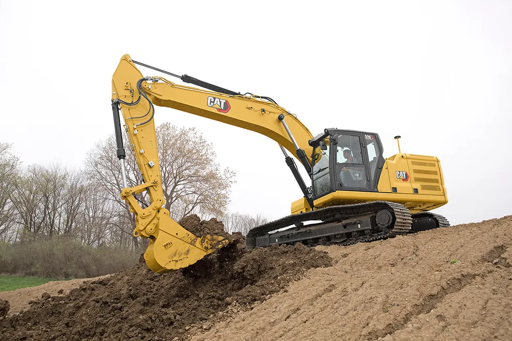
    Earthmoving innovations are coming to market in the shape of new excavators and wheeled loaders
  • New methods allow concrete testing on the spot
    July 20, 2015
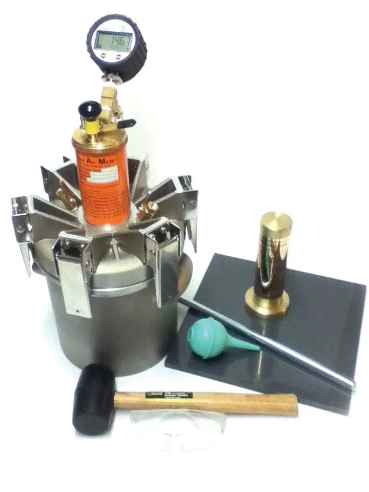
    This month we look at two new methods which are allowing concrete to be tested on the spot, and [over the page] we catch up on the latest news from concrete testing equipment suppliers - Kristina Smith writes Sometimes test results can be very bad news. If the concrete pavement or bridge abutment has already been poured, and if the concrete does not meet the specification, the outcome could be very expensive remedial work.
  • Current technologies could eliminate 90 per cent of traffic accidents
    April 27, 2012
    Nearly every traffic accident caused by driver error – up to 90 per cent of all crashes – could be eliminated if existing intelligent transportation technologies were implemented in vehicles and on roads, say experts at IEEE, the world's largest technical professional association. These include electronics and computing technologies such as in-vehicle machine vision and sensors to detect drowsy drivers, lane departure warning systems, and vehicle-to-vehicle and vehicle-to-infrastructure communications for s
  • Topcon’s LN-100 3D positioning system
    May 13, 2014
    Topcon Positioning Group says its new BIM solution - the LN-100 – is the world’s first 3D positioning system designed specifically for construction layout. Said to offer seamless integration and flow of project data from the design to the field, the LN-100 is simple to operate, removing “the intimidation factor and reducing the learning curve in performing construction layout tasks,” according to Eduardo Falcon, Topcon Positioning Group executive vice president and general manager for the GeoPositioning