Trimble’s new georeferencing package

Trimble company Applanix is now offering the POSPac MMS 8 package, an advanced GNSSaided inertial post-processing software for georeferencing data. This information can be collected from cameras, LIDARs, multibeam sonars and other sensors on mobile platforms. Using the Trimble CenterPoint RTX subscription service with the RTX technology, POSPac MMS 8 is said to offer new capabilities for mobile mapping from land, air, marine and UAV platforms. It can offer centimetre-level accuracy within one hour aft
March 13, 2017 Read time: 2 mins
2122 Trimble company Applanix is now offering the POSPac MMS 8 package, an advanced GNSSaided inertial post-processing software for georeferencing data. This information can be collected from cameras, LIDARs, multibeam sonars and other sensors on mobile platforms.

Using the Trimble CenterPoint RTX subscription service with the RTX technology, POSPac MMS 8 is said to offer new capabilities for mobile mapping from land, air, marine and UAV platforms.

It can offer centimetre-level accuracy within one hour after data collection with just an internet connection. The firm says it can be used to map inaccessible regions that have no existing continuously operational reference stations (CORS) without the cost of deploying local base stations. It can also provide reliable uptime using Trimble’s professionally managed, highly maintained private network and automatically survey in dedicated base stations direct from POSPac: streamline map production work_ ow.

A key advance is the integration of the Trimble RTX technology into POSPac MMS. The package also includes several new features such as a tool to avoid reworking with separate QC software that can be commuted to the field for running quality control on the GNSS observations to ensure accurate specifications can be met before leaving the project area.

For more information on companies in this article

Related Content

  • Photovoltaic finish to road noise pollution
    January 2, 2013
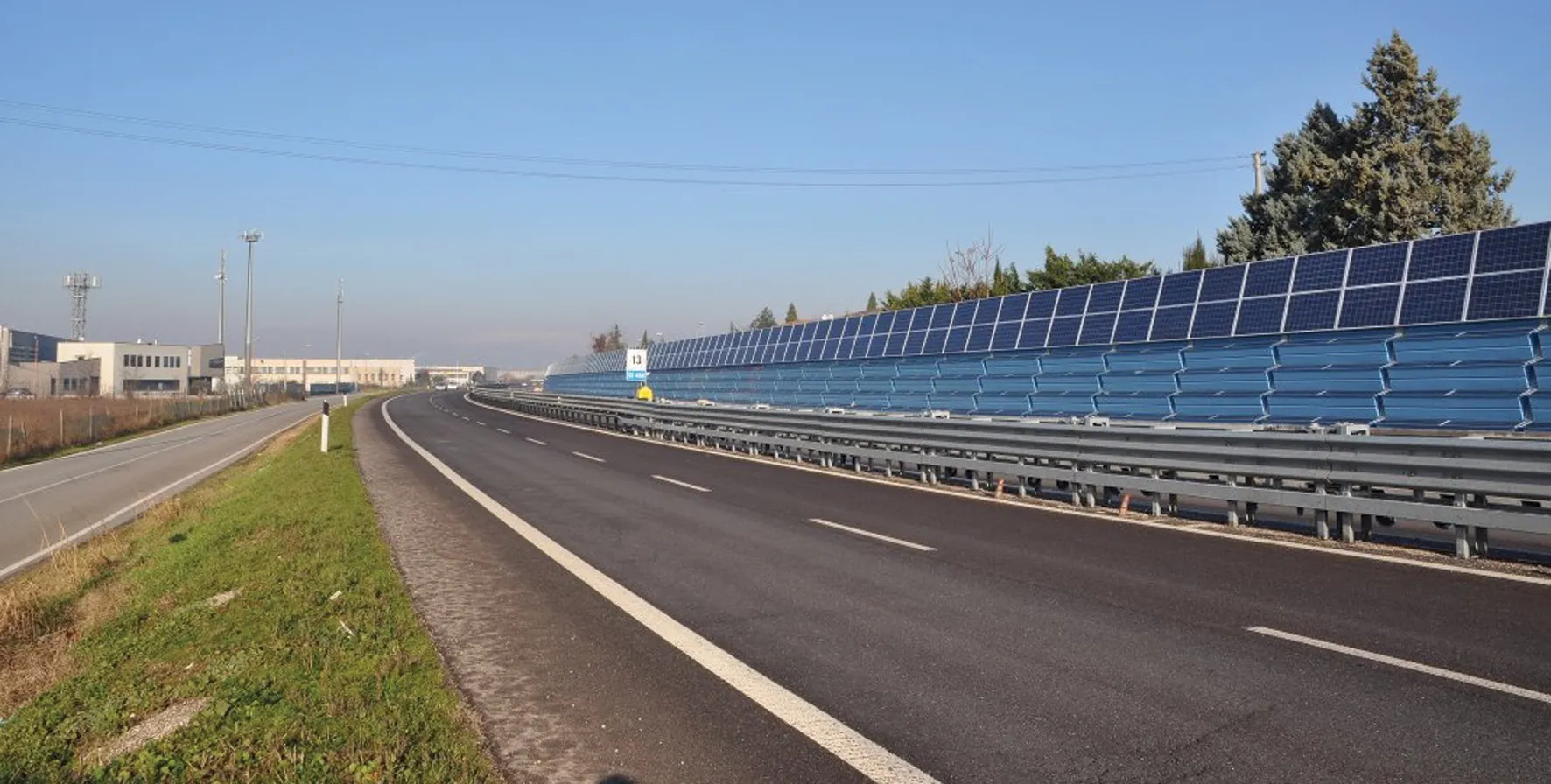
    Patrizia Bellucci from the Research and New Technologies Division of ANAS, in Rome introduces a sustainable approach to road noise abatement Traffic noise has been recognised by the World Health Organization as a major factor contributing to environmental pollution. Besides causing annoyance, it has significant negative health impacts on populations living close to road infrastructure. In 2002, to help counter this state of affairs, the European Parliament and Council adopted Directive 2002/49/EC relating t
  • Sandvik machines help improve quarry output in Thailand
    June 6, 2016
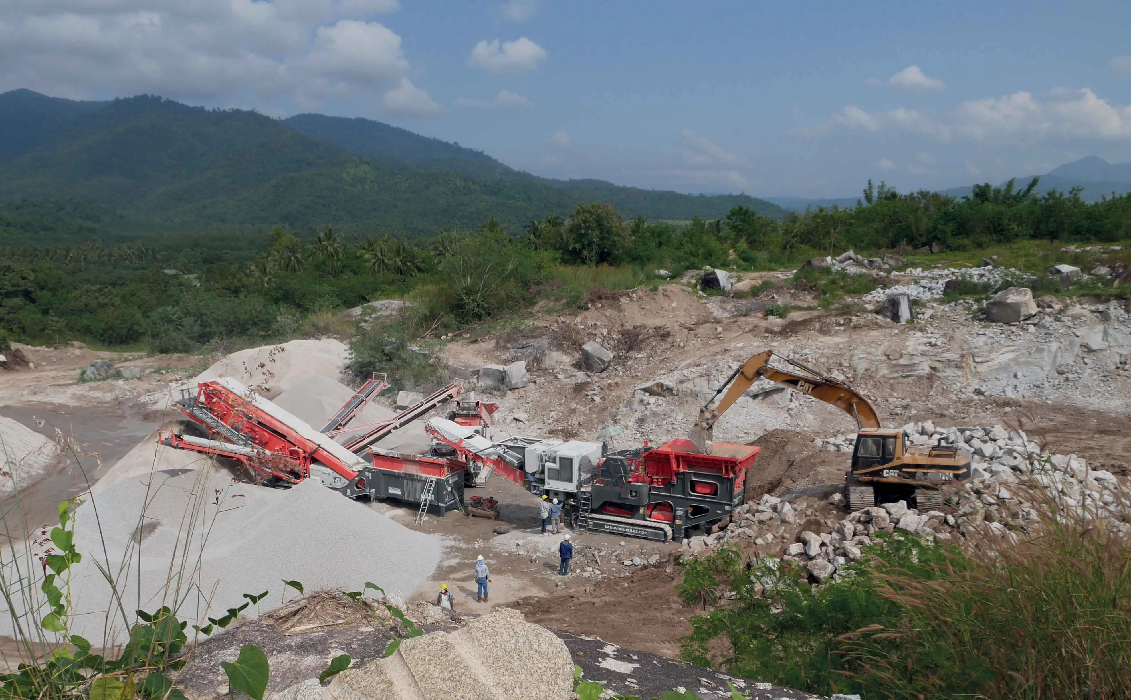
    The Prachuap Khiri Khan region of Thailand is well known for producing high quality aggregates, with four quarries and six concrete plants in operation. A key producer is Tabsakae Granite, which now operates a complete mobile crushing and screening plant. The Sandvik Construction QJ341 jaw crusher, QH331 Hydrocone crusher and a QA451 triple deck Doublescreen are now delivering high production of quality aggregates. Tabsakae Granite operates a quarry and a concrete plant in the Prachuap Khiri Khan region
  • The industry’s most trusted brand in continuing education
    September 4, 2019
    With the release of an update catalogue of training and credential programmes available to road professionals worldwide, IRF has affirmed its role at the road industry’s most trusted brand in continuing education. For 70 years, an essential part of IRF’s mission has been the organisation and delivery of continuing education services that help strengthen human skills and contribute to the dissemination of knowledge and field expertise. Today, IRF’s curriculum of 40 certified courses provides technica
  • Sophisticated deformation monitoring system from Topcon
    January 17, 2018
    Key upgrades are now available for the Delta Solutions deformation monitoring system from the Topcon Positioning Group. The improvements include software management upgrades and advanced modular configurations. The Delta Solutions package now benefits from new configuration choices employing either robotic total stations or GNSS with the ability to add leveling sensors.