Trimble’s new georeferencing package

Trimble company Applanix is now offering the POSPac MMS 8 package, an advanced GNSSaided inertial post-processing software for georeferencing data. This information can be collected from cameras, LIDARs, multibeam sonars and other sensors on mobile platforms. Using the Trimble CenterPoint RTX subscription service with the RTX technology, POSPac MMS 8 is said to offer new capabilities for mobile mapping from land, air, marine and UAV platforms. It can offer centimetre-level accuracy within one hour aft
March 13, 2017 Read time: 2 mins
2122 Trimble company Applanix is now offering the POSPac MMS 8 package, an advanced GNSSaided inertial post-processing software for georeferencing data. This information can be collected from cameras, LIDARs, multibeam sonars and other sensors on mobile platforms.

Using the Trimble CenterPoint RTX subscription service with the RTX technology, POSPac MMS 8 is said to offer new capabilities for mobile mapping from land, air, marine and UAV platforms.

It can offer centimetre-level accuracy within one hour after data collection with just an internet connection. The firm says it can be used to map inaccessible regions that have no existing continuously operational reference stations (CORS) without the cost of deploying local base stations. It can also provide reliable uptime using Trimble’s professionally managed, highly maintained private network and automatically survey in dedicated base stations direct from POSPac: streamline map production work_ ow.

A key advance is the integration of the Trimble RTX technology into POSPac MMS. The package also includes several new features such as a tool to avoid reworking with separate QC software that can be commuted to the field for running quality control on the GNSS observations to ensure accurate specifications can be met before leaving the project area.

For more information on companies in this article

Related Content

  • Geotechnical tool from Trimble and GroundProbe
    May 13, 2025

    Trimble and GroundProbe are introducing a new tool that will enable geotechnical customers to purchase a comprehensive slope stability monitoring portfolio from a single point of contact. GroundProbe customers can also purchase Trimble monitoring solutions to complement GroundProbe's range of sensors and software.

  • Concrete paving a smoother surface using machine control technology
    May 17, 2017
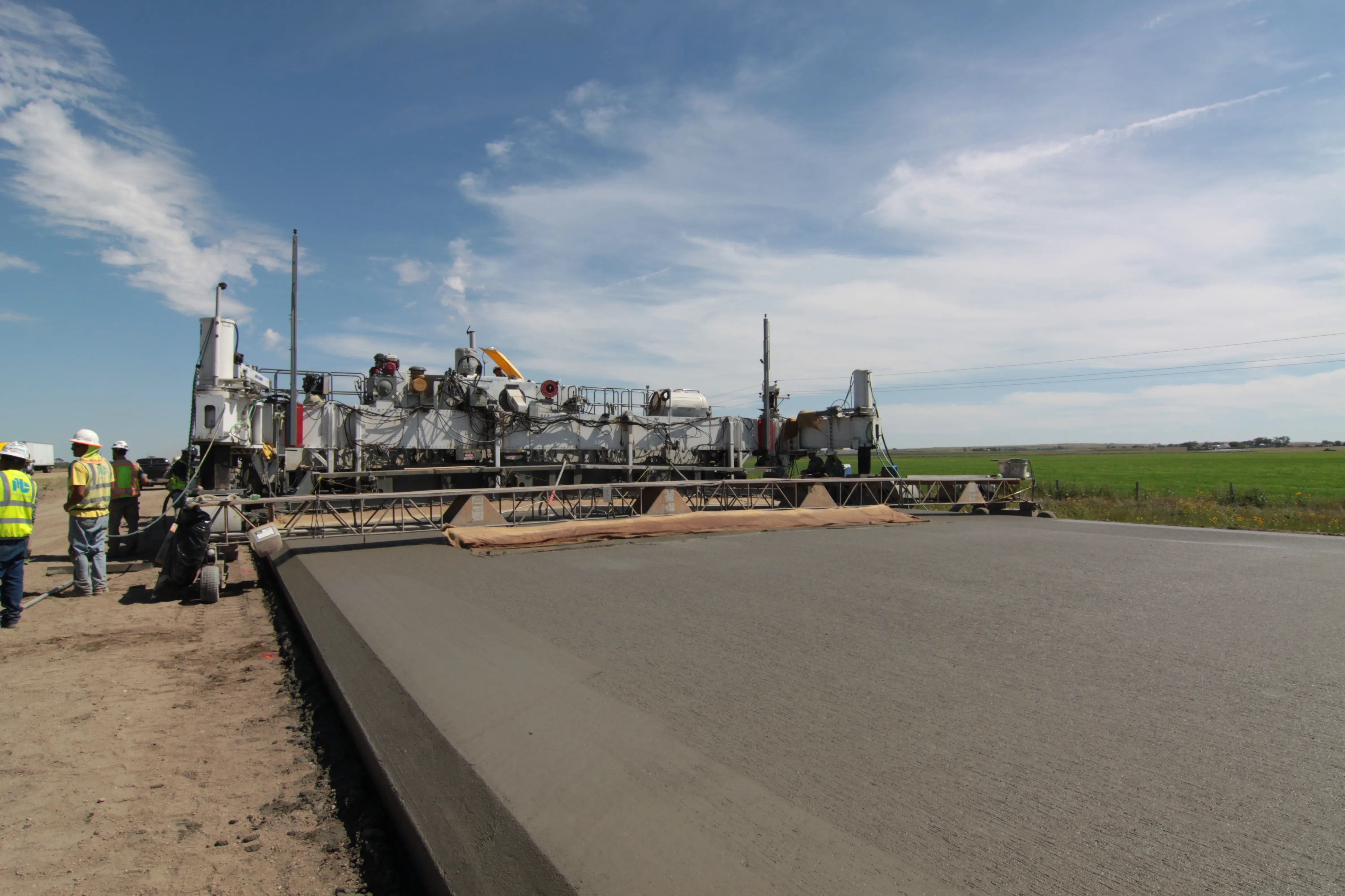
    Innovative technology has been used to deliver a smooth concrete road surface on a busy stretch of highway in Nebraska. Much-needed work on a busy section of Interstate 80 has been carried out in Nebraska to improve the road surface. This is one of the most important highways in the US, providing a link that stretches right across the country between the east and west coasts. This busy highway carries a high percentage of heavy truck traffic as it is a vital transport route. However this constant flow of la
  • New concrete paving equipment
    May 22, 2023
    The major players in the concrete slipforming market are offering an array of new and improved technologies for users
  • Profiling software assesses driver risk factors
    February 9, 2012
    The UK's Royal Society for the Prevention of Accidents (RoSPA) is now offering an updated version of its Driver Profiler package. Called Driver Profiler 20:20, this package is designed to assess whether a driver is a low, medium or high-risk by measuring psychometric, demographic and behavioural factors that influence safety. Using the package allows firms to identify drivers in need of further training and make informed decisions as to what is required. The system makes it possible to target specific train