Trimble’s new georeferencing package

Trimble company Applanix is now offering the POSPac MMS 8 package, an advanced GNSSaided inertial post-processing software for georeferencing data. This information can be collected from cameras, LIDARs, multibeam sonars and other sensors on mobile platforms. Using the Trimble CenterPoint RTX subscription service with the RTX technology, POSPac MMS 8 is said to offer new capabilities for mobile mapping from land, air, marine and UAV platforms. It can offer centimetre-level accuracy within one hour aft
March 13, 2017 Read time: 2 mins
2122 Trimble company Applanix is now offering the POSPac MMS 8 package, an advanced GNSSaided inertial post-processing software for georeferencing data. This information can be collected from cameras, LIDARs, multibeam sonars and other sensors on mobile platforms.

Using the Trimble CenterPoint RTX subscription service with the RTX technology, POSPac MMS 8 is said to offer new capabilities for mobile mapping from land, air, marine and UAV platforms.

It can offer centimetre-level accuracy within one hour after data collection with just an internet connection. The firm says it can be used to map inaccessible regions that have no existing continuously operational reference stations (CORS) without the cost of deploying local base stations. It can also provide reliable uptime using Trimble’s professionally managed, highly maintained private network and automatically survey in dedicated base stations direct from POSPac: streamline map production work_ ow.

A key advance is the integration of the Trimble RTX technology into POSPac MMS. The package also includes several new features such as a tool to avoid reworking with separate QC software that can be commuted to the field for running quality control on the GNSS observations to ensure accurate specifications can be met before leaving the project area.

For more information on companies in this article

Related Content

  • The UK Highways Agency engages Fugro for Doppler laser surveying
    January 6, 2015
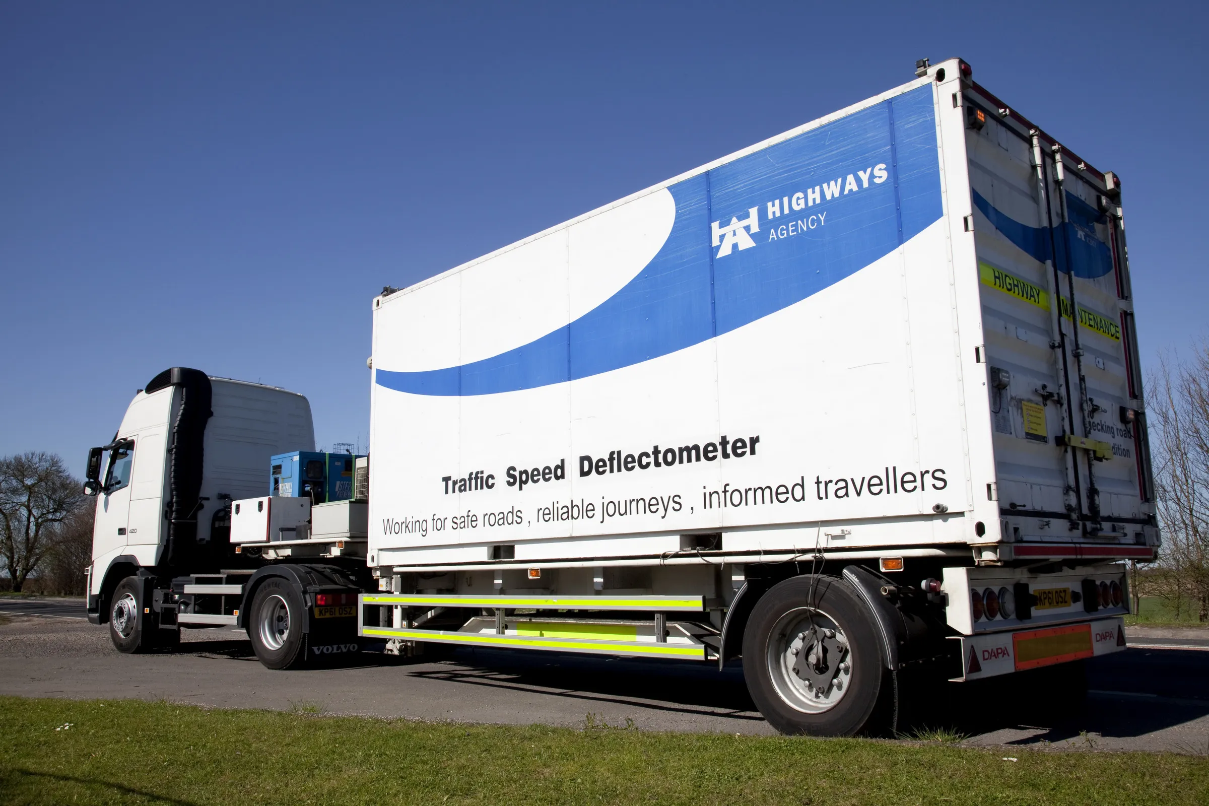
    The United Kingdom’s Highways Agency has awarded its first commercial contract to survey thousands of road lanes using sophisticated Doppler laser equipment. Fugro is driving the project forward, reports David Arminas The Highways Agency Traffic Speed Defelectometer vehicle looks like an ordinary flatbed truck delivering a similarly ordinary steel shipping container. But looks are deceiving. Inside the container is a sophisticated Doppler laser measuring system collecting pavement condition data of the U
  • Vitronic’s 90 POLISCAN FM1 LIDAR for Maryland
    September 14, 2022
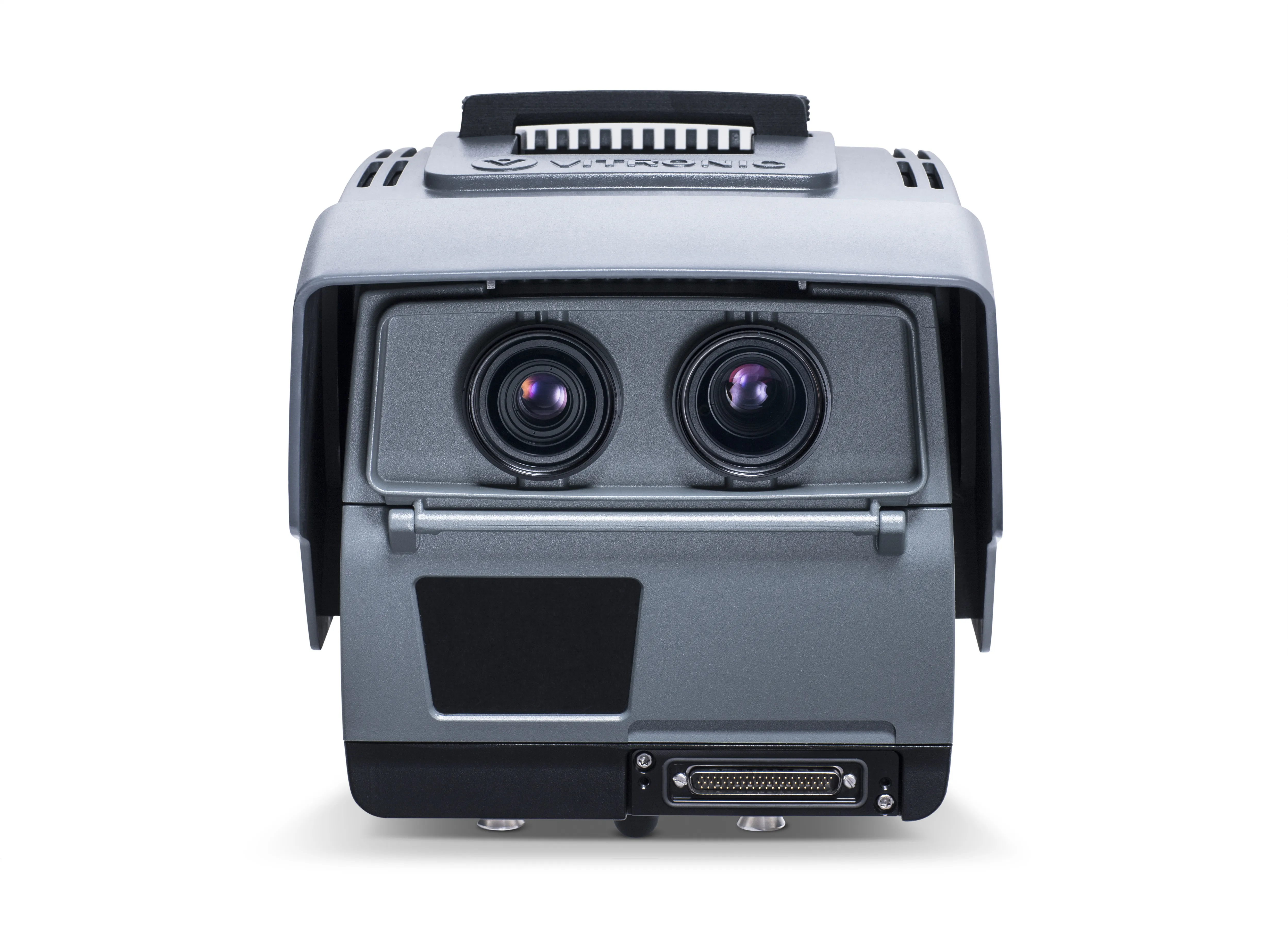
    Vitronic’s 90 POLISCAN FM1 systems offer both speed measurement and automatic license plate recognition in the US state of Maryland.
  • Hamm’s Dr Stefan Klumpp explains future of autonomous compaction
    December 20, 2016
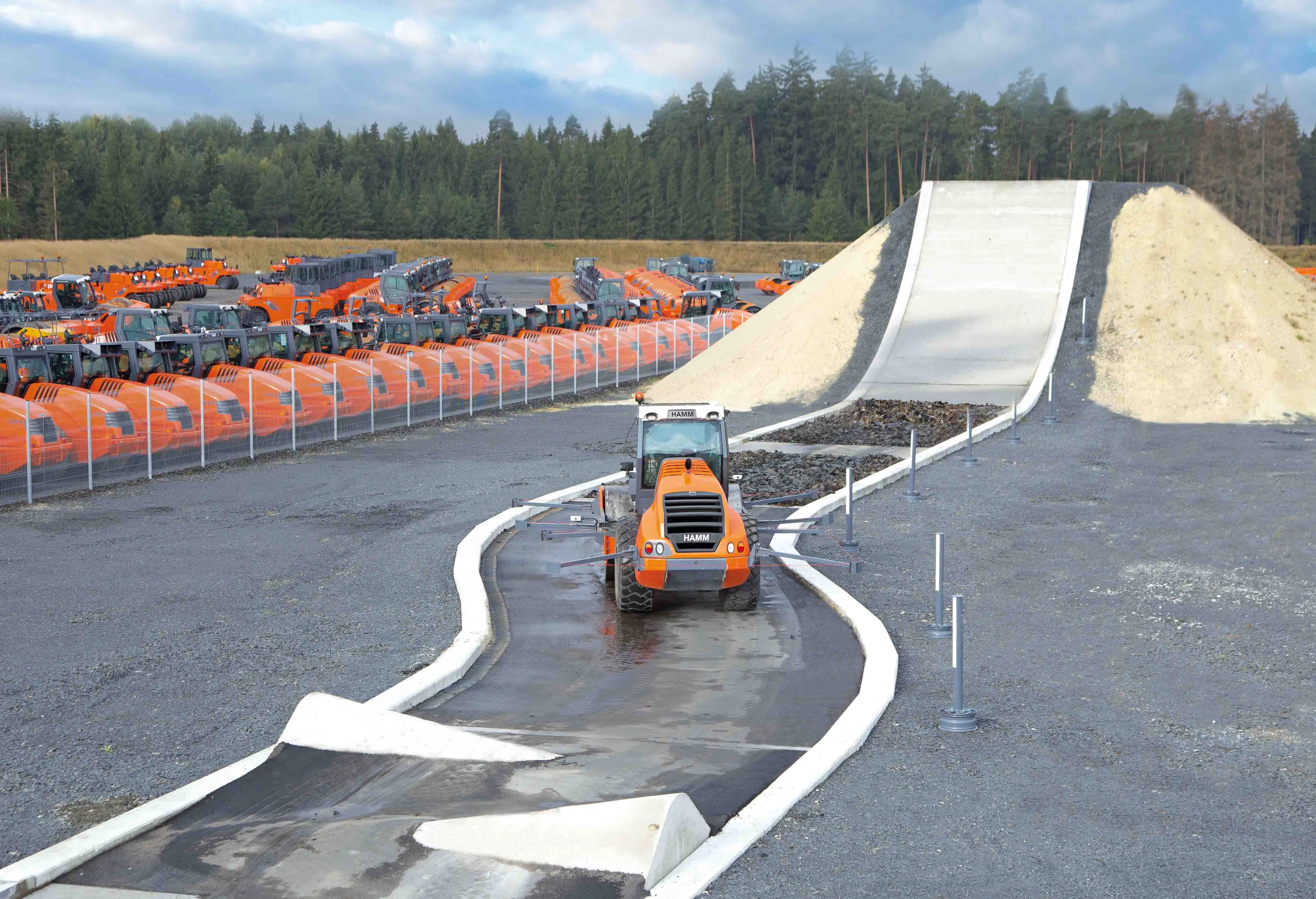
    Autonomous vehicles that can move around without human intervention are not yet a part of everyday life, but they are almost within reach.
  • Liebherr’s R 946 is firm’s first Stage IV crawler excavator
    January 6, 2017
    Liebherr’s new R 946 model is its first crawler excavator to meet the stage IV/ Tier 4f emissions standards. The new R 946 has an operating weight of around 40tonnes. The crawler excavator’s new six-cylinder Liebherr engine delivers 200 kW and integrates a new stage IV/ Tier 4f exhaust gas treatment system. This features a selective catalytic reduction (SCR) system using urea injection to post-treat exhaust gases.