Trimble’s new georeferencing package

Trimble company Applanix is now offering the POSPac MMS 8 package, an advanced GNSSaided inertial post-processing software for georeferencing data. This information can be collected from cameras, LIDARs, multibeam sonars and other sensors on mobile platforms. Using the Trimble CenterPoint RTX subscription service with the RTX technology, POSPac MMS 8 is said to offer new capabilities for mobile mapping from land, air, marine and UAV platforms. It can offer centimetre-level accuracy within one hour aft
March 13, 2017 Read time: 2 mins
2122 Trimble company Applanix is now offering the POSPac MMS 8 package, an advanced GNSSaided inertial post-processing software for georeferencing data. This information can be collected from cameras, LIDARs, multibeam sonars and other sensors on mobile platforms.

Using the Trimble CenterPoint RTX subscription service with the RTX technology, POSPac MMS 8 is said to offer new capabilities for mobile mapping from land, air, marine and UAV platforms.

It can offer centimetre-level accuracy within one hour after data collection with just an internet connection. The firm says it can be used to map inaccessible regions that have no existing continuously operational reference stations (CORS) without the cost of deploying local base stations. It can also provide reliable uptime using Trimble’s professionally managed, highly maintained private network and automatically survey in dedicated base stations direct from POSPac: streamline map production work_ ow.

A key advance is the integration of the Trimble RTX technology into POSPac MMS. The package also includes several new features such as a tool to avoid reworking with separate QC software that can be commuted to the field for running quality control on the GNSS observations to ensure accurate specifications can be met before leaving the project area.

For more information on companies in this article

Related Content

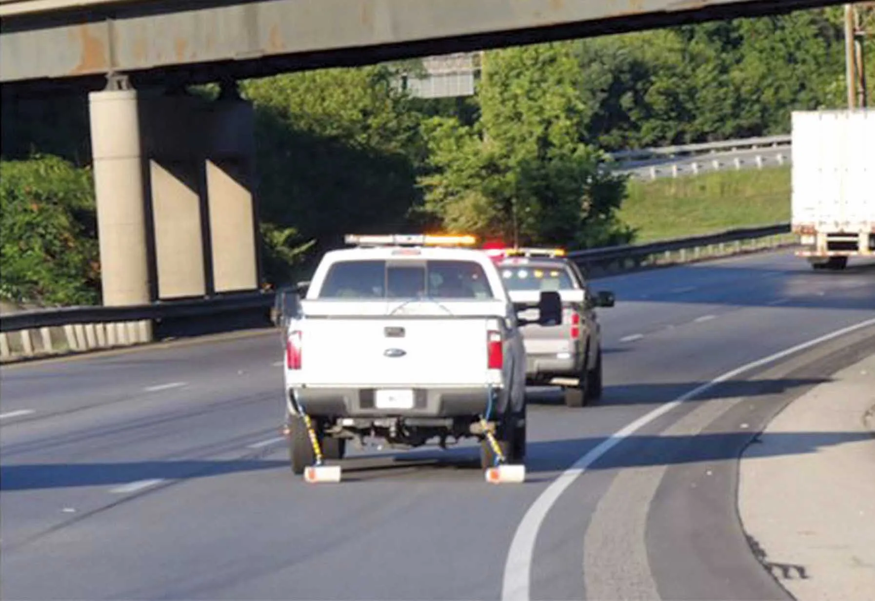
  • Ground penetrating radar used to investigate tunnel deterioration
    May 13, 2015
    Using ground penetrating radar to determine reason for serious pavement settling in Kentucky-Tennessee tunnel Just a few years after the opening of the Cumberland Gap Tunnel, highway officials noticed moderate to severe settling of the continuously reinforced concrete pavement. The mountain tunnel provides an important link between Kentucky and Tennessee along US25E and the problem looked serious, with many voids discovered beneath the pavement surface. To investigate the problems, the Kentucky Transpor
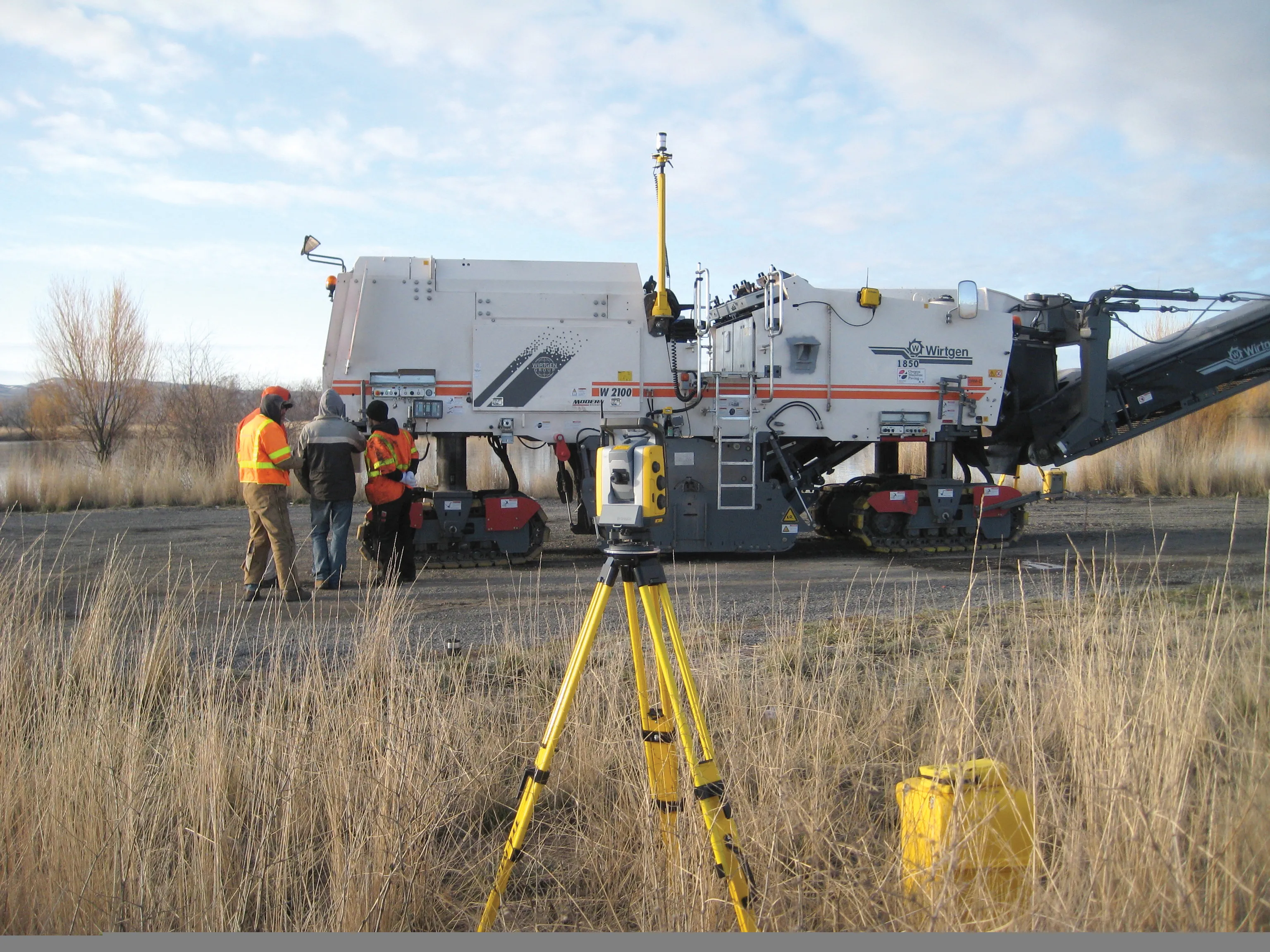
  • Machine control technology shortens road contract
    May 28, 2013
    The use of sophisticated machine control technology has helped halve the schedule required for a road contract – Jeff Winke. By using the latest machine control systems on the equipment fleet, a US contractor has managed to halve worker hours, machine time and overall costs. “We chopped 50% off the contract schedule,” said Jim Swenson, licensed professional land surveyor for Oregon Mainline Paving based in McMinnville, Oregon. “The project was completed a year ahead of the two-year schedule,” he explained.
  • Make the case for electronic tolling, ASECAP conference delegates heard
    September 14, 2015
    Mobility pricing and electronic tolling is the future, delegates to a recent ASECAP Study Days conference, reports Geoff Hadwick at the Lisbon event. The international road tolling industry is failing to make its case and the sector is losing out to other social and political lobby groups. As a result, “tolling is still on the sidelines”, according to the head of the Washington-based International Bridge, Tunnel and Turnpike Association. IBTTA chief executive Pat Jones issued his stark warning at the
  • Road surface assessment with GSSI
    March 9, 2017
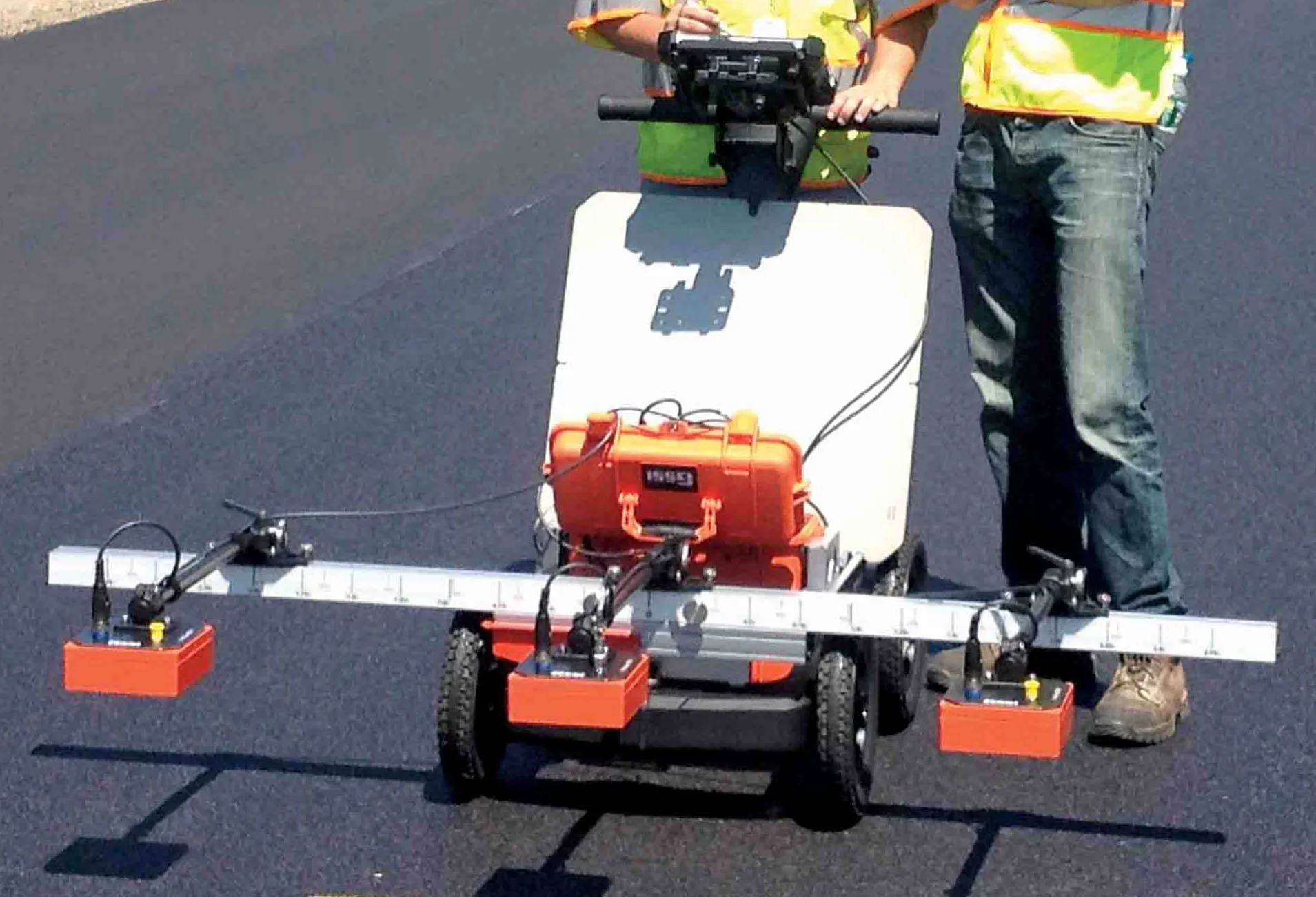
    GSSI's new PaveScan unit can provide accurate real-time measurements and uncover problems that occur during the paving process, including poor uniformity and significant variations in density. By avoiding these problems, PaveScan RDM helps avoid premature failures from road ravelling, cracking, and deterioration along joints. PaveScan automatically measures the dielectric value to identify anomalies in real-time. In addition, the dielectric values can be used to as a means to correlate voids and density in