Trimble’s new georeferencing package

Trimble company Applanix is now offering the POSPac MMS 8 package, an advanced GNSSaided inertial post-processing software for georeferencing data. This information can be collected from cameras, LIDARs, multibeam sonars and other sensors on mobile platforms. Using the Trimble CenterPoint RTX subscription service with the RTX technology, POSPac MMS 8 is said to offer new capabilities for mobile mapping from land, air, marine and UAV platforms. It can offer centimetre-level accuracy within one hour aft
March 13, 2017 Read time: 2 mins
2122 Trimble company Applanix is now offering the POSPac MMS 8 package, an advanced GNSSaided inertial post-processing software for georeferencing data. This information can be collected from cameras, LIDARs, multibeam sonars and other sensors on mobile platforms.

Using the Trimble CenterPoint RTX subscription service with the RTX technology, POSPac MMS 8 is said to offer new capabilities for mobile mapping from land, air, marine and UAV platforms.

It can offer centimetre-level accuracy within one hour after data collection with just an internet connection. The firm says it can be used to map inaccessible regions that have no existing continuously operational reference stations (CORS) without the cost of deploying local base stations. It can also provide reliable uptime using Trimble’s professionally managed, highly maintained private network and automatically survey in dedicated base stations direct from POSPac: streamline map production work_ ow.

A key advance is the integration of the Trimble RTX technology into POSPac MMS. The package also includes several new features such as a tool to avoid reworking with separate QC software that can be commuted to the field for running quality control on the GNSS observations to ensure accurate specifications can be met before leaving the project area.

For more information on companies in this article

Related Content

  • MOBA’s innovative drill control offers efficiency
    January 6, 2017
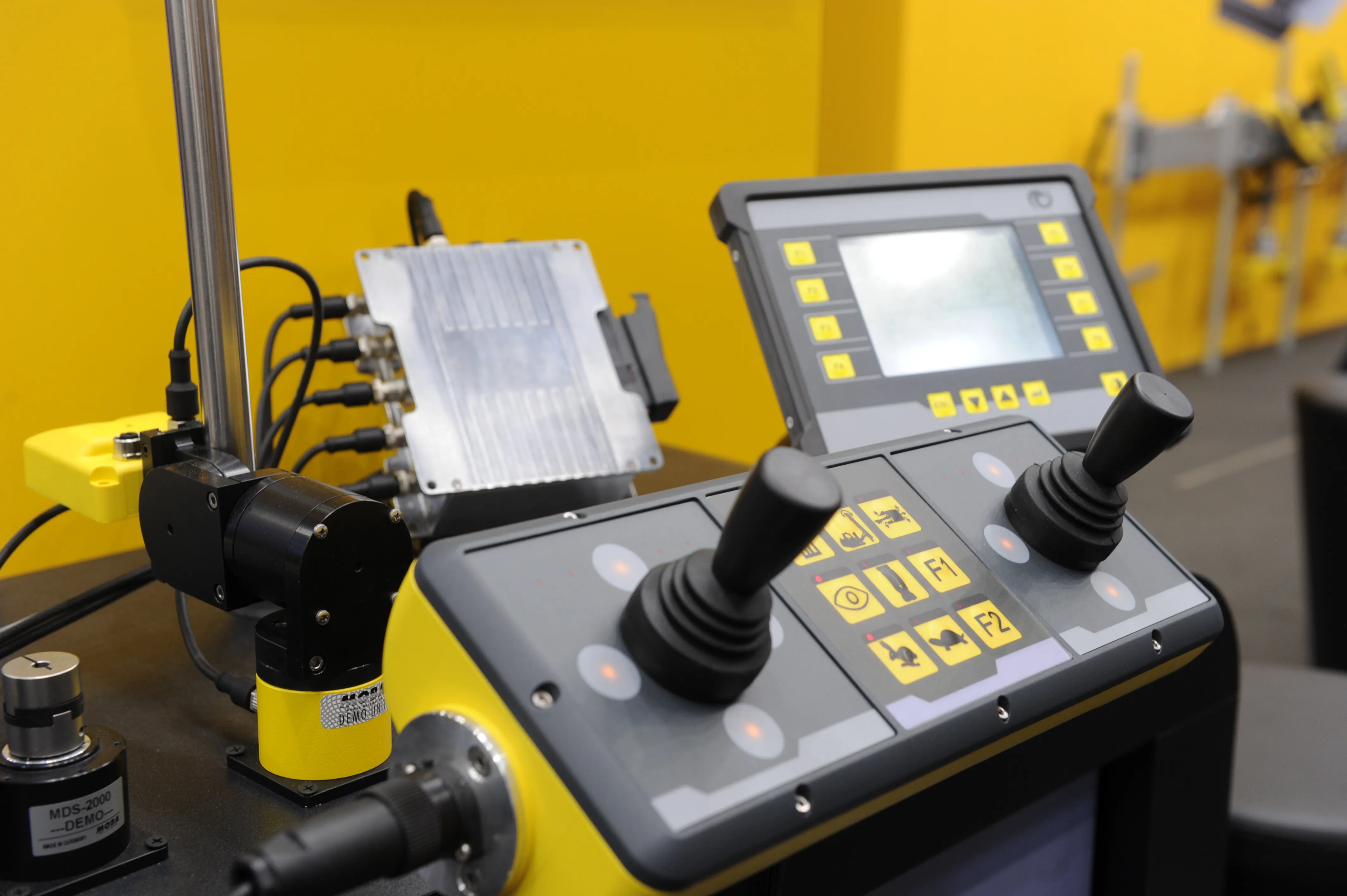
    MOBA continues to develop its novel MDS-2000 drilling system. This package has already proven itself in use for blast hole drilling in many operations and can now be used to record the orientation of the machine with GNSS antennae and the height using laser reference. With telesupport, MOBA also offers fast service through an Internet connection. By recording the machine orientation using two GNSS antennae, the torsion on the machine can be determined with very high accuracy and included in the calculation
  • Scottish trial for OTT HydroMet’s ecoLog 1000
    April 25, 2022
    An OTT ecoLog 1000 water level logger with cellular data connection to Hydromet Cloud was trialled upon the Vales Burn Bridge in Scotland.
  • How to reduce environmental impact with Cummins Performance Series
    May 10, 2022
    There has been significant focus on alternative power solutions for off-road vehicles and equipment such as hybrid, full electric and hydrogen. Whilst these solutions will be suitable in the long term, it will take time for these technologies to be competitive and enable wider adopted in the construction industry.
  • High performance from Topcon’s HiPer XR
    April 11, 2025

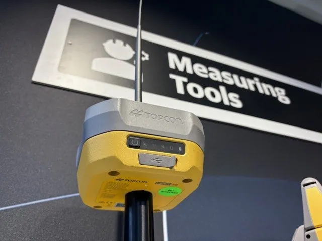
    The HiPer XR, from Topcon Positioning Systems, is a robust high-precision GNSS receiver for surveying, construction and geospatial work. It delivers precision and efficiency, tackling all challenges with RTK accuracy and Dynamic TILT Compensation technology for effortless measurements, even in difficult conditions.

    Its anti-jamming capabilities ensure reliable performance, while the lightweight, rugged design withstands harsh environments. The HiPer XR is about versatile connectivity with long battery life at an affordable price.