Trimble’s new georeferencing package

Trimble company Applanix is now offering the POSPac MMS 8 package, an advanced GNSSaided inertial post-processing software for georeferencing data. This information can be collected from cameras, LIDARs, multibeam sonars and other sensors on mobile platforms. Using the Trimble CenterPoint RTX subscription service with the RTX technology, POSPac MMS 8 is said to offer new capabilities for mobile mapping from land, air, marine and UAV platforms. It can offer centimetre-level accuracy within one hour aft
March 13, 2017 Read time: 2 mins
2122 Trimble company Applanix is now offering the POSPac MMS 8 package, an advanced GNSSaided inertial post-processing software for georeferencing data. This information can be collected from cameras, LIDARs, multibeam sonars and other sensors on mobile platforms.

Using the Trimble CenterPoint RTX subscription service with the RTX technology, POSPac MMS 8 is said to offer new capabilities for mobile mapping from land, air, marine and UAV platforms.

It can offer centimetre-level accuracy within one hour after data collection with just an internet connection. The firm says it can be used to map inaccessible regions that have no existing continuously operational reference stations (CORS) without the cost of deploying local base stations. It can also provide reliable uptime using Trimble’s professionally managed, highly maintained private network and automatically survey in dedicated base stations direct from POSPac: streamline map production work_ ow.

A key advance is the integration of the Trimble RTX technology into POSPac MMS. The package also includes several new features such as a tool to avoid reworking with separate QC software that can be commuted to the field for running quality control on the GNSS observations to ensure accurate specifications can be met before leaving the project area.

For more information on companies in this article

Related Content

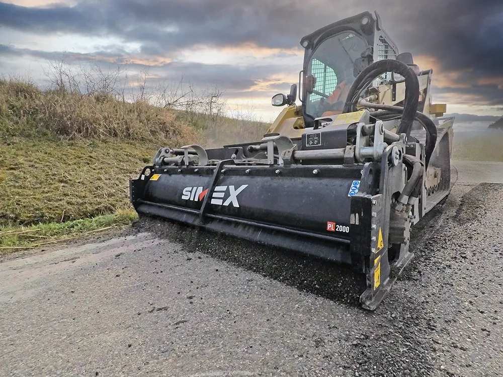
  • Efficient road maintenance with Simex
    October 1, 2022

    Simex at Bauma Munich from 24 to 30 October, Hall C5, Booth 325.

    Bauma Munich – the most anticipated trade fair event in terms of strategic importance, turnout, new product launches and media impact for the earthmoving sector – has always been an opportunity for Simex to show to its partners and users its technical quality. The ability to innovate and do research, combining the new models in the range with new technological concepts, it’s the Simex way to outline the paths to be followed in the future.

  • Leica Geosystems introduces smart monitoring of structures
    October 1, 2014
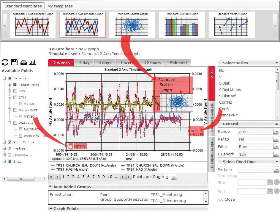
    Highly sophisticated, the Leica GeoMoS Now! From Leica Geosystems is a new web-based application enables on-the-go visualisation and analysis of structural and ground movement monitoring data. With this package, large quantities of geodetic and geotechnical data are said to be easier to handle with simplified workflows using automatic configuration and distribution tools. The package can quickly notify users of any changes in data for faster, more informed responses. Leica GeoMoS Now! allows users t
  • Asphalt plant innovations unveiled
    May 8, 2019
    New asphalt plant technology is being introduced by a range of manufacturers to meet varying needs and increase system versatility.
  • Advances in wheeled loaders coming to market
    February 14, 2022
    Manufacturers are introducing new wheeled loaders that offer performance advantages over earlier generation machines