Trimble’s new georeferencing package

Trimble company Applanix is now offering the POSPac MMS 8 package, an advanced GNSSaided inertial post-processing software for georeferencing data. This information can be collected from cameras, LIDARs, multibeam sonars and other sensors on mobile platforms. Using the Trimble CenterPoint RTX subscription service with the RTX technology, POSPac MMS 8 is said to offer new capabilities for mobile mapping from land, air, marine and UAV platforms. It can offer centimetre-level accuracy within one hour aft
March 13, 2017 Read time: 2 mins
2122 Trimble company Applanix is now offering the POSPac MMS 8 package, an advanced GNSSaided inertial post-processing software for georeferencing data. This information can be collected from cameras, LIDARs, multibeam sonars and other sensors on mobile platforms.

Using the Trimble CenterPoint RTX subscription service with the RTX technology, POSPac MMS 8 is said to offer new capabilities for mobile mapping from land, air, marine and UAV platforms.

It can offer centimetre-level accuracy within one hour after data collection with just an internet connection. The firm says it can be used to map inaccessible regions that have no existing continuously operational reference stations (CORS) without the cost of deploying local base stations. It can also provide reliable uptime using Trimble’s professionally managed, highly maintained private network and automatically survey in dedicated base stations direct from POSPac: streamline map production work_ ow.

A key advance is the integration of the Trimble RTX technology into POSPac MMS. The package also includes several new features such as a tool to avoid reworking with separate QC software that can be commuted to the field for running quality control on the GNSS observations to ensure accurate specifications can be met before leaving the project area.

For more information on companies in this article

Related Content

  • Ver-Mac launches the cloud-based WZMC-1000 work zone camera system
    May 18, 2018
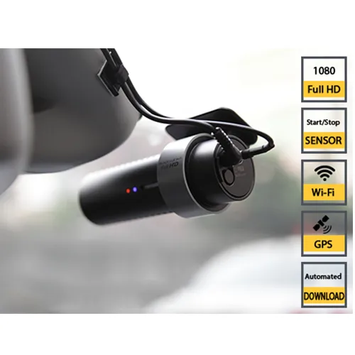
    Ver-Mac has launched the WZMC-1000, a fully-automated cloud-based work zone camera system. It comes with an integrated GPS, as well as integrated wifi, a proximity sensor to start-stop recording and voice feedback. The Canadian company, based in Quebec City, says that the easy-to-use low-cost high-definition system allows contractors and agencies a tool to document their projects with very minimal management. It provides high-quality videos along with automatic video transfer and cloud-based storage.
  • Road accident data management
    July 19, 2012
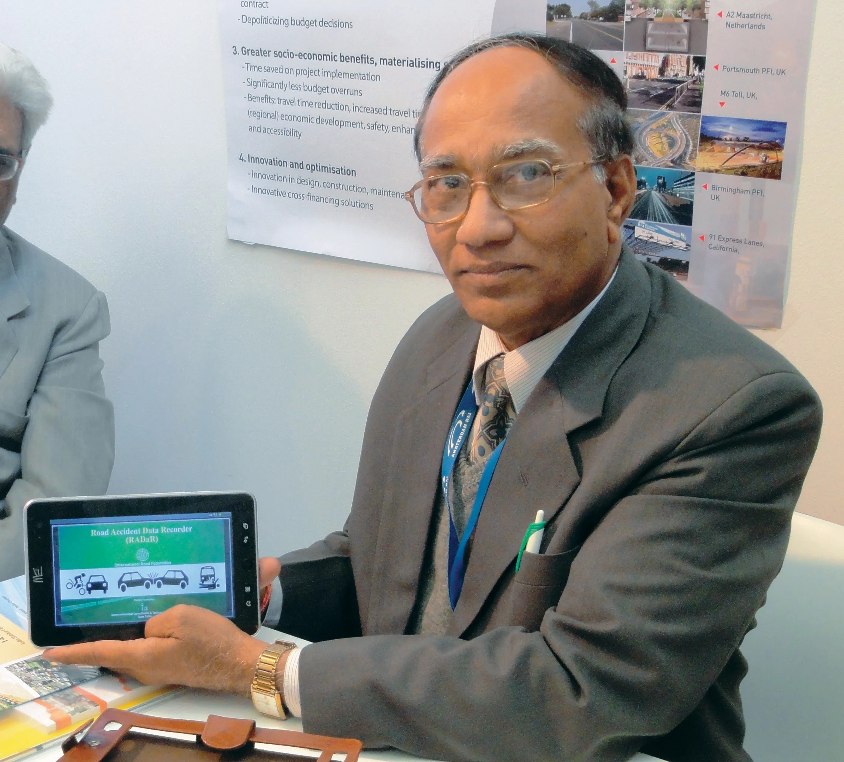
    IRF Geneva unveils a modern solution for road accident data management. This year's Intertraffic Amsterdam exhibition provided a high-profile backdrop for the launch of RADaR, a pioneering new tablet application developed to facilitate the on-site collection of precise and scientific accident data, primarily by traffic police. Introducing the application to an international audience gathered in the venue’s inaugural Smart Mobility Centre, IRF Geneva's director general, Sibylle Rupprecht, highlighted RADaR's
  • Asphalt plant innovators offer RAP rates of more than 60%
    May 27, 2020
    Ammann, Astec and Fayat are all introducing innovative new technology for the asphalt plant sector that offer solutions for the use of RAP as well as effective maintenance.
  • British Tunnelling Society conference: digging deep for data
    December 13, 2016
    Tunnelling innovation is creating mountains of data for contractors and designers, delegates to a recent British Tunnelling Society (BTS) conference heard Successful innovation in tunnelling techniques and technologies is creating more and more data, thanks to digitalisation.