Trimble’s new drone package offers versatility

Trimble is now offering a sophisticated new drone package called Trimble Stratus, through the firm’s partnership with drone-mapping and analytics company Propeller Aero. According to Martin Wagener, worldwide product implementation manager for the firm, the system allows the user to employ any type of commercial quality drone. The important part of the package is the Aeropoint, a small flat plate developed by Propellor. This is placed on the ground and acts as a point of reference for all of the drone’s ge
April 26, 2018 Read time: 2 mins
Trimble’s new drone offering can deliver accuracy and versatility
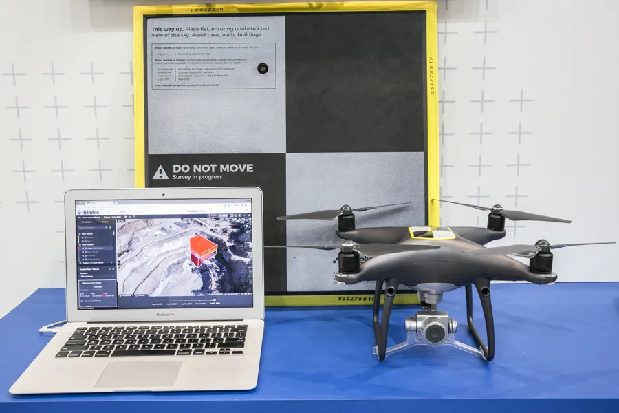
2122 Trimble is now offering a sophisticated new drone package called Trimble Stratus, through the firm’s partnership with drone-mapping and analytics company 8779 Propeller Aero. According to Martin Wagener, worldwide product implementation manager for the firm, the system allows the user to employ any type of commercial quality drone.


The important part of the package is the Aeropoint AeroPoint, a small flat plate ground control point developed by Propeller Aero that makes drone data survey-grade and works with any GPS enabled device. This is placed on the ground and acts as a point of reference for all of the drone’s geolocated images and measurements. The plate features integral GPS and wireless connectivity.
 
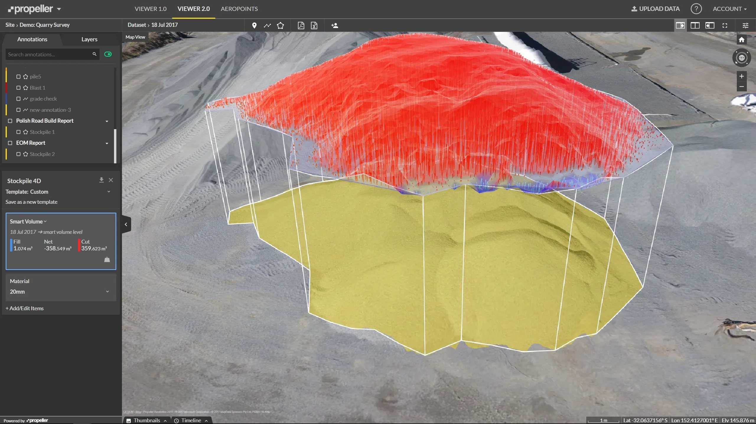
The package allows a user to get a comprehensive overview of a project or working area. “You upload all of the pics onto the online Trimble Stratus package and it stitches all the images together to form a digital terrain model. A few hours later you get full pointcloud models from Trimble,” said Wagener.
 
Wagener explained that it requires minimal training to operate, with the complex image data handling task offered as a service by Trimble Trimble Stratus, or its SiTech SITECH dealer network, for the customer.

For more information on companies in this article

Related Content

  • Efficient stockpile and site monitoring
    October 23, 2017
    Effective monitoring of aggregates stockpiles as well as face excavation can deliver greater quarrying efficiency. One of the latest innovations in quarrying is the use of drones, which provide major benefits for optimising operations. The use of affordable drone hardware and software solutions can help reduce stockpile inventory time by as much as 70%. Through the recent partnership between Trimble and Propeller, drone data can now be an everyday tool in quarries by proving a transformational impact
  • Sophisticated software solutions offering surveying innovation and construction efficiency
    August 28, 2014
    An array of new software tools will deliver greater efficiencies to construction companies – Mike Woof writes. Sophisticated software systems are delivering advanced solutions to traditional construction tasks. Key developments have been made by major players in the sector, such as Bentley Systems, Fugro Roadware, Leica Geosystems and Topcon Sokkia. From Bentley comes a new package that will help road construction activities in urban areas featuring a heavy concentration of underground utilities. This n
  • Trimble launches Site Positioning System Essentials Kit
    February 20, 2014
    Trimble has introduced a Site Positioning System designed for owner operators, small site contractors or construction companies new to GPS. The Trimble Site Positioning System Essentials Kit gives contractors proven Trimble quality and accuracy in an affordable and easy-to-use solution. The Essentials Kit is comprised of the new Trimble Site Mobile controller, Trimble SCS900 Site Controller Software and Trimble SPS985L GNSS Smart Antenna for a complete GPS positioning solution. Using GPS, a grade checker
  • Software tools aid construction, reduce costs
    February 28, 2012
    Integrated construction software offers an effective planning solution - *Mark Nichols writes. In a world where resources are limited, 20 year designing and building in a sustainable way is more critical than ever. By employing today's software tools it is possible to reduce the total cost of construction of a new highway, while reducing operating costs and environmental impacts. The path to achieving the greatest gains is to take a holistic approach to the plan, design, construct and operate process from t