Trimble’s latest Quantm leap

Trimble has launched version 7.3 of the Trimble Quantm system for road and rail alignment planning. Version 7.3 introduces Trimble Quantm Enterprise, a locally hosted version of what the US firm says is the proven Quantm system for alignment planning. Said to be designed for government planning agencies and large, multi-disciplinary consultants who perform transportation planning in-house, Trimble Quantm Enterprise is described as offering all the functionality of the Quantm system, operating on the users
December 20, 2012 Read time: 2 mins

Trimble has launched version 7.3 of the Trimble Quantm system for road and rail alignment planning.

Version 7.3 introduces Trimble Quantm Enterprise, a locally hosted version of what the US firm says is the proven Quantm system for alignment planning. Said to be designed for government planning agencies and large, multi-disciplinary consultants who perform transportation planning in-house, Trimble Quantm Enterprise is described as offering all the functionality of the Quantm system, operating on the users’ Intranet and server. With Quantm Enterprise, organisations are said to have the flexibility to apply the Quantm system on multiple road or rail projects within their organisation, ranging from short bypasses or spur lines to national transport plans.

Version 7.3 of the Quantm system also includes an integrated visualisation engine for design reviews and consultation, and an automated property analysis identifying all affected land parcels and property owners for each alignment alternative. In addition, free Quantm viewer software is now available so users can easily share proposed alignments with project stakeholders.

Related Content

  • Highway design software developments
    February 21, 2012
    New advanced software is being released for use by those involved in highway design as Adrian Greeman reports. The growing importance of BIM, building or project information modelling, as a design and construction process, and not just 3D modelling, is the driving force for the latest 2012 versions of Autodesk's comprehensive range of software for civil engineers. This is reflected in a new packaging of its various software tools into suites (along the lines of Microsoft's office suites) tailored to variou
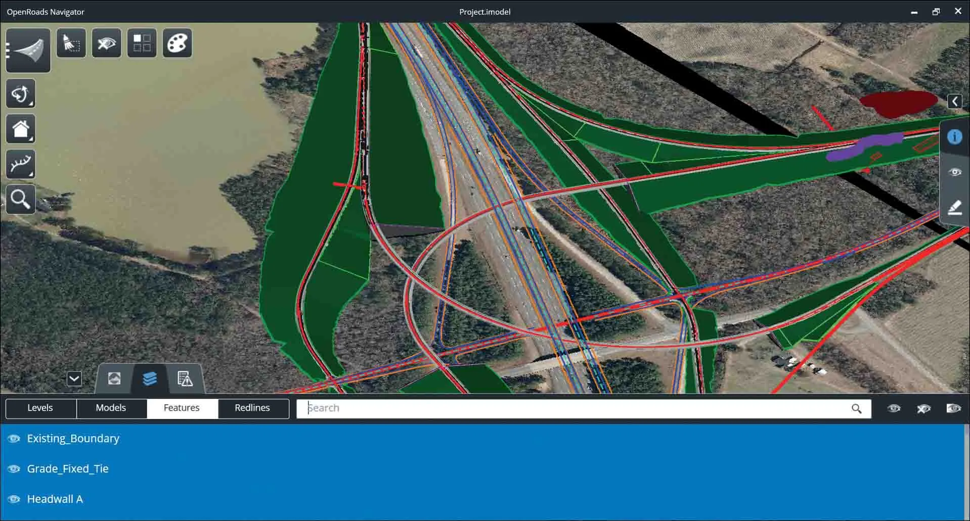
  • Bentley Systems launches OpenRoads Designer CONNECT Edition
    April 13, 2017
    The beginning of this year saw Bentley Systems launch a major advanced comprehensive global tool for today’s increasingly widespread BIM environment. Christmas 2016 came early for Bentley's global clients. In fact, they had a hint of what was going to be under their tree come the celebrations in December. On November 1, at Bentley’s annual global client gathering and awards event Year in Infrastructure Conference in London, the solutions provider announced that OpenRoads Designer CONNECT Edition would be a
  • Trimble’s vision of a far more efficient future
    July 5, 2021
    Trimble is offering a future with more efficient, optimised construction operations for faster project delivery
  • Leica Geosystems introduces smart monitoring of structures
    October 1, 2014
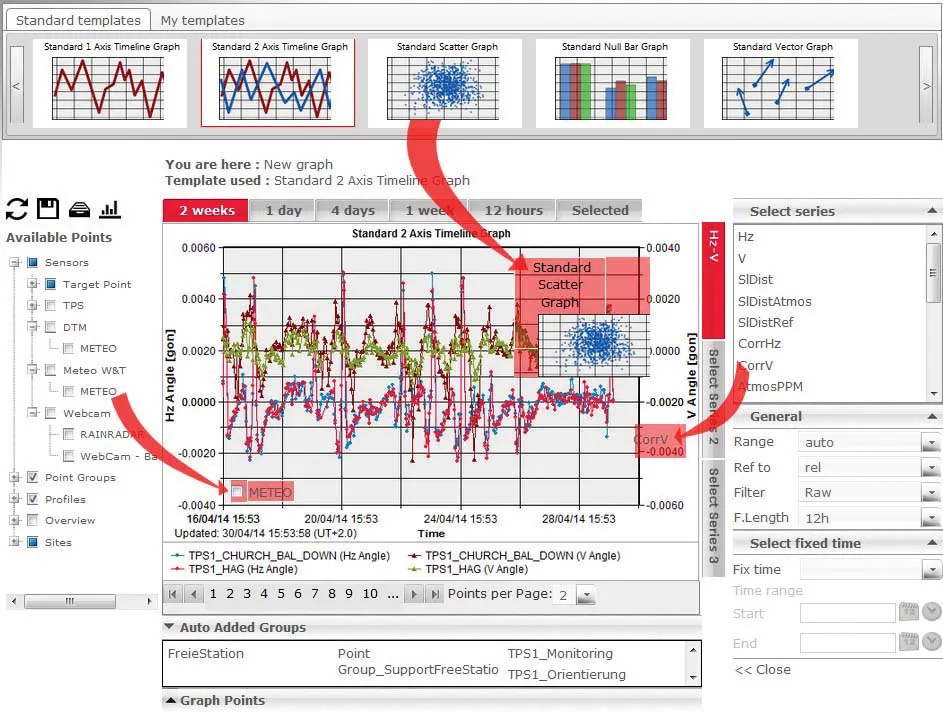
    Highly sophisticated, the Leica GeoMoS Now! From Leica Geosystems is a new web-based application enables on-the-go visualisation and analysis of structural and ground movement monitoring data. With this package, large quantities of geodetic and geotechnical data are said to be easier to handle with simplified workflows using automatic configuration and distribution tools. The package can quickly notify users of any changes in data for faster, more informed responses. Leica GeoMoS Now! allows users t