Trimble develops smart surveying possibilities

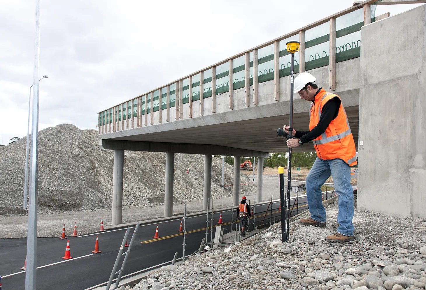
The new offering from Trimble Positioning Services will help deliver greater accuracy in construction, according to the firm. This technology offers high accuracy GNSS data as Trimble provides correction services, allowing users to obtain accurate positioning for construction projects, including site surveys, machine control, site stakeout, site layout, and fine grading.
January 6, 2017 Read time: 1 min
Trimble’s smart positioning services offer productivity gains
The new offering from 2122 Trimble Positioning Services will help deliver greater accuracy in construction, according to the firm. This technology offers high accuracy GNSS data as Trimble provides correction services, allowing users to obtain accurate positioning for construction projects, including site surveys, machine control, site stakeout, site layout, and fine grading.

Trimble customisable global positioning services include the VRS Now, Trimble CenterPoint RTX and OmniSTAR offerings. Using Trimble VRS Now allows contractors access to real time kinematic (RTK) corrections using a network of permanent (fixed) continuously operating reference stations while saving time, money, and resources.  Trimble CenterPoint RTX offers real-time, better than 40mm accuracy worldwide without requiring use of a base station. OmniSTAR correction services deliver reliable, accurate GNSS positions with 24 hour, 365 day support globally.

For more information on companies in this article

Related Content

  • Fast field data collection
    February 10, 2012
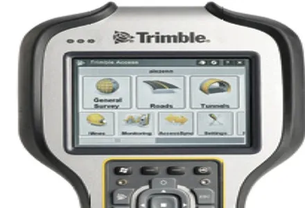
    Trimble's sophisticated TSC3 controller is designed to allow surveyors and geospatial professionals to collect, share and deliver data. This unit is said to improve accuracy, efficiency and productivity between the field and office and is designed to be used with the Trimble Access software. The TSC3 controller offers fast and reliable data collection, computing and connectivity capabilities and provides multiple functions in a single handheld device. The unit incorporates a digital camera, integrated commu
  • Quantm is making Trimble one of the world’s leading BIM market challengers
    December 19, 2016
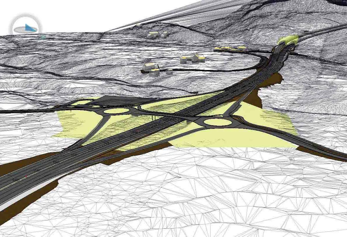
    When Trimble first launched its Quantm software system a decade or so ago, the company was making an important step into end-to-end BIM modelling. The rules of the game were changing fast. Adrian Greeman reports When survey and machine control equipment maker Trimble bought the Australian road planning software system Quantm in 2006 it might not have realised quite what it was leading to. A decade later, Quantm is helping to put Trimble among the big players in the BIM (building information modelling) en
  • 3D PAVING comes to India and is boosting slipforming efficiency
    December 19, 2016
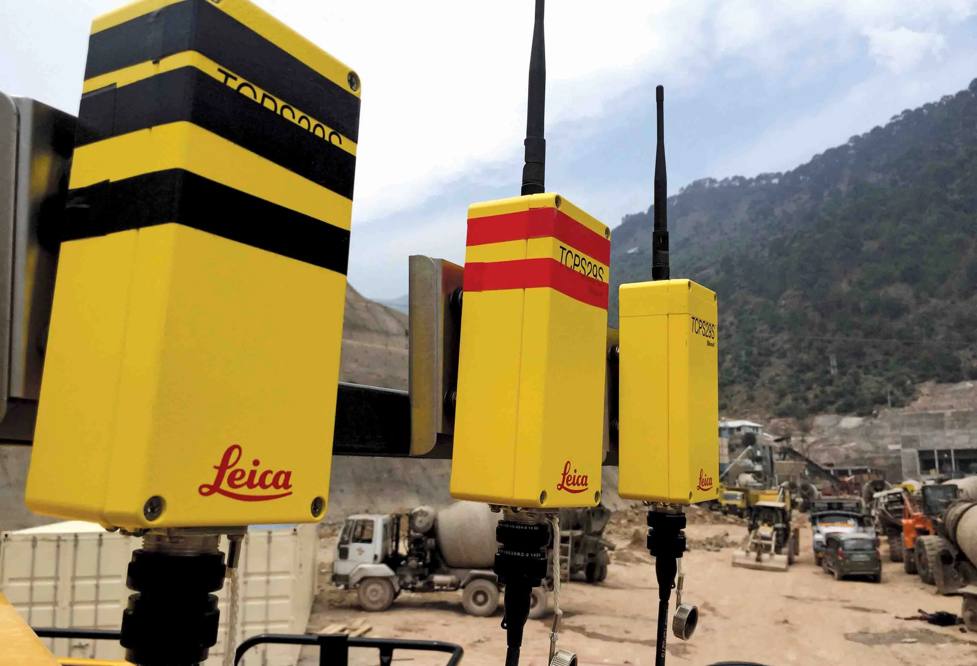
    Situated on India’s northern frontier, the state of Jammu and Kashmir is world-renowned for its aesthetic vistas and captivating landscapes. The arterial roads connecting the city of Jammu to that of Srinagar is a challenge to maintain, being constantly exposed to harsh weather and overburdened with vehicular movement. Leica Geosystems has been involved in the Chenani-Nashri tunnel project, India’s longest road tunnel and which will be part of an alternate route in the region
  • Soil compaction innovations abound
    October 26, 2012
    Manufacturers continue to innovate with sophisticated new soil compaction machines - Mike Woof reports This year has seen the introduction of a series of new soil compaction machines, as manufacturers develop their product ranges. Meeting emission legislation requirements in Europe and North America has helped drive firms to install the latest engine designs. Meanwhile machines have also evolved as companies further refine operating features. The global market for compaction machines has been dominated by