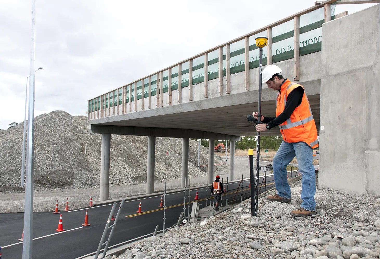
The new offering from Trimble Positioning Services will help deliver greater accuracy in construction, according to the firm. This technology offers high accuracy GNSS data as Trimble provides correction services, allowing users to obtain accurate positioning for construction projects, including site surveys, machine control, site stakeout, site layout, and fine grading.
The new offering from 2122 Trimble Positioning Services will help deliver greater accuracy in construction, according to the firm. This technology offers high accuracy GNSS data as Trimble provides correction services, allowing users to obtain accurate positioning for construction projects, including site surveys, machine control, site stakeout, site layout, and fine grading.
Trimble customisable global positioning services include the VRS Now, Trimble CenterPoint RTX and OmniSTAR offerings. Using Trimble VRS Now allows contractors access to real time kinematic (RTK) corrections using a network of permanent (fixed) continuously operating reference stations while saving time, money, and resources. Trimble CenterPoint RTX offers real-time, better than 40mm accuracy worldwide without requiring use of a base station. OmniSTAR correction services deliver reliable, accurate GNSS positions with 24 hour, 365 day support globally.
Trimble customisable global positioning services include the VRS Now, Trimble CenterPoint RTX and OmniSTAR offerings. Using Trimble VRS Now allows contractors access to real time kinematic (RTK) corrections using a network of permanent (fixed) continuously operating reference stations while saving time, money, and resources. Trimble CenterPoint RTX offers real-time, better than 40mm accuracy worldwide without requiring use of a base station. OmniSTAR correction services deliver reliable, accurate GNSS positions with 24 hour, 365 day support globally.