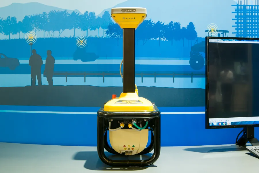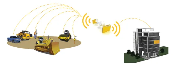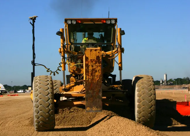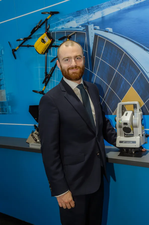
The sophisticated drone models offered by
The units feature high resolution cameras, which offer accurate and comprehensive datasets for photogrammetry work. Chris Emery, Topcon’s business manager monitoring solutions, Europe said: “You get swathes of data for as-built or verification purposes.”
Combined with new analytical tools, this technology means that there is no longer a need to send personnel into high-risk working areas. Data can be quickly collected, analysed and used, for example, in the evaluation of real-time progress on construction operations or producing stockpile reports.