Topcon’s sophisticated drone offering

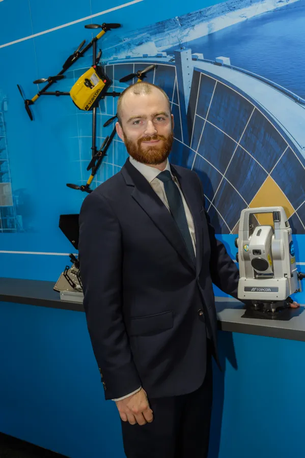
The sophisticated drone models offered by Topcon Positioning have been made available through the firm’s partnership with Intel. These highly-advanced units are available in fixed wing or rotary versions, with features including triple redundancy to ensure reliability and prevent failures. The units feature high resolution cameras, which offer accurate and comprehensive datasets for photogrammetry work. Chris Emery, Topcon’s business manager monitoring solutions, Europe said: “You get swathes of data for
April 26, 2018 Read time: 1 min
Topcon’s drone range offers accurate data gathering

The sophisticated drone models offered by 342 Topcon Positioning have been made available through the firm’s partnership with Intel. These highly-advanced units are available in fixed wing or rotary versions, with features including triple redundancy to ensure reliability and prevent failures.

The units feature high resolution cameras, which offer accurate and comprehensive datasets for photogrammetry work. Chris Emery, Topcon’s business manager monitoring solutions, Europe said: “You get swathes of data for as-built or verification purposes.”

Combined with new analytical tools, this technology means that there is no longer a need to send personnel into high-risk working areas. Data can be quickly collected, analysed and used, for example, in the evaluation of real-time progress on construction operations or producing stockpile reports.

For more information on companies in this article

Related Content

  • Compact machine control package from trimble
    December 10, 2018
    Trimble is introducing the Earthworks GO! package, aimed at use with compact machines. This is a significant development as it will allow users of small machines access to machine control systems, improving productivity and work quality. The firm says that its Earthworks GO! offering allows users to deliver accurate grading with a simple, portable package. This compact machine control solution runs on Android or iOS smartphones. Scott Crozier is general manager of Trimble’s general construction division. H
  • EarthSense Systems releases air pollution map of the UK
    June 15, 2018
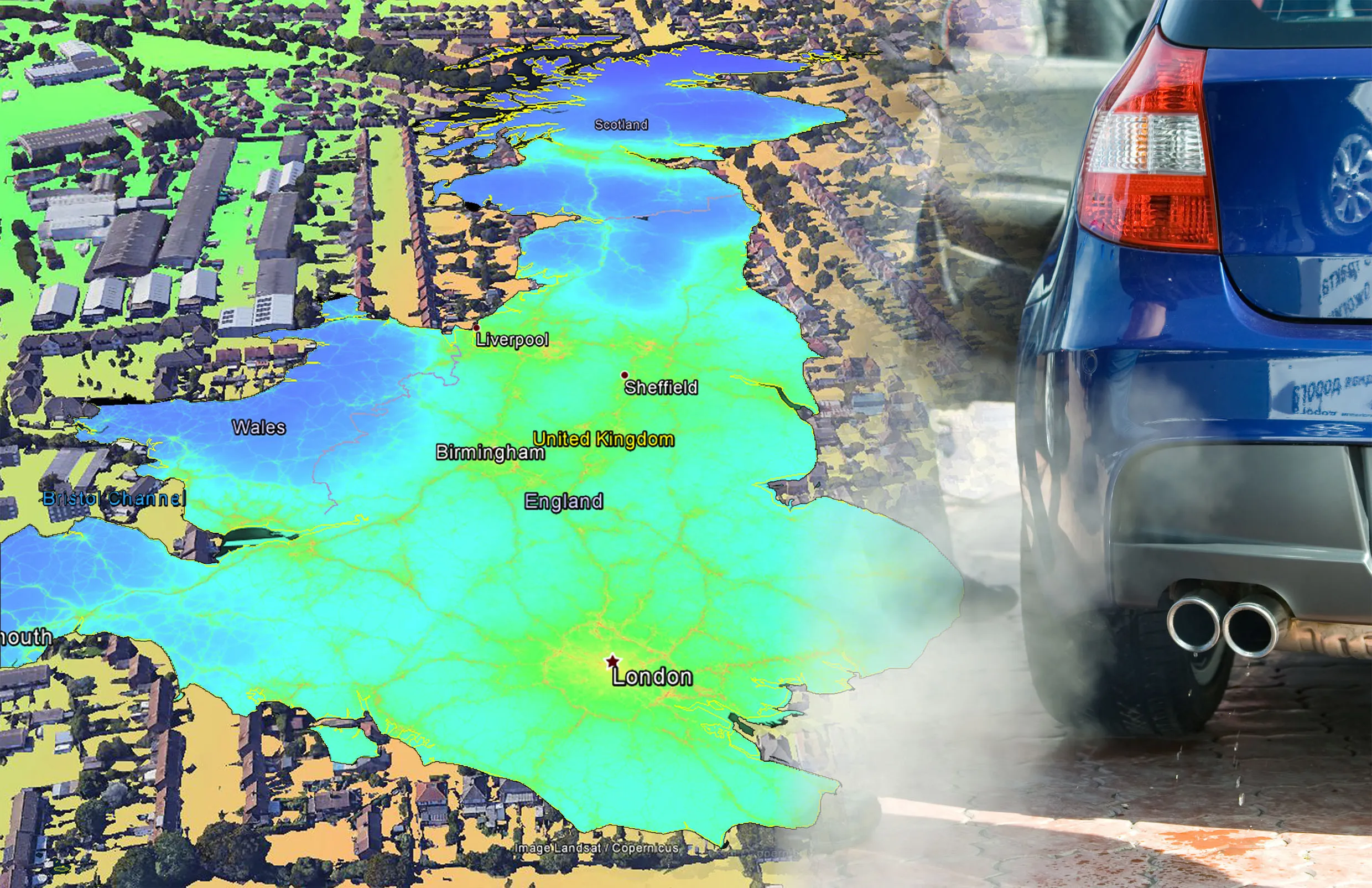
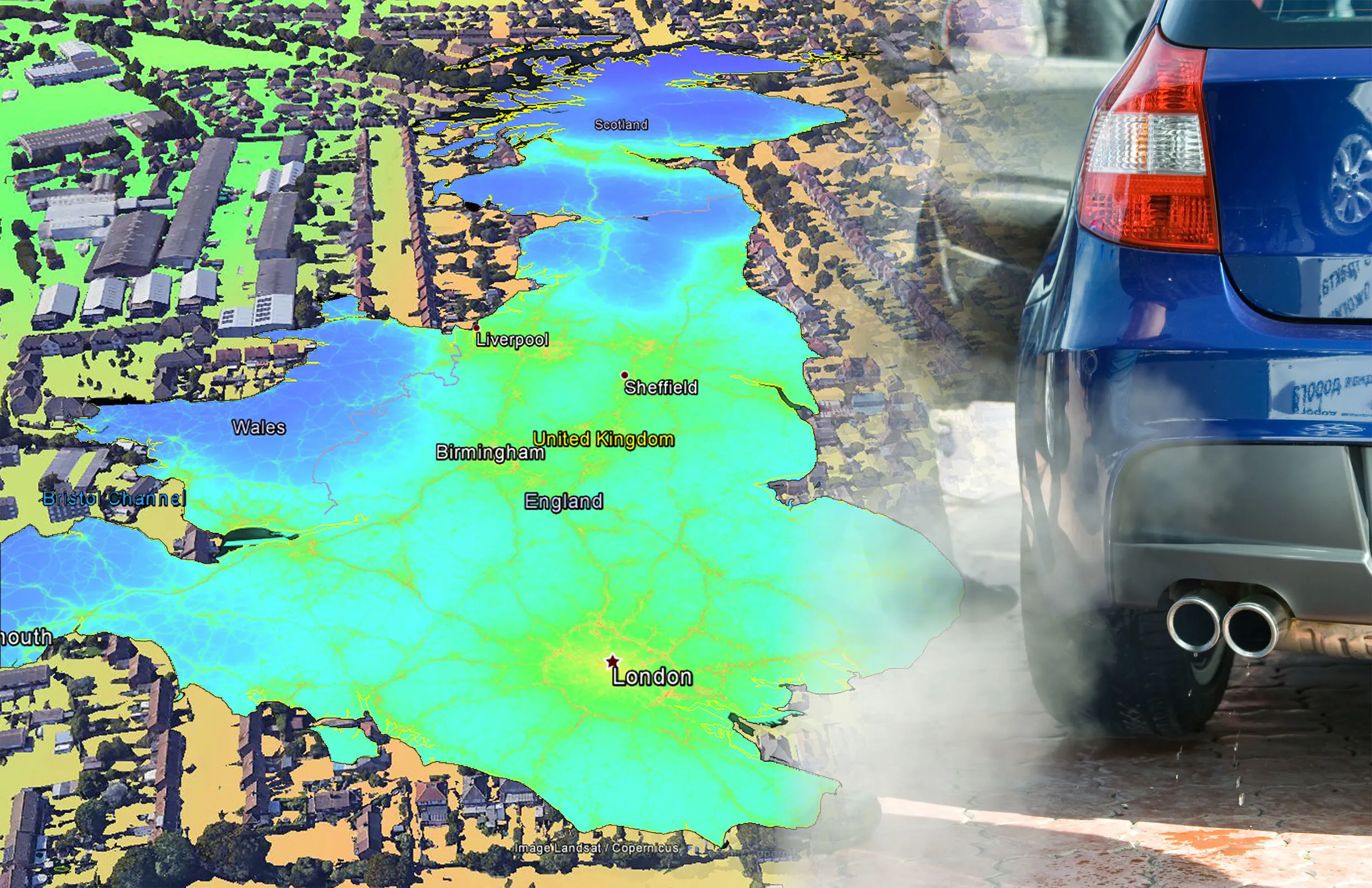
    EarthSense Systems has published MappAir, a high-resolution map of air pollution throughout the entire UK. MappAir shows how air pollution - specifically nitrogen dioxide - changes across the country and within towns and cities, highlighting likely sources and potential clean-air refuge areas. It combines data from satellites and its EarthSense Systems’ own air quality monitoring sensors along with open source data. The result, using complex modelling, creates a highly accurate map at 100m resolution, says
  • EarthSense Systems releases air pollution map of the UK
    June 26, 2018
    EarthSense Systems has published MappAir, a high-resolution map of air pollution throughout the entire UK MappAir shows how air pollution - specifically nitrogen dioxide - changes across the country and within towns and cities, highlighting likely sources and potential clean-air refuge areas. It combines data from satellites and its EarthSense Systems’ own air quality monitoring sensors along with open source data. The result, using complex modelling, creates a highly accurate map at 100m resolution, says
  • Fugro to use its ARAN system in Dutch surveying deal
    May 9, 2019
    Fugro, a geo-data specialist, is using the latest version of its Automatic Road Analyser (ARAN) in a new five-year pavement survey contract for Dutch highways. The contract, with an option to extend to 10 years, was awarded by the Dutch infrastructure agency Rijkswaterstaat. It includes the collection of surface condition and road measurement data from 8,600km of principal highways each year. The company’s Automatic Road Analyser - ARAN - which is adapted to meet European specifications and includes i