Topcon unveils Hybrid Robotic System

Topcon Positioning Group has unveiled its Hybrid Robotic System, featuring the new DS series robotic total station and the recently announced MAGNET v2.0 software suite, a Topcon enterprise solution for the geomatics industry. Other Topcon components in the cutting-edge HRS include the economical HiPer SR GNSS receiver and Tesla large-screen tablet controller. The new system combines GNSS positioning and robotic measurements with an automated data workflow to provide added versatility and efficiency for
January 21, 2014 Read time: 2 mins
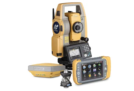
342 Topcon Positioning Group has unveiled its Hybrid Robotic System, featuring the new DS series robotic total station and the recently announced MAGNET v2.0 software suite, a Topcon enterprise solution for the geomatics industry.

Other Topcon components in the cutting-edge HRS include the economical HiPer SR GNSS receiver and 4071 Tesla large-screen tablet controller.

The new system combines GNSS positioning and robotic measurements with an automated data workflow to provide added versatility and efficiency for any measurement or layout job, regardless of job site conditions.

“Topcon’s Hybrid Positioning technology is an innovative and highly productive system that creates an integrated GNSS-robotic rover,” said Scott Langbein, director of product marketing for 7300 Topcon Positioning Systems (TPS).

“The DS robotic total station provides precise measurements anywhere the prism can be seen. When the rover is out of line of sight, GNSS positioning takes over by simply pressing MAGNET’s Hybrid Switch button on the controller,” said Langbein.

“With this versatile system, you can auto-track the prism, use network or an RTK connection,” he said. The system also utilises LongLink communications technology with the HiPer SR, which provides a wireless connection for data transfer, but “with an RTK solution for the HiPer SR, the system performs at maximum versatility on any size job,” added Langbein. If a network RTK solution is not available, using MAGNET Relay, a user can set up an individualised, mobile reference RTK base.

With MAGNET providing the link, the field and office can be connected to exchange files, receive and send messages from crews, and compile and send measurement data to the office.

Hybrid Positioning technology is compatible with other robotic instruments, including the Topcon PS, IS, QS, and Sokkia SX, as well as other GNSS receivers including the Topcon HiPer V, GR-5 (Vanguard), GRS-1 and the Sokkia GRX.

For more information on companies in this article

Related Content

  • Smooth sailing for paving with Topcon’s SmoothRide
    April 14, 2016
    Topcon Positioning Group’s new road scanning solution SmoothRide can gather highway asset data at highway speeds with no need for lane closures, crash trucks or escorts. SmoothRide is a vehicle-mounted resurfacing solution for paving and milling projects. It uses a combination of core Topcon technologies designed to deliver the smoothest surface possible, while efficiently managing the quantity of material for each project.
  • Efficient slipforming with Wirtgen
    May 15, 2019
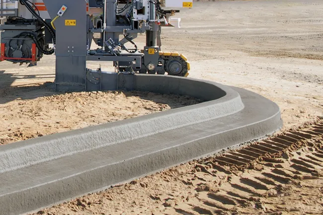
    A Kentucky concrete slipforming contractor is benefiting from new technology in optimising kerb and gutter work. Fox Enterprises now constructs offset kerb, gutter and parking lot island placements using an on-site guidance system. The system permits automated placement of those items, including tight radii. Its fleet recently expanded to include a larger slipform paver that can handle offset curb-and-gutter paving, but also inset pavement slab paving.
  • Leica Captivate Experience works with fifth generation of ATRplus
    August 17, 2015
    Leica Geosystems says its Leica Captivate Experience creates highly realistic 3D models that enables professionals to capture and manage complex data easily and accurately. With little more than a swipe, users can now navigate through customisable apps containing information for multiple projects. Advanced lining and coding provide an interactive 3D model where users can zoom, pan and orbit the rendering for optimal viewing and manipulation. “Leica Geosystems has taken a giant leap forward with Captiv
  • Bentley advances construction software technology
    December 19, 2016
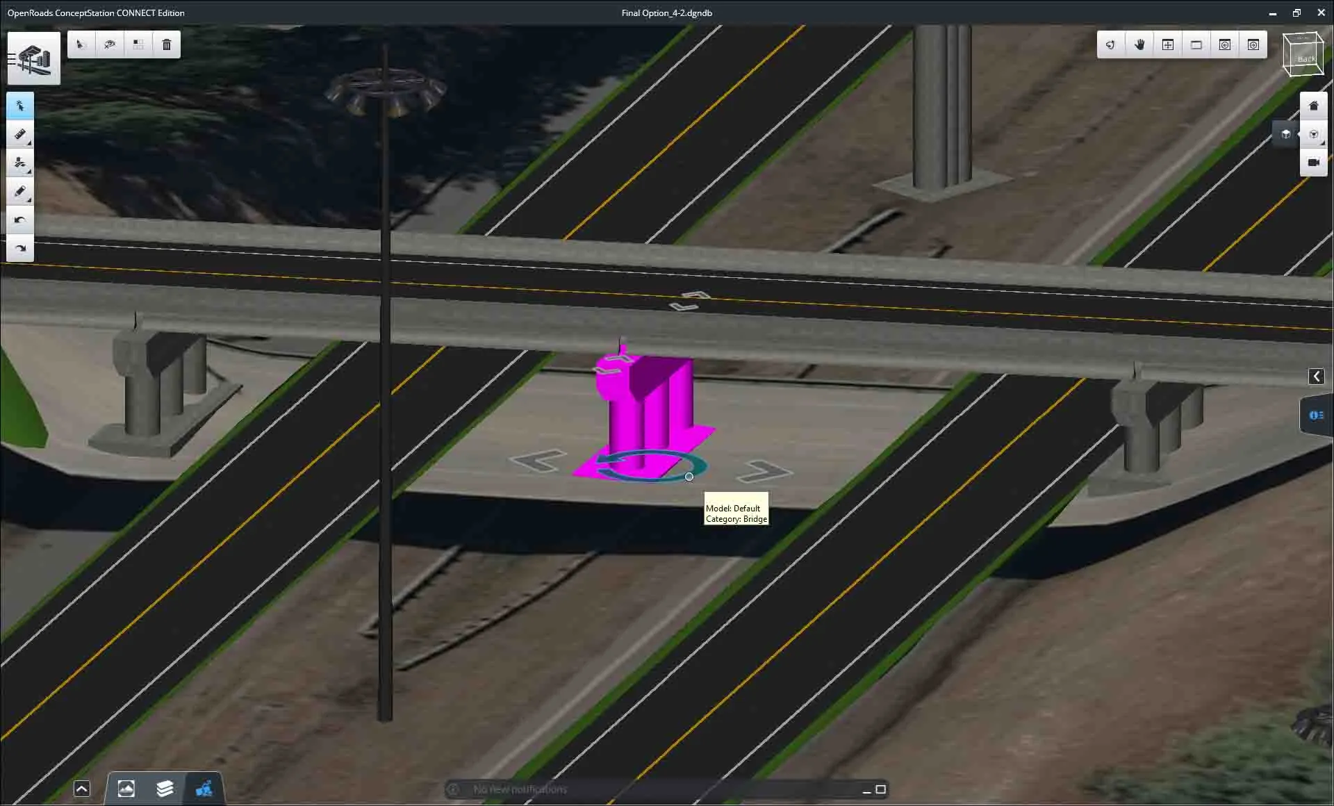
    Design and construction software specialist Bentley Systems is strengthening its position in the market with the introduction of new software advances as well as a series of strategic business moves. This allows the company to offer new solutions and technologies to its client base, as well as reaching out to new business segments The firm is introducing an array of powerful tools to the market. A key launch is for the OpenRoads Designer CONNECT Edition, which is the successor to Bentley’s well-proven an