Topcon to smoothen roads with SmoothRide system

Topcon Positioning has developed a sophisticated package that can help deliver better road surface quality. The firm’s latest SmoothRide data collection package is said to make the mapping of road conditions easier and more efficient. The new RD-M1 Collect 2.0 package has an improved interface and a new graphical interface status bar that indicates the optimum speed for collecting road information based on the project requirements.
February 28, 2018 Read time: 2 mins
342 Topcon Positioning has developed a sophisticated package that can help deliver better road surface quality. The firm’s latest SmoothRide data collection package is said to make the mapping of road conditions easier and more efficient. The new RD-M1 Collect 2.0 package has an improved interface and a new graphical interface status bar that indicates the optimum speed for collecting road information based on the project requirements.


The system provides a steady flow of information about the road surface as the lidar unit scans the whole width of the roadway continuously. The digital design model that is then generated is far more accurate as a result.

Topcon claims that the RD-M1 Collect 2.0 is designed to simplify setup and automatically detect the position of the sensor during data collection. By gathering data at a higher speed, the unit can deliver higher productivity while also delivering better results. The system has a new Memos tool that allows operators to places messages onto the map, while collecting data that also can be made visible in the processing software. This allows specific site conditions to be noted for future reference. Also new is the Manage Runs tool, which means the system can be used without having to open Windows Explorer. Operators can copy data onto a USB drive, delete the information from the hard drive, while the RD-M1 Collect 2.0 Plan Route feature allows for the import of kml files. By using the latest map downloader tool, machine operators can gain access to map details while collecting data, but without the need for an internet connection.

The firm says that using the system for scanning can create a high density point cloud, which the software can then simplify and use to generate a highly accurate digital terrain model. From that the user can develop a new project design, which can then be loaded onto construction equipment for machine guidance purposes.

For more information on companies in this article

Related Content

  • Construction trends in North America, looking to the future
    June 10, 2019
    Exciting changes in construction will reward the aware contractor - *Jeff Winke comments Hop in a car and drive anywhere in the US and chances are the drive will be on roads and highways that need patching, resurfacing, or widening, and bridges often show signs of needed maintenance. Sadly, things are in bad shape. On the last two report cards from the American Society of Civil Engineers, the US infrastructure scored a D+. This year’s report urges the government and private sector to increase spending
  • Commander shows versatility for GOMACO
    March 10, 2017
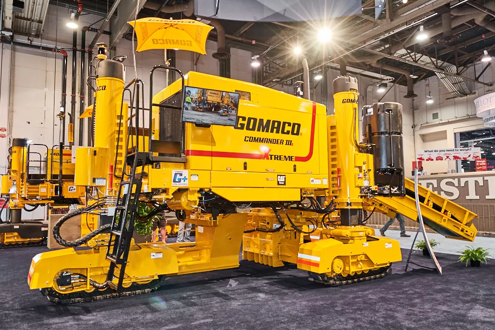
    GOMACO is offering a new solution for concrete slipforming at CONEXPO-CON/AGG 2017. The firm is increasing the versatility of its Commander III slipformer further with the development of the next generation machine and now offers it in three- as well as the original four-track configuration. The new three-track Commander IIIx has three tracks and can also be equipped with latest generation telematics technology.
  • BOMAG Advanced Pave, the digital co-pilot
    May 1, 2021
    BOMAG introduces its new generation of Universal and Highway class pavers
  • Transtec launches Command Center 2.0 for concrete monitoring
    February 27, 2017
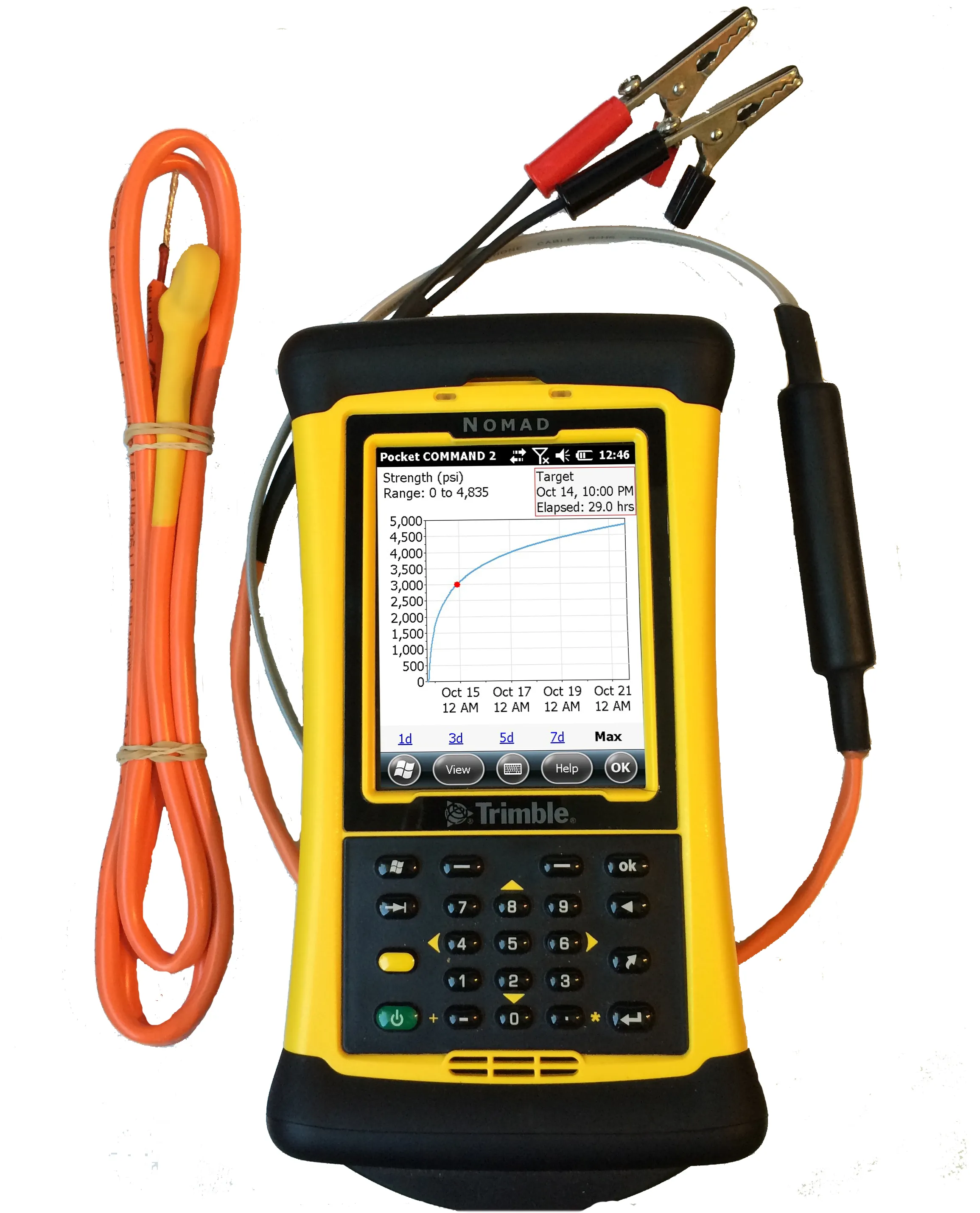
    Transtec Group has launched what it says is a powerful upgrade for concrete maturity and temperature monitoring. Command Center 2.0 (CC 2.0) includes updated desktop and mobile software, improved readers for data collection and a more durable, highly visible sensor cable.