Topcon to smoothen roads with SmoothRide system

Topcon Positioning has developed a sophisticated package that can help deliver better road surface quality. The firm’s latest SmoothRide data collection package is said to make the mapping of road conditions easier and more efficient. The new RD-M1 Collect 2.0 package has an improved interface and a new graphical interface status bar that indicates the optimum speed for collecting road information based on the project requirements.
February 28, 2018 Read time: 2 mins
342 Topcon Positioning has developed a sophisticated package that can help deliver better road surface quality. The firm’s latest SmoothRide data collection package is said to make the mapping of road conditions easier and more efficient. The new RD-M1 Collect 2.0 package has an improved interface and a new graphical interface status bar that indicates the optimum speed for collecting road information based on the project requirements.


The system provides a steady flow of information about the road surface as the lidar unit scans the whole width of the roadway continuously. The digital design model that is then generated is far more accurate as a result.

Topcon claims that the RD-M1 Collect 2.0 is designed to simplify setup and automatically detect the position of the sensor during data collection. By gathering data at a higher speed, the unit can deliver higher productivity while also delivering better results. The system has a new Memos tool that allows operators to places messages onto the map, while collecting data that also can be made visible in the processing software. This allows specific site conditions to be noted for future reference. Also new is the Manage Runs tool, which means the system can be used without having to open Windows Explorer. Operators can copy data onto a USB drive, delete the information from the hard drive, while the RD-M1 Collect 2.0 Plan Route feature allows for the import of kml files. By using the latest map downloader tool, machine operators can gain access to map details while collecting data, but without the need for an internet connection.

The firm says that using the system for scanning can create a high density point cloud, which the software can then simplify and use to generate a highly accurate digital terrain model. From that the user can develop a new project design, which can then be loaded onto construction equipment for machine guidance purposes.

For more information on companies in this article

Related Content

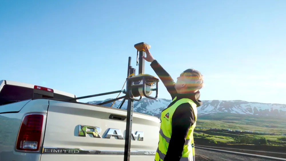
  • Technology from Topcon plays key role in resurfacing race track
    May 13, 2021
    Located in northern Iceland, Akureyri is the fourth largest town in the country, with a modest population of 19,000. The town is home to one of Iceland’s oldest car racing clubs, the Akureyri Car Club, which runs regular drag racing events. However, its popularity resulted in heavy wear and tear, which meant the quarter-of-a-mile drag race strip was in urgent need of an upgrade.
  • Asphalt paving advances for global markets
    October 27, 2022
    New asphalt paver designs for global markets are now being made available
  • New milling and stabilisation technology is coming to market
    May 29, 2013
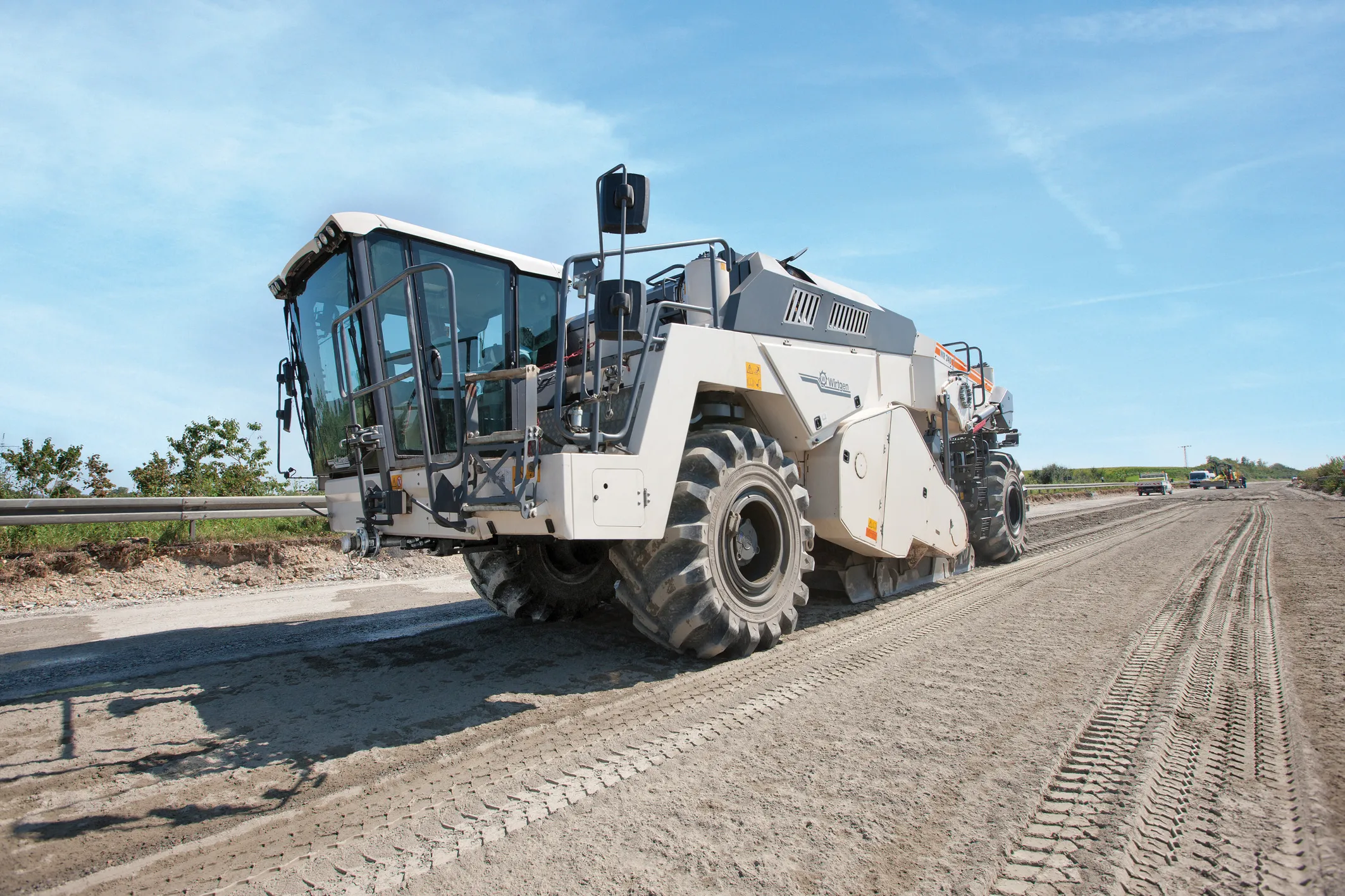
    An array of new developments in the market for road recycling and stabilisation machines as well as milling equipment is now on offer - Mike Woof reports. Major new developments are being seen in the sector for road recycling and stabilisation equipment, as well as milling machines. New models are coming to market that benefit from the latest low emission engine technology to meet the increasingly tough European and North American requirements.
  • SICK’s Free Flow Profiler scans vehicles on the move
    August 27, 2019
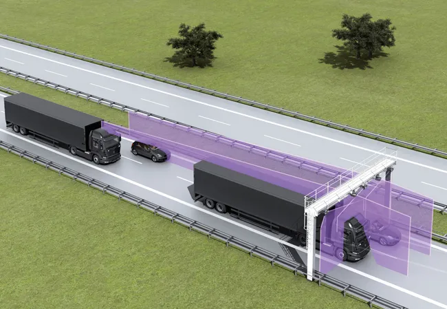
    SICK has launched the Free Flow Profiler vehicle measurement system that enables highly accurate 3D profiling of vehicles across multiple lanes in free-flow traffic The company says that the Free Flow Profiler is a “versatile and adaptable” all-weather system. It is “ideal for vehicle tolling and classification uses, especially useful in operations such as optimal weight loading of ferries or trains and for verifying vehicle dimensions to maximise revenue recovery”. During multilane, free road movem