Topcon offers compact digital imaging solution

Topcon claims that its new IP-S3 system offers a compact and lightweight 3D imaging solution. This high density system is said to be five times faster than previous generation tools, while weighing in at just 18kg. Scanning at 700,000 points/second, the system is said to offer data-rich results with its 30MP panoramic imagery and offers a mobile mapping powerhouse, according to the firm. The company says that this high-density and high-resolution camera comes in a unit that is much smaller than its predeces
February 2, 2015 Read time: 1 min

Topcon’s IP-S3 offers a smaller, lighter digital imaging solution
342 Topcon claims that its new IP-S3 system offers a compact and lightweight 3D imaging solution. This high density system is said to be five times faster than previous generation tools, while weighing in at just 18kg. Scanning at 700,000 points/second, the system is said to offer data-rich results with its 30MP panoramic imagery and offers a mobile mapping powerhouse, according to the firm. The company says that this high-density and high-resolution camera comes in a unit that is much smaller than its predecessors. The system is used with the Topcon Mobile Master Office software to carry out post-processing functions in a single application. And the company says that the Mobile Master Office software provides a comprehensive workflow in a single package, which can turn raw sensor data collected by the IP-S3 system into rich and precise point clouds and images.

For more information on companies in this article

Related Content

  • Topcon announces increased integration with Autodesk scanning software
    June 2, 2016
    Topcon Positioning Group has announced increased integration in the Autodesk and Topcon reality data workflow that it says is designed to increase project efficiency. Raw scan data from the Topcon GLS-2000 laser scanner can now be taken directly into Autodesk ReCap 360 and ReCap 360 Pro with no intermediate software conversion steps necessary. Topcon said that this integration is designed to streamline point cloud analysis to quickly identify conflicts, measure variations and make adjustments at vari
  • Software advances from around the globe
    April 24, 2013
    A quick look at various software development in highways – Adrian Greeman. Software for BIM processes, internet cloud based computing to link site and office, and the use of laser scan point-cloud data continue to be the central themes for major software suppliers in the road design area. Developments go hand in hand with the recent strategic agreements that firms like Autodesk and Bentley Systems have made with major survey companies, Topcon and Trimble respectively. The tie-ups, along with acquisitions, m
  • Accurate scanning
    February 6, 2012
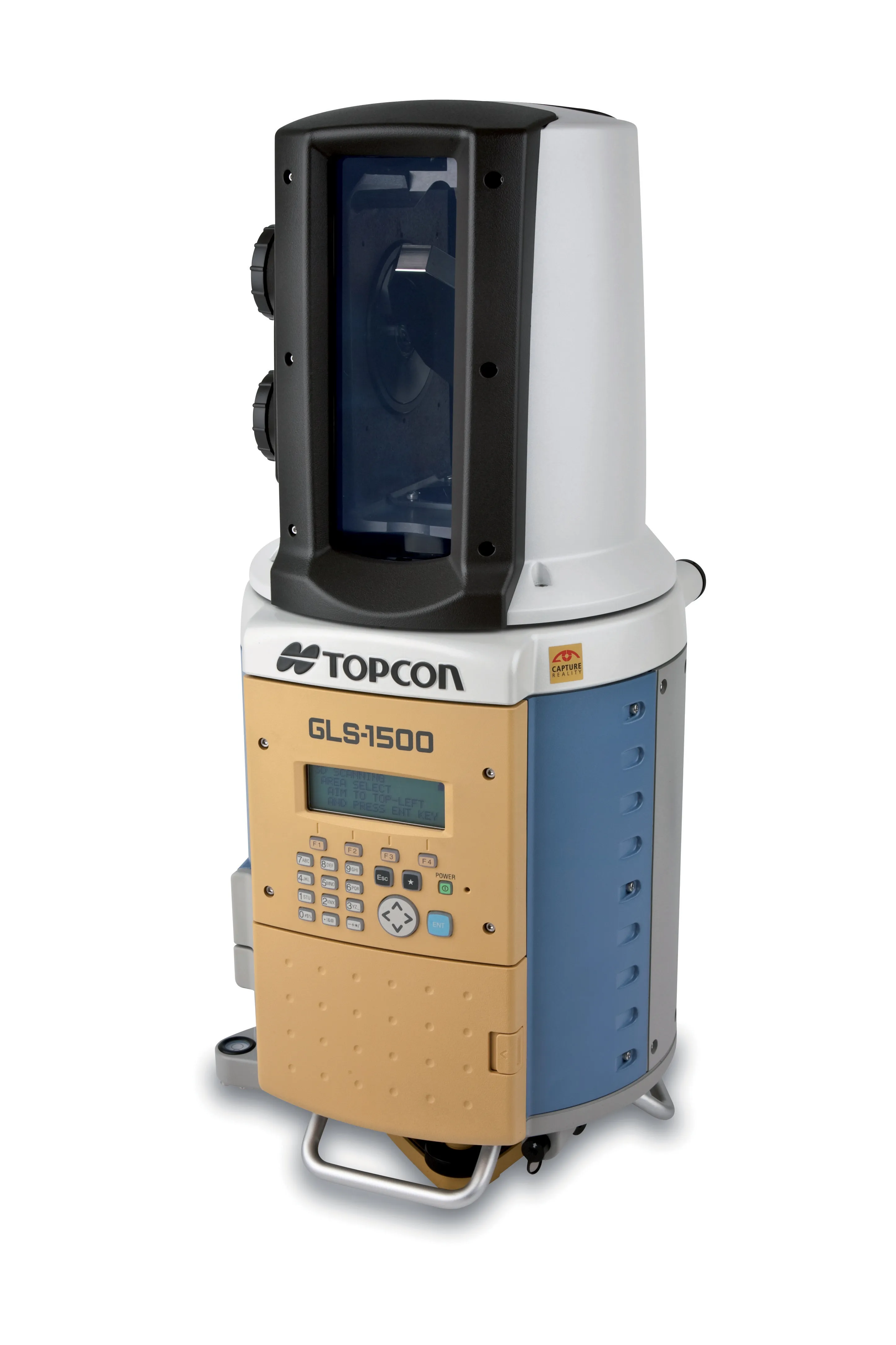
    TOPCON CLAIMS that its GLS- 1500 laser scanner speeds point cloud collection. This unit is 10 times faster than previous units and collects up to 30,000 points/second, reducing the amount of equipment needed in the field. The GLS-1500 offers a range of up to 330m and is designed for quick setup to save time and improve productivity.
  • Innovative GIS software offerings
    July 18, 2012
    The latest construction software developments can speed the construction process overall, Adrian Greeman reports Construction software is by its very nature a very fast moving technology, with new systems coming to the market almost continuously. There are some key developments however, such as major new product launches and market trends. One of the most important developments in the road design sector is the launch of the Bentley Systems V8i versions of its software, including its road design applications