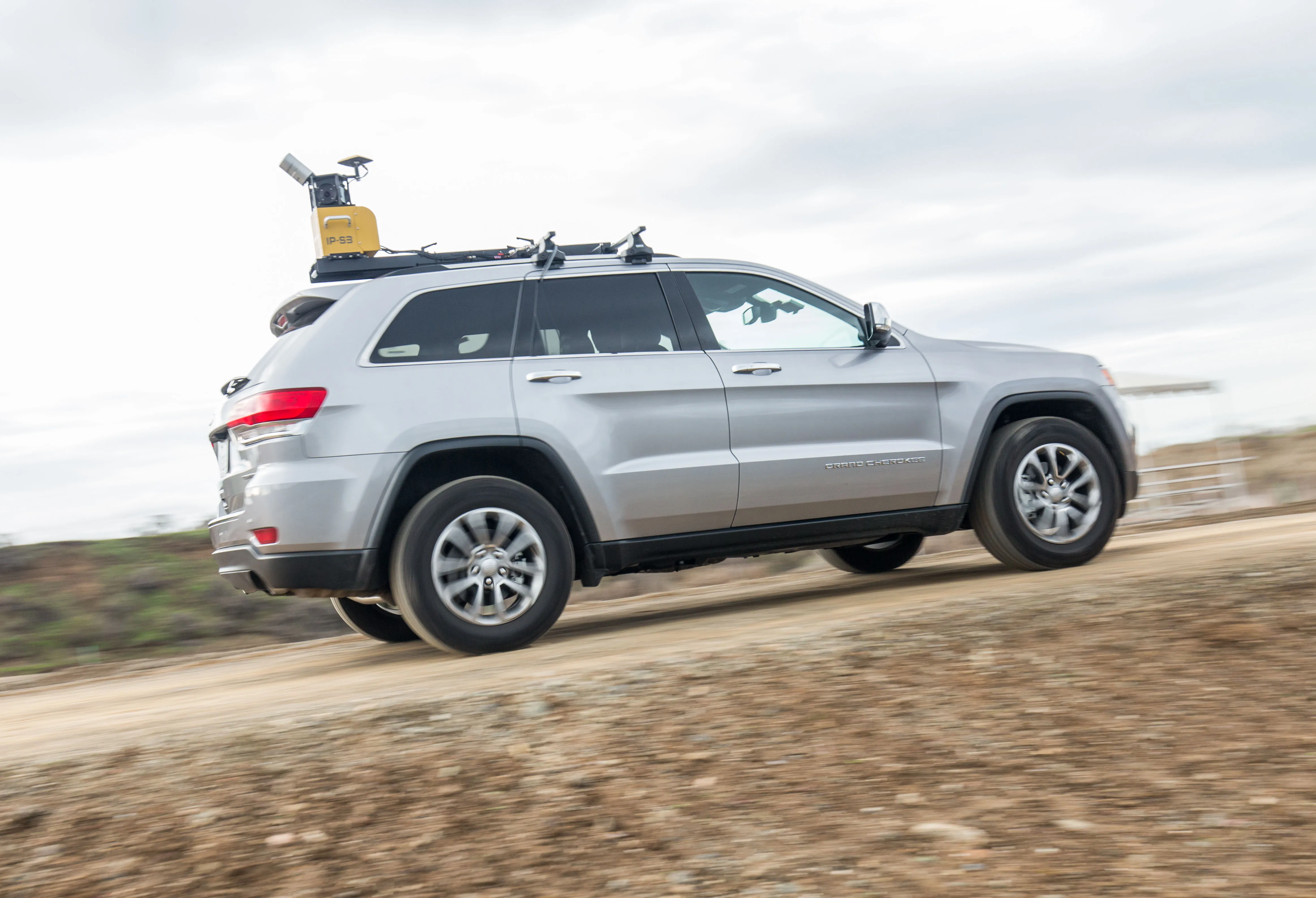
Topcon claims that its new IP-S3 system offers a compact and lightweight 3D imaging solution. This high density system is said to be five times faster than previous generation tools, while weighing in at just 18kg. Scanning at 700,000 points/second, the system is said to offer data-rich results with its 30MP panoramic imagery and offers a mobile mapping powerhouse, according to the firm. The company says that this high-density and high-resolution camera comes in a unit that is much smaller than its predeces