Topcon develops new dozer machine control package

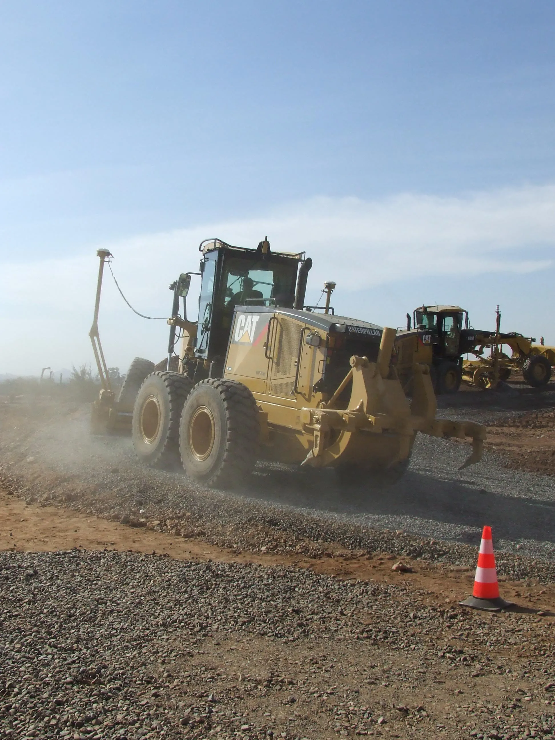
Topcon Positioning says that its latest indicate dozer machine control system, the i-53, comes with the latest Topcon GNSS receiver, graphical user interface, and machine control software. The firm claims that this package offers a versatile indicate dozer system for an affordable price. The system expands the Topcon dozer indicate product line by offering single GNSS plus single or dual axis slope sensor configurations for complete control of elevation and slope. The i-53 features the Topcon GX-55
March 15, 2016 Read time: 2 mins
342 Topcon Positioning says that its latest indicate dozer machine control system, the i-53, comes with the latest Topcon GNSS receiver, graphical user interface, and machine control software. The firm claims that this package offers a versatile indicate dozer system for an affordable price.  

The system expands the Topcon dozer indicate product line by offering single GNSS plus single or dual axis slope sensor configurations for complete control of elevation and slope.

The i-53 features the Topcon GX-55 control box with audible grade reference alarms and visual LED lights, as well as the new MC-i4 GNSS receiver. It has a bright screen and clear grade guidance features making it easy to use.

Communications for the machine are handled by the innovative MC-i4 GNSS receiver. This allows various radio configurations in one receiver for the Sitelink3D site management solution and/or network corrections. The firm says that by using slope sensors in an indicate system the system improves blade cutting edge position and angle, boosting the grading capabilities of the dozer.

Additional features include integrated virus protection and easy-access USB ports for saving and downloading job files.

For more information on companies in this article

Related Content

  • New Topcon mobile apps expand job site connectivity
    March 11, 2014
    Topcon Positioning Group has announced the addition of two new mobile applications during Conexpo 2014. Available for download on the Apple App Store, Topcon Tierra™ and Sitelink3D mobile apps are designed to offer on-the-go remote connections to equipment and job sites. 
 
The Topcon Tierra mobile app lets customers login with their existing passwords and track their equipment fleets from an iPhone or iPad. "The Topcon Tierra app allows users to easily check on their fleets, fences, productivity reports
  • Machine guidance and asset management aid fleet utilisation
    July 16, 2012
    Integrating Caterpillar's latest machine guidance and asset management tools offers efficiency gains for contractors in a competitive market. Mike Woof reports Caterpillar has been a leader in the development of GPS machine control systems through its partnership with Trimble. The manufacturer has rolled out a series of AccuGrade packages for various machines in its line-up, starting with the dozers and graders and then spreading to other machines such as scrapers, excavators and soil compactors. Caterpilla
  • GPS delivers accurate real time depth control
    July 13, 2012
    The novel EZ Dig Pro system offers real-time depth control for excavators and backhoe loaders. This package is said to provide precise grade control for digging a fixed depth or a slope and it boosts safety as there is no need for anyone going into the excavation to check depth. Applications include use in trenching and drainage ditches along roadways, as well as footings and foundation depths and cut-and-cover applications for a fixed depth for utilities.
  • Road construction software innovations
    February 13, 2012
    A range of key software innovations are now available for road construction applications from various suppliers - Adrian Greeman writes. Two significant and highly economic alternatives are now available to the major CAD providers both from Belgium and both offering interesting features. First is Pythagoras, which describes itself as a modern CAD program specially designed for topographical applications which include land surveying, road design and city planning.