Topcon develops new dozer machine control package

Topcon Positioning says that its latest indicate dozer machine control system, the i-53, comes with the latest Topcon GNSS receiver, graphical user interface, and machine control software. The firm claims that this package offers a versatile indicate dozer system for an affordable price. The system expands the Topcon dozer indicate product line by offering single GNSS plus single or dual axis slope sensor configurations for complete control of elevation and slope. The i-53 features the Topcon GX-55
March 15, 2016 Read time: 2 mins
342 Topcon Positioning says that its latest indicate dozer machine control system, the i-53, comes with the latest Topcon GNSS receiver, graphical user interface, and machine control software. The firm claims that this package offers a versatile indicate dozer system for an affordable price.  

The system expands the Topcon dozer indicate product line by offering single GNSS plus single or dual axis slope sensor configurations for complete control of elevation and slope.

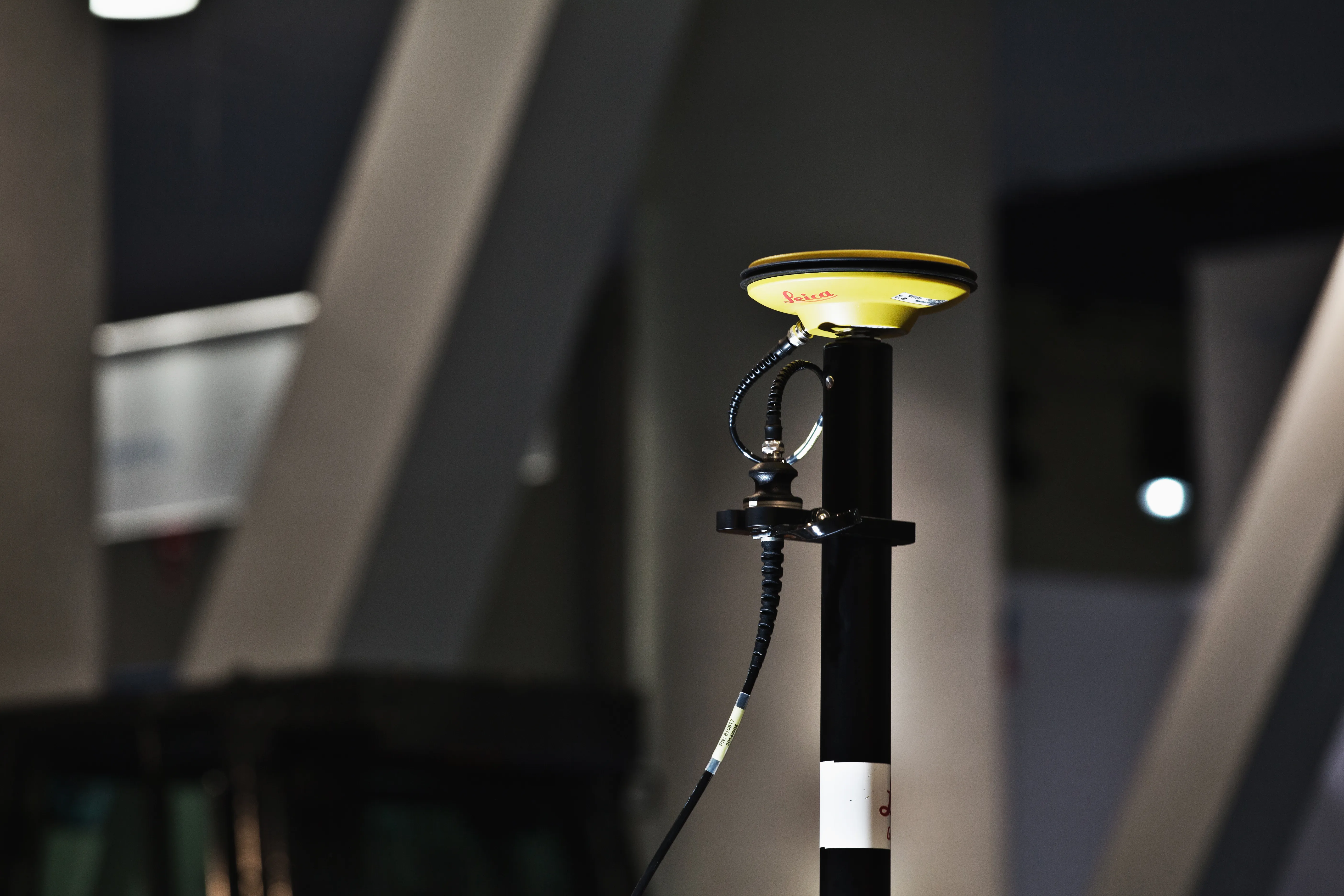
The i-53 features the Topcon GX-55 control box with audible grade reference alarms and visual LED lights, as well as the new MC-i4 GNSS receiver. It has a bright screen and clear grade guidance features making it easy to use.

Communications for the machine are handled by the innovative MC-i4 GNSS receiver. This allows various radio configurations in one receiver for the Sitelink3D site management solution and/or network corrections. The firm says that by using slope sensors in an indicate system the system improves blade cutting edge position and angle, boosting the grading capabilities of the dozer.

Additional features include integrated virus protection and easy-access USB ports for saving and downloading job files.

For more information on companies in this article

Related Content

  • Positioning tools continue to improve
    July 16, 2012
    Topcon says that its new IP-S2 package combines GNNS positioning capabilities with inertial sensors, while the firm also has a solution for customers wanting to mix and match receiver components. The IP-S2 is a vehicle-mounted, mobile 3D tool that offers precision mapping and surveying capabilities. The package collects data using 3D laser scanners, LIDAR, and/or cameras, and this is then integrated, time-stamped and geo-referenced. The customer can use this assembled data to combine LIDAR point cloud and d
  • Leica iCON grade iGD4 increases dozer functionality
    January 6, 2017
    The Leica iCON grade iGD4 solution which enables one dozer to do multiple types of grading work with speed and accuracy was launched has been launched at Conexpo 2014. The highly accurate and efficient iCON grade iGD4 dozer solution calculates the lift, angle, and tilt of the dozer’s six-way blade. It allows operators to angle their blade while iCON grade’s advanced hydraulic control system automatically controls the blade’s lift and tilt. As a result, dozers can now be run at the full extent of their capa
  • Leica iCON grade iGD4 increases dozer functionality
    March 6, 2014
    The Leica iCON grade iGD4 solution which enables one dozer to do multiple types of grading work with speed and accuracy was launched has been launched at Conexpo 2014. The highly accurate and efficient iCON grade iGD4 dozer solution calculates the lift, angle, and tilt of the dozer’s six-way blade. It allows operators to angle their blade while iCON grade’s advanced hydraulic control system automatically controls the blade’s lift and tilt. As a result, dozers can now be run at the full extent of their capa
  • Accurate scanning
    February 6, 2012
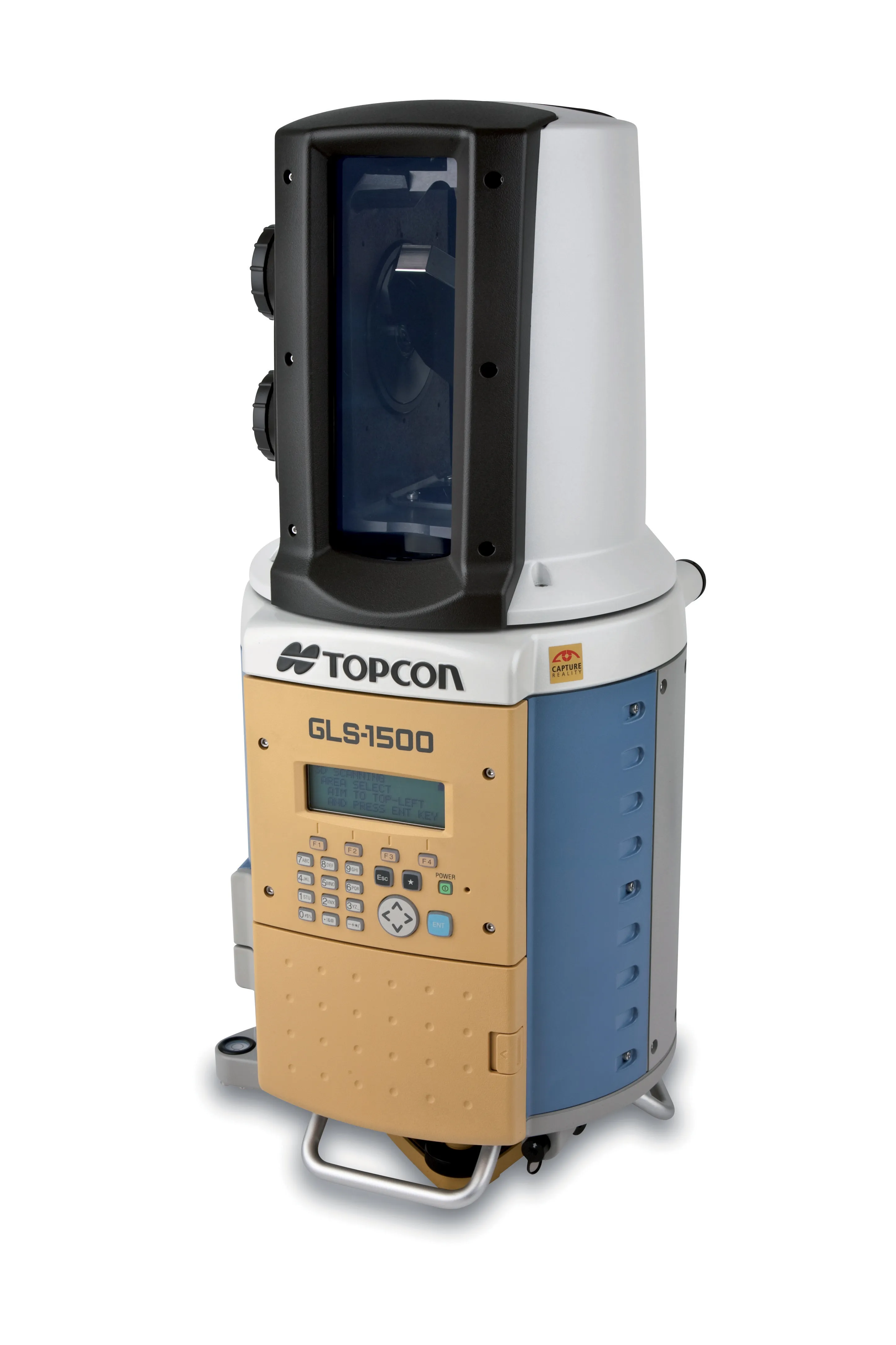
    TOPCON CLAIMS that its GLS- 1500 laser scanner speeds point cloud collection. This unit is 10 times faster than previous units and collects up to 30,000 points/second, reducing the amount of equipment needed in the field. The GLS-1500 offers a range of up to 330m and is designed for quick setup to save time and improve productivity.