Topcon and Bentley join forces to model reality

Topcon Positioning and Bentley Systems are introducing the product of their joint development project at CONEXPO-CON/AGG 2017, a reality modelling software solution.
March 8, 2017 Read time: 2 mins
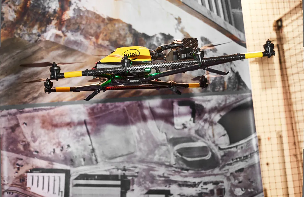
Topcon and Bentley have jointly developed a modelling system for use with drones

342 Topcon Positioning and 4019 Bentley Systems are introducing the product of their joint development project at CONEXPO-CON/AGG 2017, a reality modelling software solution. The Topcon ContextCapture package is powered by Bentley Systems and will be offered with Topcon unmanned aerial systems (UAS). The system has been designed for use in mapping, construction and surveying.

It allows users to quickly turn simple photographs or point cloud data into true-to-life, highly detailed 3D models for use throughout a project lifecycle.

The package includes Topcon ContextCapture Standard and Topcon ContextCapture Advanced products. Charles Rihner, vice president of the Topcon GeoPositioning Solutions Group said, “The standard package will be bundled with Falcon 8 and Sirius Basic/Pro and allows operators to process data from these UAS into textured 3D reality meshes, point clouds and orthophotos. ContextCapture Advanced allows users to process data from any UAS. It also includes ContextCapture Editor, which enables operators to take advantage of all project data by integrating reality meshes and point clouds, into infrastructure workflows. The result is access to a wide variety of reality modelling tools to help increase productivity.”

The ContextCapture Advanced integration includes CAD, inspection, GIS, civil engineering, and survey workflows on desktop and mobile devices, in multiple formats. This technology allows users to start from a reality-captured survey context and update digital engineering models throughout the construction process, finally delivering the as-built infrastructure in real time.

For more information on companies in this article

Related Content

  • In control, with advanced technology
    August 15, 2019
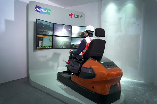
    Machine control technology continues to advance, with new systems offering contractors major gains in working efficiency The latest developments in machine control technology once again push the bar in terms of advancements. The latest systems allow contractors to work even more effectively and efficiently than before. Doosan has unveiled one of the first uses globally of 5G technology to remotely control construction and quarrying machines. The firm has coined the term ‘TeleOperation’ to describe the
  • Rebuilding the busy Frankfurt Airport in Germany
    September 12, 2017
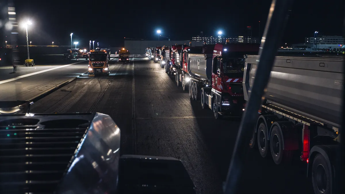
    Handling up to 450 take-offs/day, Runway West is Frankfurt Airport’s busiest runway. Over 50% of the aircraft taking off from the airport uses Runway West, and a point worth noting is that this German airport is one of the busiest in Europe. In 2016, Frankfurt Airport handled nearly 61 million passengers, surpassed by Schiphol in Amsterdam and Charles de Gaulle in Paris, Europe’s third and second busiest airports respectively. Meanwhile London’s Heathrow remained Europe’s busiest airport
  • Topcon offers the potential for smoother roads
    May 11, 2018
    An improved package from Topcon Positioning will allow upgrades in road surface quality. The firm is launching an upgrade to its SmoothRide data collection software. This new RD-M1 Collect 2.0 package includes updates that make the mapping of road conditions easier and more efficient. The improved interface is designed to simplify setup and automatically detect the position of the wheel sensor during data collection.