Topcon and Bentley join forces to model reality

Topcon Positioning and Bentley Systems are introducing the product of their joint development project at CONEXPO-CON/AGG 2017, a reality modelling software solution.
March 8, 2017 Read time: 2 mins
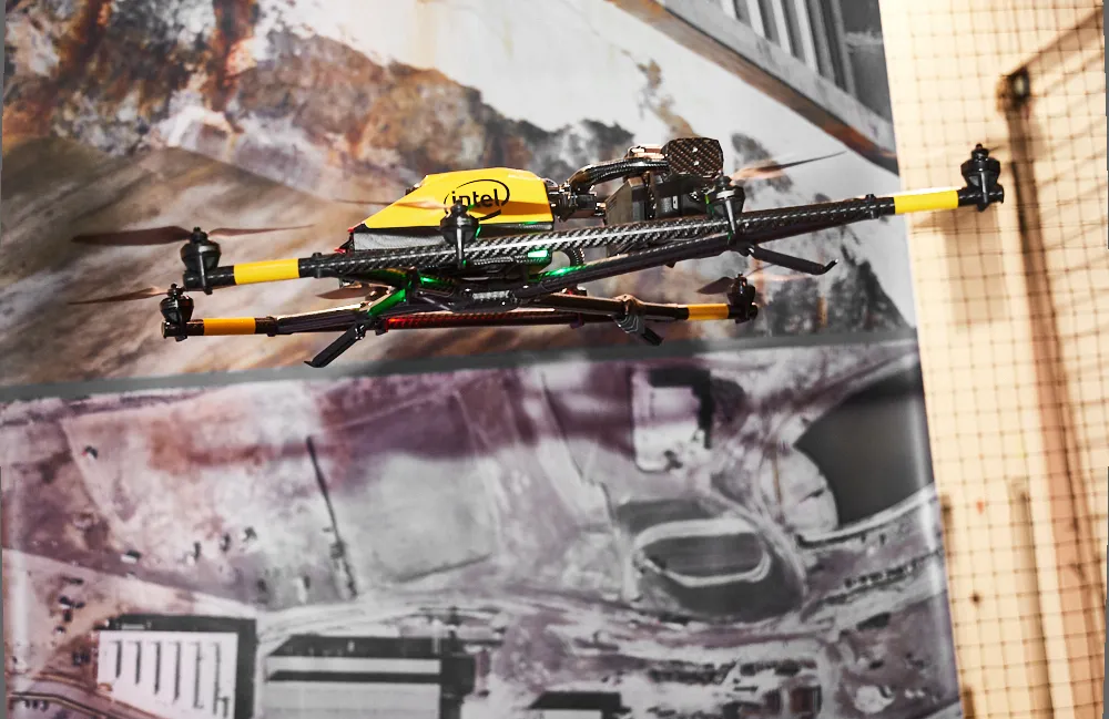
Topcon and Bentley have jointly developed a modelling system for use with drones

342 Topcon Positioning and 4019 Bentley Systems are introducing the product of their joint development project at CONEXPO-CON/AGG 2017, a reality modelling software solution. The Topcon ContextCapture package is powered by Bentley Systems and will be offered with Topcon unmanned aerial systems (UAS). The system has been designed for use in mapping, construction and surveying.

It allows users to quickly turn simple photographs or point cloud data into true-to-life, highly detailed 3D models for use throughout a project lifecycle.

The package includes Topcon ContextCapture Standard and Topcon ContextCapture Advanced products. Charles Rihner, vice president of the Topcon GeoPositioning Solutions Group said, “The standard package will be bundled with Falcon 8 and Sirius Basic/Pro and allows operators to process data from these UAS into textured 3D reality meshes, point clouds and orthophotos. ContextCapture Advanced allows users to process data from any UAS. It also includes ContextCapture Editor, which enables operators to take advantage of all project data by integrating reality meshes and point clouds, into infrastructure workflows. The result is access to a wide variety of reality modelling tools to help increase productivity.”

The ContextCapture Advanced integration includes CAD, inspection, GIS, civil engineering, and survey workflows on desktop and mobile devices, in multiple formats. This technology allows users to start from a reality-captured survey context and update digital engineering models throughout the construction process, finally delivering the as-built infrastructure in real time.

For more information on companies in this article

Related Content

  • Bentley’s point cloud innovation for information modelling in road design
    August 22, 2013
    Latest software packages from Bentley Systems will help optimise project design and construction efficiency – Mike Woof reports Software systems have come a long way in helping optimise construction projects from design through construction to delivery. And the latest software from Bentley Systems offers additional capabilities for road design applications. Bentley Systems is offering the V8i (SELECTseries 3) versions of its InRoads, GEOPAK, and MXROAD products. All of the products now share the
  • Bentley's iTwin Experience, Capture and IoT
    November 24, 2022
    Bentley Systems has launched iTwin Experience, iTwin Capture and iTwin IoT to improve the performance of its digital twin analysis platform iTwin.
  • Bentley boosts its OpenRoads CONNECT construction software
    November 1, 2016
    Construction software solutions provider Bentley Systems announced that its OpenRoads Designer CONNECT Edition will be available from December. OpenRoads CONNECT Edition is the successor to Bentley’s civil engineering brands InRoads, GEOPAK, MX, and PowerCivil. OpenRoads Designer is a multi-discipline 3D modeling application for roadway projects from conceptual design through construction stages. Bentley Systems said that it “blends traditional engineering workflows for plan, profile and cross-section
  • Smarter software from Trimble
    May 8, 2019
    Trimble has introduced version 5.0 of Trimble Business Center. This merges two products, Trimble Business Center and Business Center - HCE, to provide surveying and civil construction customers with a complete office software solution. The combined software enables data interoperability between survey and construction workflows for more efficiency, time savings and data quality. The firm says that the package simplifies workflows and licensing for its customers, saving them time and money by providing a