Topcon and Bentley join forces to model reality

Topcon Positioning and Bentley Systems are introducing the product of their joint development project at CONEXPO-CON/AGG 2017, a reality modelling software solution.
March 8, 2017 Read time: 2 mins
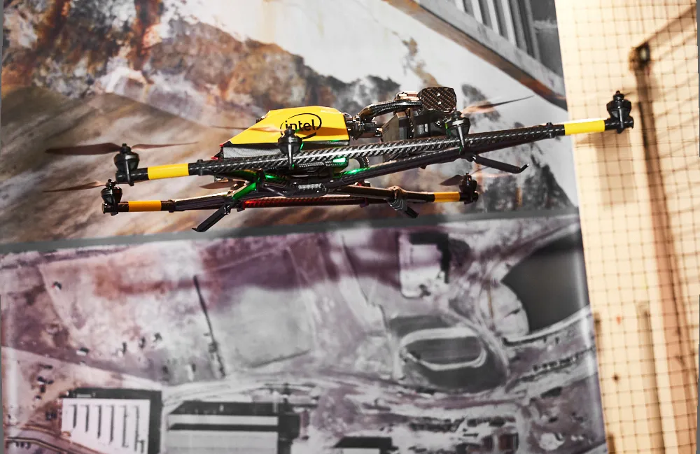
Topcon and Bentley have jointly developed a modelling system for use with drones

342 Topcon Positioning and 4019 Bentley Systems are introducing the product of their joint development project at CONEXPO-CON/AGG 2017, a reality modelling software solution. The Topcon ContextCapture package is powered by Bentley Systems and will be offered with Topcon unmanned aerial systems (UAS). The system has been designed for use in mapping, construction and surveying.

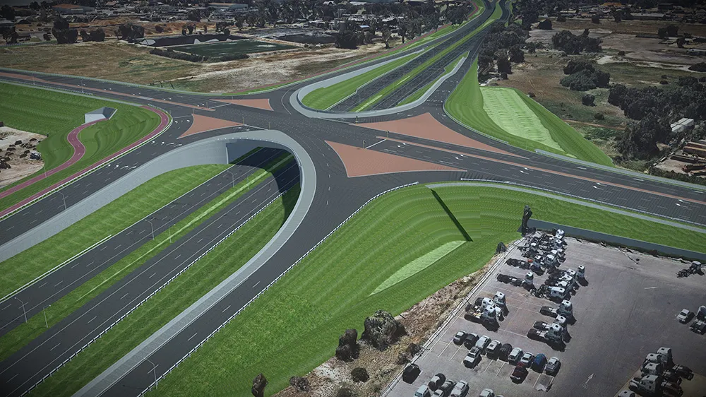
It allows users to quickly turn simple photographs or point cloud data into true-to-life, highly detailed 3D models for use throughout a project lifecycle.

The package includes Topcon ContextCapture Standard and Topcon ContextCapture Advanced products. Charles Rihner, vice president of the Topcon GeoPositioning Solutions Group said, “The standard package will be bundled with Falcon 8 and Sirius Basic/Pro and allows operators to process data from these UAS into textured 3D reality meshes, point clouds and orthophotos. ContextCapture Advanced allows users to process data from any UAS. It also includes ContextCapture Editor, which enables operators to take advantage of all project data by integrating reality meshes and point clouds, into infrastructure workflows. The result is access to a wide variety of reality modelling tools to help increase productivity.”

The ContextCapture Advanced integration includes CAD, inspection, GIS, civil engineering, and survey workflows on desktop and mobile devices, in multiple formats. This technology allows users to start from a reality-captured survey context and update digital engineering models throughout the construction process, finally delivering the as-built infrastructure in real time.

For more information on companies in this article

Related Content

  • Software tools aid construction, reduce costs
    February 28, 2012
    Integrated construction software offers an effective planning solution - *Mark Nichols writes. In a world where resources are limited, 20 year designing and building in a sustainable way is more critical than ever. By employing today's software tools it is possible to reduce the total cost of construction of a new highway, while reducing operating costs and environmental impacts. The path to achieving the greatest gains is to take a holistic approach to the plan, design, construct and operate process from t
  • Positioning tools continue to improve
    July 16, 2012
    Topcon says that its new IP-S2 package combines GNNS positioning capabilities with inertial sensors, while the firm also has a solution for customers wanting to mix and match receiver components. The IP-S2 is a vehicle-mounted, mobile 3D tool that offers precision mapping and surveying capabilities. The package collects data using 3D laser scanners, LIDAR, and/or cameras, and this is then integrated, time-stamped and geo-referenced. The customer can use this assembled data to combine LIDAR point cloud and d
  • Digital transformation is delivering digital adoption
    August 15, 2023
    Digital transformation is key for transportation agencies and their partners to do their jobs better and faster. One way to do this is through digital delivery using digital models, data, and supporting field tools for roadway design, structures design, and construction, say the tech experts at Bentley Systems.
  • Highway design software developments
    February 21, 2012
    New advanced software is being released for use by those involved in highway design as Adrian Greeman reports. The growing importance of BIM, building or project information modelling, as a design and construction process, and not just 3D modelling, is the driving force for the latest 2012 versions of Autodesk's comprehensive range of software for civil engineers. This is reflected in a new packaging of its various software tools into suites (along the lines of Microsoft's office suites) tailored to variou