Topcon and Bentley join forces to model reality

Topcon Positioning and Bentley Systems are introducing the product of their joint development project at CONEXPO-CON/AGG 2017, a reality modelling software solution.
March 8, 2017 Read time: 2 mins
Topcon and Bentley have jointly developed a modelling system for use with drones

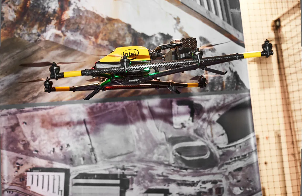
342 Topcon Positioning and 4019 Bentley Systems are introducing the product of their joint development project at CONEXPO-CON/AGG 2017, a reality modelling software solution. The Topcon ContextCapture package is powered by Bentley Systems and will be offered with Topcon unmanned aerial systems (UAS). The system has been designed for use in mapping, construction and surveying.

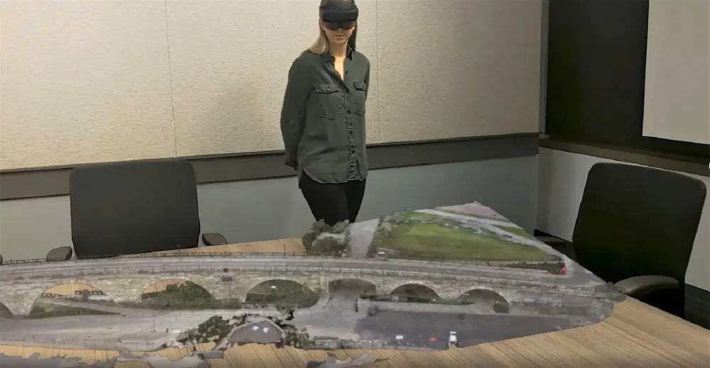
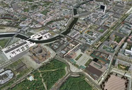
It allows users to quickly turn simple photographs or point cloud data into true-to-life, highly detailed 3D models for use throughout a project lifecycle.

The package includes Topcon ContextCapture Standard and Topcon ContextCapture Advanced products. Charles Rihner, vice president of the Topcon GeoPositioning Solutions Group said, “The standard package will be bundled with Falcon 8 and Sirius Basic/Pro and allows operators to process data from these UAS into textured 3D reality meshes, point clouds and orthophotos. ContextCapture Advanced allows users to process data from any UAS. It also includes ContextCapture Editor, which enables operators to take advantage of all project data by integrating reality meshes and point clouds, into infrastructure workflows. The result is access to a wide variety of reality modelling tools to help increase productivity.”

The ContextCapture Advanced integration includes CAD, inspection, GIS, civil engineering, and survey workflows on desktop and mobile devices, in multiple formats. This technology allows users to start from a reality-captured survey context and update digital engineering models throughout the construction process, finally delivering the as-built infrastructure in real time.

For more information on companies in this article

Related Content

  • Award-winning road and bridge design software
    March 20, 2012
    The integration of software tools, users and data was an important factor in a major highway project The giant High Five interchange in Texas, USA, emerged as a key winner in Bentley Systems' software awards this year. It won both the Innovation in Road and Bridge category and, significantly, Connecting Project Teams. The awards, a feature of the annual exhibition/conference organised by the software house, attract increasing interest from industry, and competition has become widespread, not least bec
  • Protecting bridge assets over time
    September 1, 2021
    One of the challenges facing transportation agencies today is how to conduct accurate, timely, and safe bridge inspections. Maintaining bridges is important to ensure public safety, and bridge owners and engineers need to perform regular inspections to determine the structural integrity of bridges so that they can plan for maintenance, rehabilitation, and replacement of those bridges.
  • Data handling for efficient machine control
    October 16, 2012
    The rapid increase in information availability is transforming the construction sector. Conventional methods used for sourcing geographic data based on maps and localised sampling meant that there was often a lack of accurate information relating to ground conditions at specific areas where work was planned, often resulting in unwelcome surprises for construction companies along with additional costs for projects.
  • Software innovations aid road design
    February 24, 2012
    As an aid to design, construction software continues to be a foundation stone in new project development. Autodesk is working with the Incheon Free Economic Zone (IFEZ) and the Incheon Urban Development Corporation (IUDC) to cooperate in the creation of Asia's first Digital City for Incheon.