Topcon and Bentley join forces to model reality

Topcon Positioning and Bentley Systems are introducing the product of their joint development project at CONEXPO-CON/AGG 2017, a reality modelling software solution.
March 8, 2017 Read time: 2 mins
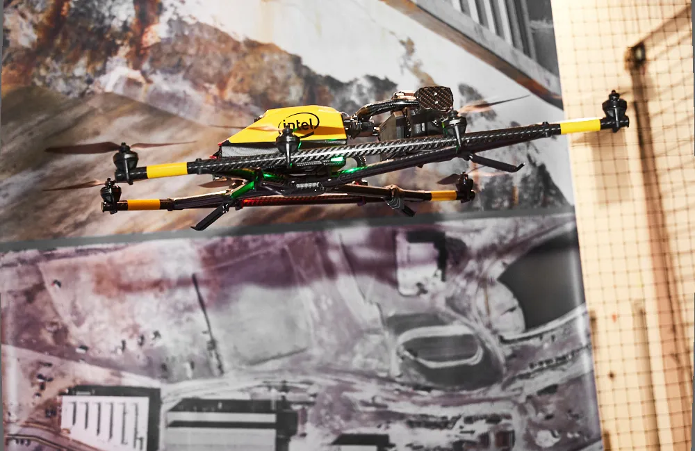
Topcon and Bentley have jointly developed a modelling system for use with drones

342 Topcon Positioning and 4019 Bentley Systems are introducing the product of their joint development project at CONEXPO-CON/AGG 2017, a reality modelling software solution. The Topcon ContextCapture package is powered by Bentley Systems and will be offered with Topcon unmanned aerial systems (UAS). The system has been designed for use in mapping, construction and surveying.

It allows users to quickly turn simple photographs or point cloud data into true-to-life, highly detailed 3D models for use throughout a project lifecycle.

The package includes Topcon ContextCapture Standard and Topcon ContextCapture Advanced products. Charles Rihner, vice president of the Topcon GeoPositioning Solutions Group said, “The standard package will be bundled with Falcon 8 and Sirius Basic/Pro and allows operators to process data from these UAS into textured 3D reality meshes, point clouds and orthophotos. ContextCapture Advanced allows users to process data from any UAS. It also includes ContextCapture Editor, which enables operators to take advantage of all project data by integrating reality meshes and point clouds, into infrastructure workflows. The result is access to a wide variety of reality modelling tools to help increase productivity.”

The ContextCapture Advanced integration includes CAD, inspection, GIS, civil engineering, and survey workflows on desktop and mobile devices, in multiple formats. This technology allows users to start from a reality-captured survey context and update digital engineering models throughout the construction process, finally delivering the as-built infrastructure in real time.

For more information on companies in this article

Related Content

  • Generate real-world ROI with reality modeling!
    September 8, 2022
    Understanding existing site conditions is essential to efficiently design, build, and operate road networks around the world. But how can the real-world be captured quickly and cost-effectively?
  • Topcon partnership for photogrammetry
    December 7, 2015
    Topcon Positioning is establishing a new partnership for photogrammetry technology. The deal has been struck with digital photogrammetric solution provider Agisoft. This move will further expand the Topcon portfolio of solutions for mass data collection (MDC). Agisoft is a leader in the processing of digital imagery for generating high-accuracy 3D spatial data using photogrammetric and computer vision techniques. Topcon will provide the Agisoft Photogrammetric Kit for Topcon – Professional Edition software
  • Topcon’s SIRIUS PRO is new mapping essential
    May 19, 2014
    Topcon Positioning Group has launched in Europe the Topcon SIRIUS PRO powered by MAVinci, an Unmanned Aerial System (UAS) designed to produce the most accurate solutions for automated mapping of construction sites, pipelines, disaster areas, mines, quarries and myriad sites without regard to terrain.
  • Topcon and Bentley: integration between MAGNET 4.0 and ProjectWise
    June 7, 2016
    Topcon Positioning Group and Bentley Systems have set up direct communication between Bentley’s design applications and Topcon mobile work force products with the upcoming MAGNET 4.0 release. With the direct communication from MAGNET Enterprise to Bentley’s ProjectWise, users of Topcon’s family of MAGNET and 3D-MC software solutions can now, while working in the field, access or receive i-models created by Bentley’s OpenRoads design modeling technology. By the end of June, survey data and as-built