
Taming traffic in urban areas

The success of the motor car as a form of transport is also proving its undoing. In urban areas around the world, passenger cars clog the roads and add to air pollution. Reducing urban traffic congestion is being seen as a priority in many cities. French capital Paris has had a number of car-free days, which has more recently been replicated in Scotland’s capital, Edinburgh. Looking ahead, the plan by Edinburgh’s local authority is to cut city centre traffic by 30% in 10 years. Congestion charging has bee
August 15, 2019 Read time: 3 mins
The success of the motor car as a form of transport is also proving its undoing. In urban areas around the world, passenger cars clog the roads and add to air pollution.


Reducing urban traffic congestion is being seen as a priority in many cities. French capital Paris has had a number of car-free days, which has more recently been replicated in Scotland’s capital, Edinburgh. Looking ahead, the plan by Edinburgh’s local authority is to cut city centre traffic by 30% in 10 years.

Congestion charging has been implemented in some cities, such as Singapore, Stockholm and London. It is now being discussed seriously as a forward plan for many US cities, most notably for Los Angeles, Boston, Chicago and New York. This is of note given the general road transport focus in the US, and particularly in Los Angeles, perhaps the most car-centric of all US cities.

But the rise of home deliveries and ride sharing have represented a growing proportion of urban vehicle journeys. Other solutions for managing traffic and vehicle pollution are being proposed and used.

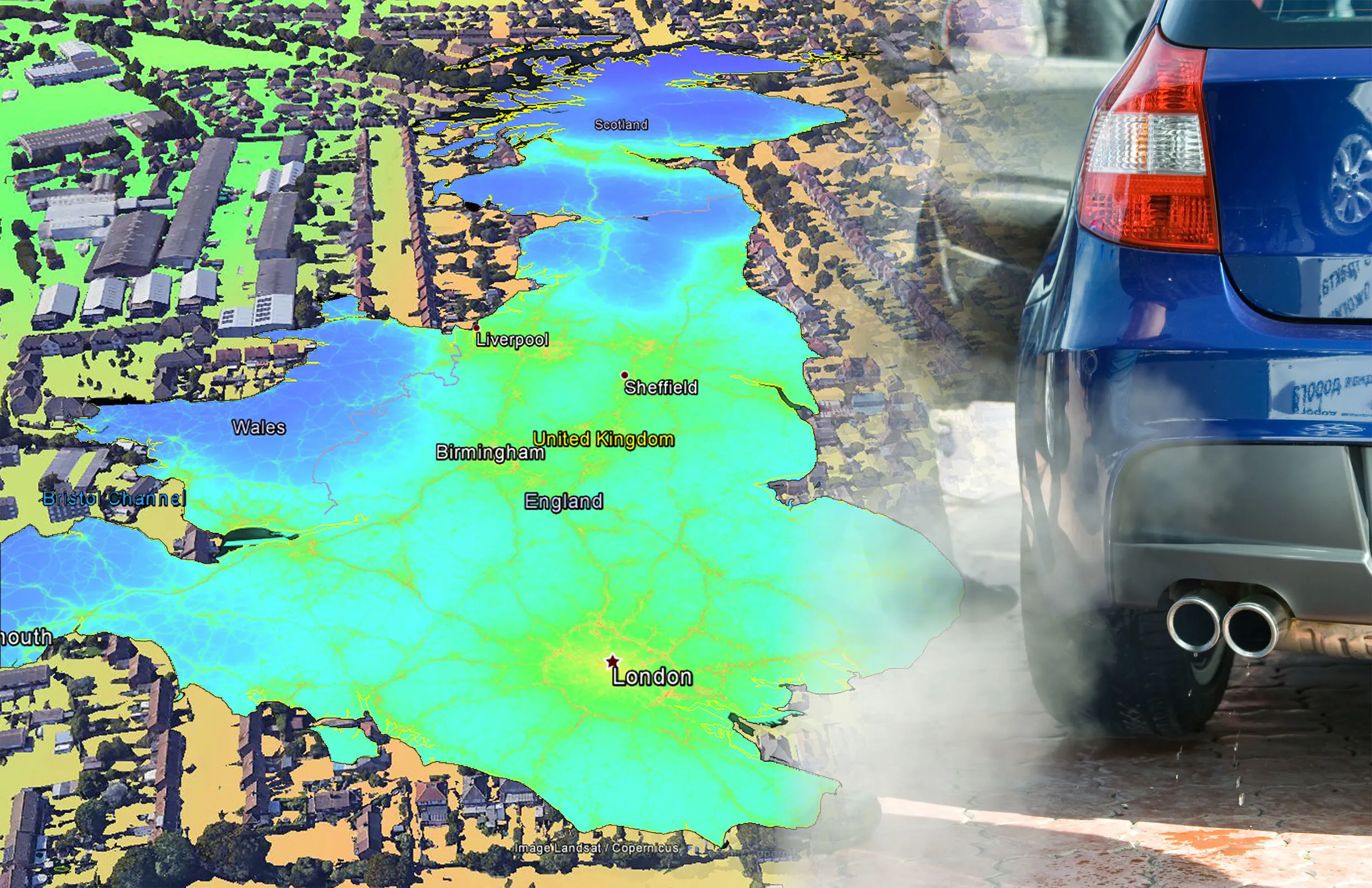
The recent introduction of the ultra-low emission zone (ULEZ) for London has riled many vehicle owners in the city. This requires drivers to use more recent vehicles, or pay a daily charge. Intended to cut pollution, the ULEZ is a determined effort to reduce pollution in the city. It came in response to research showing the poor air quality in the city and the detrimental effect this has to public health. The research showed shockingly high air pollution levels at many London schools for example. The ULEZ at present relates to the centre of the city only, but will be expanded considerably in 2021.

Certainly, air pollution is a challenge to public health. One study showed in 2016, over 6 million children in the US were suffering from asthma, with traffic pollution being a primary cause. According to the World Health Organization, asthma is the most common chronic disease in childhood.

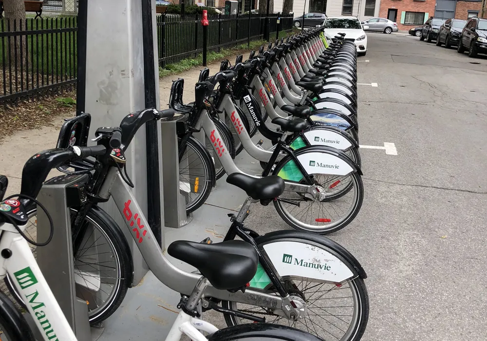
Encouraging drivers to use other transport methods is crucial, although this highlights the need for extensive public transport. Cycling too is a key option for shorter range journeys.

Looking ahead, distance charging for vehicle use will come in time. The steady increase in numbers of electric vehicles (EVs) means that fuel taxation will provide minimal revenue for road development. And when this happens, a vital tool has to be recognised: vehicle weight. Any fair road user charging scheme should use vehicle weight to determine cost. This is because road wear increases exponentially with vehicle weight, and vehicle weight also corresponds broadly to both the space a vehicle takes up in the road and (for internal combustion vehicles) the fuel being consumed and emissions produced.

Related Content

  • Congestion improves with high occupancy toll lanes
    February 21, 2012
    The potential for high occupancy toll (HOT) lanes in congested US cities offers further room for development, according to US-based transport expert Bob Poole of the Reason Foundation. At present Atlanta, Dallas, Houston, San Diego, San Francisco and Seattle all feature HOT lanes and Poole believes that the nation's capital, Washington DC, could benefit from a similar approach.
  • Riding the sustainable cycle
    October 5, 2020
    It’s taken a while in North America, but “vehicular cycling” has been replaced by “sustainable cycling”, says transportation engineer Tyler Golly.
  • EarthSense Systems releases air pollution map of the UK
    June 15, 2018
    EarthSense Systems has published MappAir, a high-resolution map of air pollution throughout the entire UK. MappAir shows how air pollution - specifically nitrogen dioxide - changes across the country and within towns and cities, highlighting likely sources and potential clean-air refuge areas. It combines data from satellites and its EarthSense Systems’ own air quality monitoring sensors along with open source data. The result, using complex modelling, creates a highly accurate map at 100m resolution, says
  • EarthSense Systems releases air pollution map of the UK
    June 26, 2018
    EarthSense Systems has published MappAir, a high-resolution map of air pollution throughout the entire UK MappAir shows how air pollution - specifically nitrogen dioxide - changes across the country and within towns and cities, highlighting likely sources and potential clean-air refuge areas. It combines data from satellites and its EarthSense Systems’ own air quality monitoring sensors along with open source data. The result, using complex modelling, creates a highly accurate map at 100m resolution, says