Surveying software

A new CAD-based package is available for surveying and job site information editing and plotting from Topcon Europe Positioning. Called SurveyMaster Lite, this software is a cost-efficient surveying office package suited to cadastral surveying and construction stakeout duties. The product has been developed from Topcon's SurveyMaster software program, SurveyMaster Lite and features survey specific
February 6, 2012 Read time: 1 min
A new CAD-based package is available for surveying and job site information editing and plotting from 342 Topcon Europe Positioning. Called SurveyMaster Lite, this software is a cost-efficient surveying office package suited to cadastral surveying and construction stakeout duties. The product has been developed from Topcon's SurveyMaster software program, SurveyMaster Lite and features survey specific functions as well as surface modelling and contouring tools. According to Topcon this new package offers tools required to produce survey calculations for property surveys, topographic maps and ALTA surveys. The package is designed so users can manage data from raw format all the way through to a finished plot. Survey calculations can be completed and uploaded to the field collector for stakeout and field verification. Its features include a field-to-finish solution with automatic line connectivity, synchronisation with TopSURV & Pocket 3D, uncomplicated plotting, an interactive raw data editor, customisable data entry/editors, traverse adjustments and contouring and surface file editing.

For more information on companies in this article

Related Content

  • Rigorous testing for high performance materials
    February 9, 2012
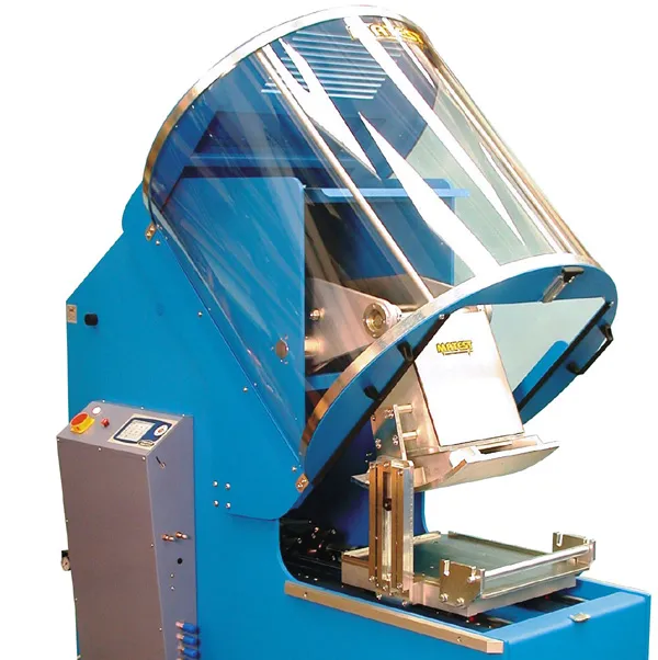
    Today’s highways require high performance materials, and this means rigorous testing as Patrick Smith reports Highways are under greater pressure than ever today and asphalts have to grant high performances in order to withstand traffic and meet the standards. Studying the plastic permanent deformations in hot mix asphalt (HMA) is very important to obtain useful information for mix designers as an appropriate mix design will reduce the formation of unevenness on road surface. To investigate the effect of mi
  • Leica Geosystems’ tools for site monitoring and handling GPR data
    October 11, 2017
    Leica Geosystems is offering new tools for construction firms for remote monitoring and for handling data from ground penetrating radar. With the GeoMoS Imaging package, users can stay up-to-date on remote monitoring; the live view allows observation and recording of areas of interest. A joystick provides remote access to the total station so that personnel can increase productivity and reduce time in the field.
  • Transtec launches Veta 6 software
    July 22, 2020
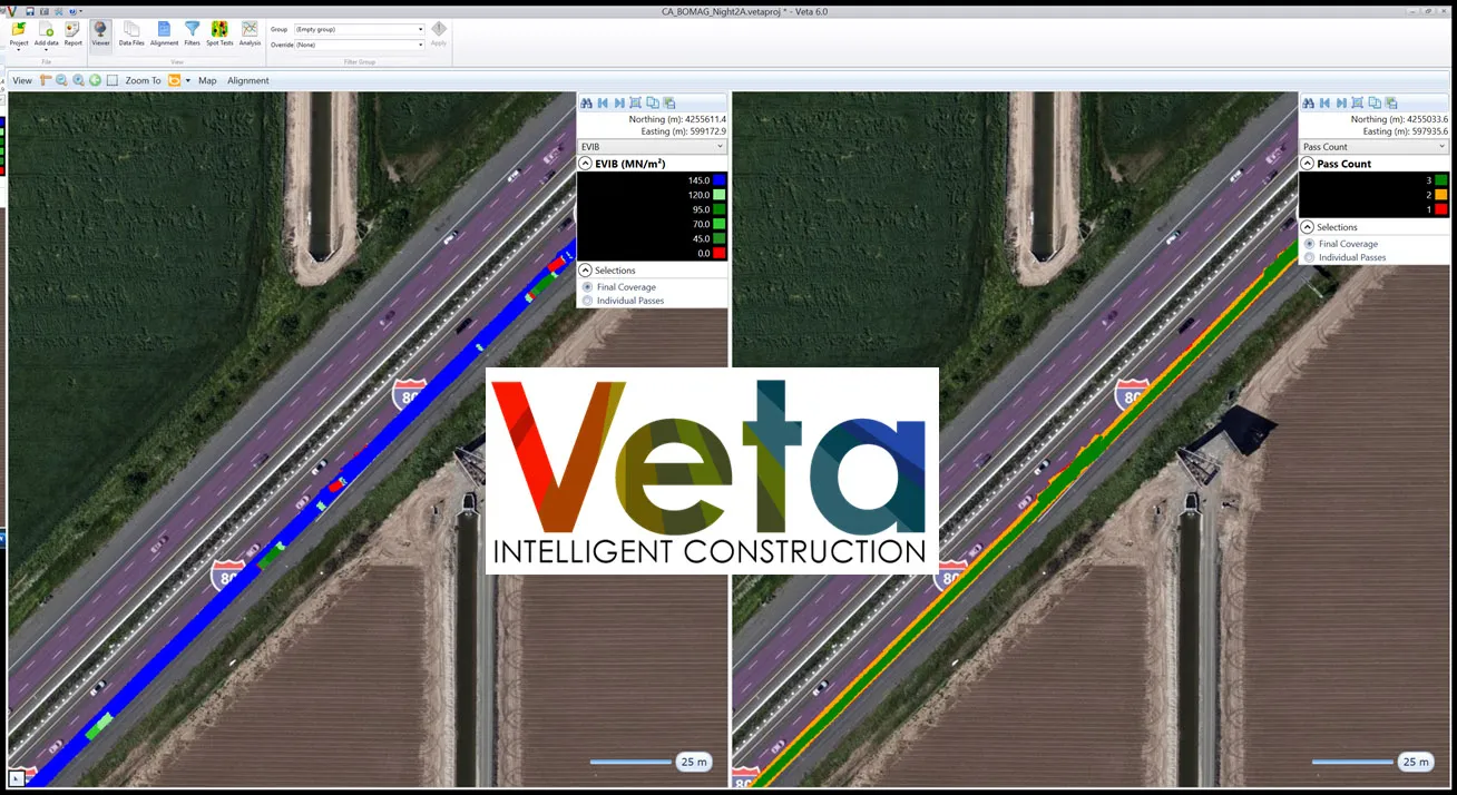
    Veta 6 enhances usability and expands features included with previous versions.
  • Automatic control
    February 7, 2012
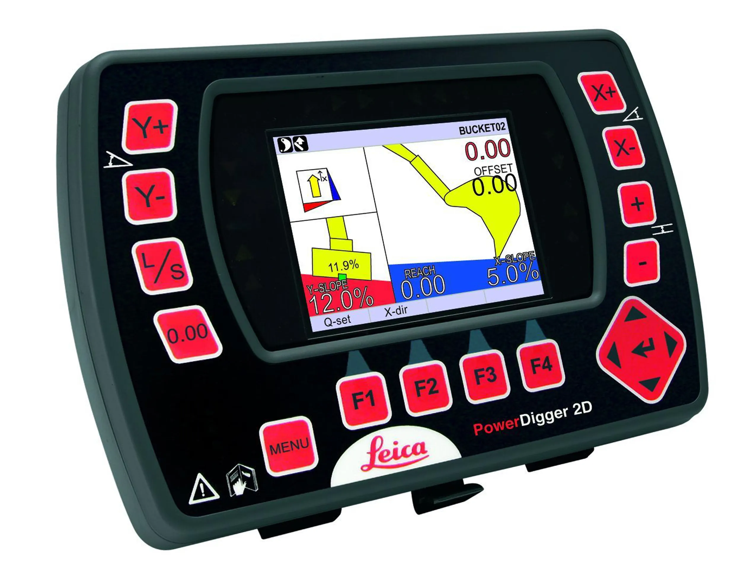
    Leica Geosystems says that sophisticated PowerDigger 2D guidance system for excavators offers automatic slope control. The system expands on its PowerSnap technology and is said to make excavating easier and more productive. The system uses a standard panel whether fitted to a dozer, excavator or grader, which is also said to save money on training and equipment, as well as reducing down time. Leica PowerDigger 2D system allows multiple elevations and slopes to be constructed at any orientation, witho