Surveying software

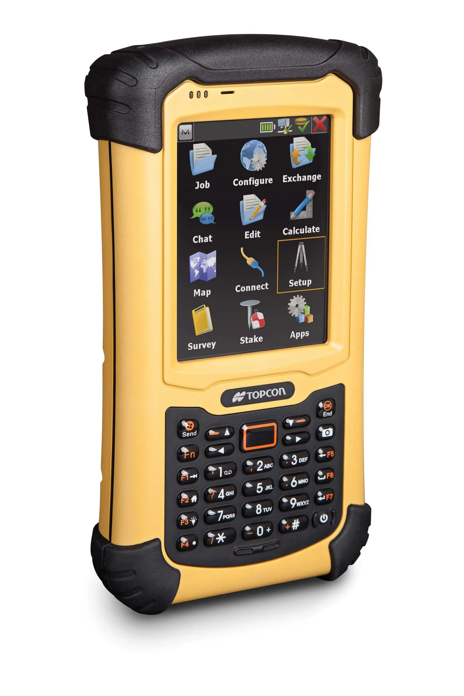
A new CAD-based package is available for surveying and job site information editing and plotting from Topcon Europe Positioning. Called SurveyMaster Lite, this software is a cost-efficient surveying office package suited to cadastral surveying and construction stakeout duties. The product has been developed from Topcon's SurveyMaster software program, SurveyMaster Lite and features survey specific
February 6, 2012 Read time: 1 min
A new CAD-based package is available for surveying and job site information editing and plotting from 342 Topcon Europe Positioning. Called SurveyMaster Lite, this software is a cost-efficient surveying office package suited to cadastral surveying and construction stakeout duties. The product has been developed from Topcon's SurveyMaster software program, SurveyMaster Lite and features survey specific functions as well as surface modelling and contouring tools. According to Topcon this new package offers tools required to produce survey calculations for property surveys, topographic maps and ALTA surveys. The package is designed so users can manage data from raw format all the way through to a finished plot. Survey calculations can be completed and uploaded to the field collector for stakeout and field verification. Its features include a field-to-finish solution with automatic line connectivity, synchronisation with TopSURV & Pocket 3D, uncomplicated plotting, an interactive raw data editor, customisable data entry/editors, traverse adjustments and contouring and surface file editing.

For more information on companies in this article

Related Content

  • Machine control innovations
    February 15, 2012
    THE RECENT CONEXPO-CON/AGG exhibition has seen the launch of a wealth of new machine control technologies - Mike Woof reports A fast pace of technological development in the machine control sector is seeing new innovations come to market at regular intervals. The developments remain focussed on the three main technology suppliers to this market, Leica Geosystems, Topcon and Trimble, offereng a combination of systems using machine control based on GPS, total station, sonic units and industrial inertial gu
  • Topcon unveils FC-336 date controller
    March 27, 2014
    Topcon has unveiled its new FC-336 data controller designed specifically for the construction industry. In addition to providing field crews with access to MAGNET Enterprise to send and receive data files, the new controller operates with Topcon MAGNET Field, Site and Layout software, as well as Topcon Pocket 3D. A compact and lightweight handheld controller, the FC-336 works with all Topcon GNSS receivers and total stations.
  • Software innovations
    June 22, 2012
    New developments in the software sector will improve construction efficiency. Standards organisation BSI is working with government, industry bodies, and private construction practices to create best practice standards for implementing Building Information Modelling (BIM). In 2011 the UK Government announced that all suppliers that wish to bid for public sector construction contracts must use BIM tools and techniques from 2016, making its implementation commercially critical for companies that wish to apply
  • GPS machine control improves construction accuracy
    February 29, 2012
    The latest GPS systems will improve the accuracy of many construction operations. Mike Woof reports. The pace of technological advancement is fast in the GPS market. Despite a market downturn, the GPS solution providers continue to invest in research and development. And there is evidence to suggest that the contracting sector is more keen than ever to employ the latest technology because of the cost benefits this can bring.