Surveying accurately

Spectra Precision says that its EPOCH 35 system benefits from the latest GPS and GLONASS technology to provide accurate cadastral, topographic, control and stakeout survey applications. Said to be reliable and cost-effective, the EPOCH 35 GNSS system includes a base, rover, field software, data collector, and radio. The rover features integrated Bluetooth capability, an internal radio modem and battery. For North America, the system operates with the proven TDS Survey Pro field software while for other mark
July 18, 2012 Read time: 1 min
Riegl's sophisticated V-Line range includes interfaces for GPS, networking and mobile operation together with high precision time stamping
2373 Spectra Precision says that its EPOCH 35 system benefits from the latest GPS and GLONASS technology to provide accurate cadastral, topographic, control and stakeout survey applications. Said to be reliable and cost-effective, the EPOCH 35 GNSS system includes a base, rover, field software, data collector, and radio. The rover features integrated Bluetooth capability, an internal radio modem and battery. For North America, the system operates with the proven TDS Survey Pro field software while for other markets, the system runs the Spectra Precision Field Surveyor package. For RTK surveying, the base system can include a choice of radio modems with either a long or short range data link from the base to the rover. In addition, Network RTK is also supported by simply connecting to an external data-capable cellular modem. Back at the office, surveyors can use the Spectra Precision Office Software for post-processing and quality control.

For more information on companies in this article

Related Content

  • McCloskey launches new 'powerhouse' J4 jaw crusher 
    October 26, 2022
    McCloskey International has unveiled the latest entry into its jaw crusher line in the European market, the heavy-duty J4.
  • A winter wonderland for Vaisala’s MD30 sensor
    November 18, 2019
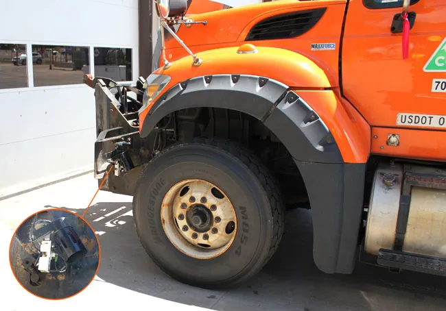
    Accurately measuring road network conditions in real time requires rugged and durable mobile sensor technology, writes Rose Parisi* Monitoring road conditions is critical to performing efficient and effective maintenance that reduces risks posed by hazardous driving conditions. This is most critical during winter. Road weather information systems (RWIS) help support road maintenance decision-making through the measurement of atmosphere and pavement conditions. However, due to the static location and
  • Free modeling: Improving efficiency in construction- site management
    July 24, 2025
    Liebherr’s innovative Free Modeling technology enables road-construction operators to create and modify simple 3D site models directly from their machinery, enhancing real-time decision-making.
  • New machines boost concrete paving performance and accuracy
    July 21, 2015
    New concrete paving machines offer greater versatility as well as performance – Mike Woof writes GOMACO said that its Next Generation Commander III paver has been designed to increase safety and all-round visibility, while offering improved performance. This four track paver benefits from the firm’s latest G+ Connect technology as well as 3D guidance options. A key to the improved performance is the G+ control system while the machine also has power from a quiet, low-emission Tier 4 engine. Fuel consumption