Surveying accurately

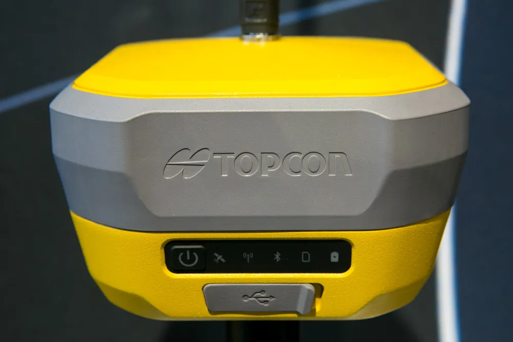
Spectra Precision says that its EPOCH 35 system benefits from the latest GPS and GLONASS technology to provide accurate cadastral, topographic, control and stakeout survey applications. Said to be reliable and cost-effective, the EPOCH 35 GNSS system includes a base, rover, field software, data collector, and radio. The rover features integrated Bluetooth capability, an internal radio modem and battery. For North America, the system operates with the proven TDS Survey Pro field software while for other mark
July 18, 2012 Read time: 1 min
Riegl's sophisticated V-Line range includes interfaces for GPS, networking and mobile operation together with high precision time stamping
2373 Spectra Precision says that its EPOCH 35 system benefits from the latest GPS and GLONASS technology to provide accurate cadastral, topographic, control and stakeout survey applications. Said to be reliable and cost-effective, the EPOCH 35 GNSS system includes a base, rover, field software, data collector, and radio. The rover features integrated Bluetooth capability, an internal radio modem and battery. For North America, the system operates with the proven TDS Survey Pro field software while for other markets, the system runs the Spectra Precision Field Surveyor package. For RTK surveying, the base system can include a choice of radio modems with either a long or short range data link from the base to the rover. In addition, Network RTK is also supported by simply connecting to an external data-capable cellular modem. Back at the office, surveyors can use the Spectra Precision Office Software for post-processing and quality control.

For more information on companies in this article

Related Content

  • Machine control as a key component of digital construction
    November 22, 2017
    By means of digitalisation and modern communication technologies, building information modelling (BIM) techniques are helping to improve construction site planning, process control and operation flow on jobsites.
  • Road and runway repair success
    July 2, 2012
    Fugro Aperio says it is improving the quality of road and airport runway repair techniques using its sophisticated ground penetrating radar (GPR) technology. The firm is now able to offer a combination of real time kinematic (RTK) GPS with multi channel radar systems due to partnerships with Yotta in the UK, and Pavement Management Services in Australia and the Middle East. This sophisticated package enables pre-planning of surveys, quicker execution and better positioning for more precise mapping of defect
  • Advanced GNSS capabilities with Topcon
    April 9, 2025

    Topcon Positioning says that its new HiPer XR offers more capabilities for GNSS duties. The HiPer receivers suit duties in survey applications, including engineering design, and cadastral projects. These versatile tools can also be used for construction site layout/stakeout, grade checking, and material volume calculations. HiPer receivers can also be paired with robotic total stations for Hybrid Positioning

  • New barriers are helping improve road safety
    June 30, 2014
    A series of new guardrail technologies and barrier developments are now coming to market - Mike Woof writes. An array of technical developments is helping improve highway safety for road users. New barrier and guardrail technologies can offer greater conspicuity so as to alert drivers, along with better restraint capabilities. Gregory Industries offers a wide range of steel and cable barrier types and has now developed an attachment system for international use. This fixes the guardrail to the post and in t